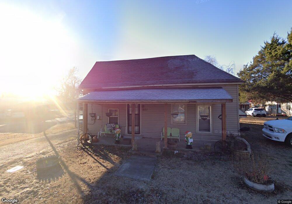
201 W Commercial St Clarkton, MO 63837
Estimated Value: $55,723 - $86,000
--
Bed
--
Bath
1,327
Sq Ft
$58/Sq Ft
Est. Value
About This Home
This home is located at 201 W Commercial St, Clarkton, MO 63837 and is currently estimated at $76,681, approximately $57 per square foot. 201 W Commercial St is a home with nearby schools including Clarkton Elementary School and Clarkton High School.
Ownership History
Date
Name
Owned For
Owner Type
Purchase Details
Closed on
Dec 9, 2004
Sold by
Bailey Charles H
Bought by
Tapp Jimmy N and Tapp Norma L
Current Estimated Value
Home Financials for this Owner
Home Financials are based on the most recent Mortgage that was taken out on this home.
Original Mortgage
$15,000
Interest Rate
7%
Mortgage Type
Purchase Money Mortgage
Create a Home Valuation Report for This Property
The Home Valuation Report is an in-depth analysis detailing your home's value as well as a comparison with similar homes in the area
Home Values in the Area
Average Home Value in this Area
Purchase History
| Date | Buyer | Sale Price | Title Company |
|---|---|---|---|
| Tapp Jimmy N | -- | None Available |
Source: Public Records
Mortgage History
| Date | Status | Borrower | Loan Amount |
|---|---|---|---|
| Previous Owner | Tapp Jimmy N | $15,000 |
Source: Public Records
Tax History Compared to Growth
Tax History
| Year | Tax Paid | Tax Assessment Tax Assessment Total Assessment is a certain percentage of the fair market value that is determined by local assessors to be the total taxable value of land and additions on the property. | Land | Improvement |
|---|---|---|---|---|
| 2025 | $278 | $6,270 | $0 | $0 |
| 2024 | $278 | $6,140 | $0 | $0 |
| 2023 | $278 | $6,140 | $0 | $0 |
| 2022 | $278 | $5,430 | $0 | $0 |
| 2021 | $278 | $5,430 | $0 | $0 |
| 2020 | $278 | $3,500 | $0 | $0 |
| 2019 | $280 | $3,500 | $0 | $0 |
| 2018 | $277 | $3,500 | $0 | $0 |
| 2017 | $285 | $3,500 | $0 | $0 |
| 2016 | -- | $90 | $0 | $0 |
| 2015 | -- | $3,500 | $0 | $0 |
| 2014 | -- | $3,500 | $0 | $0 |
| 2013 | -- | $3,500 | $0 | $0 |
Source: Public Records
Map
Nearby Homes
- 306 S Marion St
- 303 E Clark St
- 305 W Becky St
- 201 S Lunbeck Ave
- 0 County Road 334
- 300 N Main St
- 1645 Missouri 153
- 104 N Main St
- 1619 Missouri 153
- 406 N Anderson Ave
- 406 S Walker Ave
- 110 Main St
- 305 322 County Rd
- 0 County Road 330
- 312 Pecan Dr
- 36180 State Highway 25
- 4499 Missouri 153
- 36769 Missouri 25
- 31736 County Road 309
- 809 S Pollock St
- 200 W Commercial St
- 105 W Commercial St
- 310 S Madison St
- 312 S Park St
- 103 W Commercial St
- 104 W Commercial St
- 310 S Park St
- 204 W Harrison St
- 313 S Park St
- 109 W Harrison St
- 211 W Frisco St
- 309 S Washington St
- 403 S Main St
- 206 W Harrison St
- 311 S Park St
- 304 S Madison St
- 208 W Harrison St
- 312 S Marion St
- 309 S Park St
- 501 S Main St