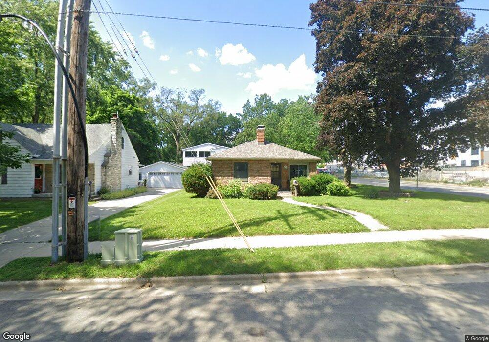
201 W Dean Ave Monona, WI 53716
Estimated Value: $387,000 - $435,000
2
Beds
2
Baths
1,570
Sq Ft
$256/Sq Ft
Est. Value
About This Home
This home is located at 201 W Dean Ave, Monona, WI 53716 and is currently estimated at $401,827, approximately $255 per square foot. 201 W Dean Ave is a home located in Dane County with nearby schools including Winnequah School, Glacial Drumlin School, and Monona Grove High School.
Ownership History
Date
Name
Owned For
Owner Type
Purchase Details
Closed on
Aug 13, 2009
Sold by
Lulling Robert M
Bought by
Stratton Womona Marie
Current Estimated Value
Home Financials for this Owner
Home Financials are based on the most recent Mortgage that was taken out on this home.
Original Mortgage
$163,975
Outstanding Balance
$107,728
Interest Rate
5.36%
Mortgage Type
FHA
Estimated Equity
$294,099
Create a Home Valuation Report for This Property
The Home Valuation Report is an in-depth analysis detailing your home's value as well as a comparison with similar homes in the area
Home Values in the Area
Average Home Value in this Area
Purchase History
| Date | Buyer | Sale Price | Title Company |
|---|---|---|---|
| Stratton Womona Marie | $167,000 | None Available |
Source: Public Records
Mortgage History
| Date | Status | Borrower | Loan Amount |
|---|---|---|---|
| Open | Stratton Womona Marie | $163,975 |
Source: Public Records
Tax History Compared to Growth
Tax History
| Year | Tax Paid | Tax Assessment Tax Assessment Total Assessment is a certain percentage of the fair market value that is determined by local assessors to be the total taxable value of land and additions on the property. | Land | Improvement |
|---|---|---|---|---|
| 2024 | $6,294 | $368,100 | $55,400 | $312,700 |
| 2023 | $5,658 | $327,400 | $50,400 | $277,000 |
| 2021 | $5,059 | $268,800 | $50,400 | $218,400 |
| 2020 | $4,899 | $249,500 | $50,400 | $199,100 |
| 2019 | $4,628 | $229,200 | $50,400 | $178,800 |
| 2018 | $4,875 | $218,700 | $50,400 | $168,300 |
| 2017 | $4,208 | $198,700 | $50,400 | $148,300 |
| 2016 | $3,982 | $187,800 | $50,400 | $137,400 |
| 2015 | $3,519 | $173,400 | $36,000 | $137,400 |
| 2014 | -- | $170,700 | $36,000 | $134,700 |
| 2013 | $3,224 | $158,900 | $36,000 | $122,900 |
Source: Public Records
Map
Nearby Homes
- 4603 Gordon Ave
- 4610 Schofield St
- 239 Tyler Cir
- 4701 Shore Acres Rd
- 413 Nichols Rd
- 4309 Hegg Ave
- 5421 Admiral Dr
- 4708 Camden Rd
- 5404 Healy Ln
- 5617 Winnequah Rd
- 835 Silas St
- 411 Midland Ln
- 6212 Bridge Rd
- 1907-1909 Dondee Rd
- 709 Dempsey Rd
- 127 Shato Ln Unit 127
- 1618 Angel Crest Way
- 507 Falcon Cir
- 3606 Atwood Ave
- 415 Falcon Cir
- 203 W Dean Ave
- 4611 Gordon Ave
- 205 W Dean Ave
- 4608 Wallace Ave
- 200 W Dean Ave
- 207 W Dean Ave
- 204 W Dean Ave
- 4607 Gordon Ave
- 4700 Gordon Ave
- 4606 Wallace Ave
- 206 W Dean Ave
- 4605 Gordon Ave
- 208 W Dean Ave
- 4702 Gordon Ave
- 4604 Wallace Ave
- 301 W Dean Ave
- 4704 Wallace Ave
- 4704 Gordon Ave
- 4602 Wallace Ave
- 4707 Gordon Ave