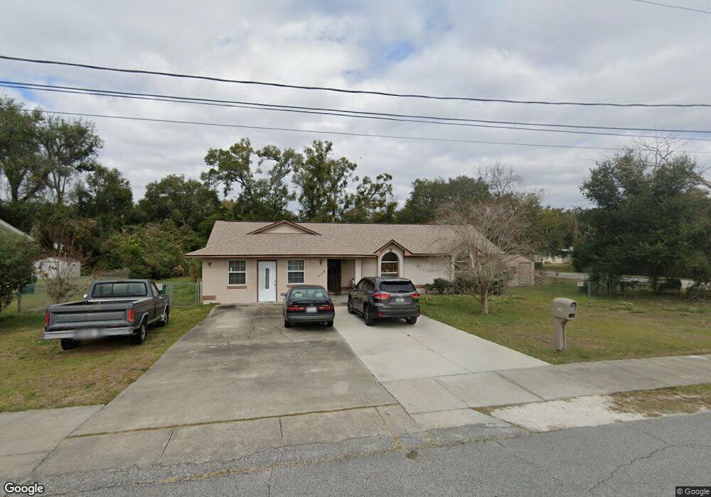
201 W Hubbard Ave Deland, FL 32720
Estimated Value: $262,000 - $282,000
3
Beds
2
Baths
1,937
Sq Ft
$140/Sq Ft
Est. Value
About This Home
This home is located at 201 W Hubbard Ave, Deland, FL 32720 and is currently estimated at $271,482, approximately $140 per square foot. 201 W Hubbard Ave is a home located in Volusia County with nearby schools including Edith I. Starke Elementary School, Deland High School, and Southwestern Middle School.
Ownership History
Date
Name
Owned For
Owner Type
Purchase Details
Closed on
Sep 11, 2000
Sold by
Jones Melvin and Howard Barbara A
Bought by
Jones Melvin and Jones Barbara A
Current Estimated Value
Purchase Details
Closed on
Mar 15, 1991
Bought by
Jones Melvin and Jones Barbara A
Purchase Details
Closed on
Feb 15, 1991
Bought by
Jones Melvin and Jones Barbara A
Purchase Details
Closed on
Jul 15, 1978
Bought by
Jones Melvin and Jones Barbara A
Create a Home Valuation Report for This Property
The Home Valuation Report is an in-depth analysis detailing your home's value as well as a comparison with similar homes in the area
Home Values in the Area
Average Home Value in this Area
Purchase History
| Date | Buyer | Sale Price | Title Company |
|---|---|---|---|
| Jones Melvin | -- | -- | |
| Jones Melvin | $100 | -- | |
| Jones Melvin | $10,000 | -- | |
| Jones Melvin | $280,000 | -- |
Source: Public Records
Tax History Compared to Growth
Tax History
| Year | Tax Paid | Tax Assessment Tax Assessment Total Assessment is a certain percentage of the fair market value that is determined by local assessors to be the total taxable value of land and additions on the property. | Land | Improvement |
|---|---|---|---|---|
| 2025 | $521 | $63,269 | -- | -- |
| 2024 | $521 | $61,486 | -- | -- |
| 2023 | $521 | $59,696 | $0 | $0 |
| 2022 | $521 | $57,957 | $0 | $0 |
| 2021 | $550 | $56,269 | $0 | $0 |
| 2020 | $548 | $55,492 | $0 | $0 |
| 2019 | $566 | $54,244 | $0 | $0 |
| 2018 | $583 | $53,233 | $0 | $0 |
| 2017 | $597 | $52,138 | $0 | $0 |
| 2016 | $582 | $51,066 | $0 | $0 |
| 2015 | $598 | $50,711 | $0 | $0 |
| 2014 | $609 | $50,309 | $0 | $0 |
Source: Public Records
Map
Nearby Homes
- 205 W Division St
- 221 W Euclid Ave
- 647 S Delaware Ave
- 709 S Parsons Ave
- 430 S Parsons Ave
- 711 S Palmetto Ave
- 406 S Delaware Ave
- 138 W Volusia Ave
- 217 W Chelsea St
- 534 S Adelle Ave
- 808 S Clara Ave
- 526 W Hubbard Ave
- 0 U S 92
- 0 Deland Unit MFRV4942835
- 0 Deland Unit 1213697
- 0 Deland Unit R11052053
- 409 W Beresford Ave
- 624 W Euclid Ave
- 614 S Amelia Ave
- 205 E Voorhis Ave
- 213 W Hubbard Ave
- 204 W Division St
- 202 W Division St
- 208 W Division St
- 529 S Florida Ave
- 219 W Hubbard Ave
- 210 W Division St
- 217 W Hubbard Ave
- 201 W Division St Unit SR
- 131 W Hubbard Ave
- 145 W Division St
- 207 W Division St
- 512 S Florida Ave
- 143 W Division St
- 221 W Hubbard Ave
- 209 W Division St
- 141 W Division St
- 211 W Division St Unit SR
- 129 W Division St
- 213 W Division St Unit SR