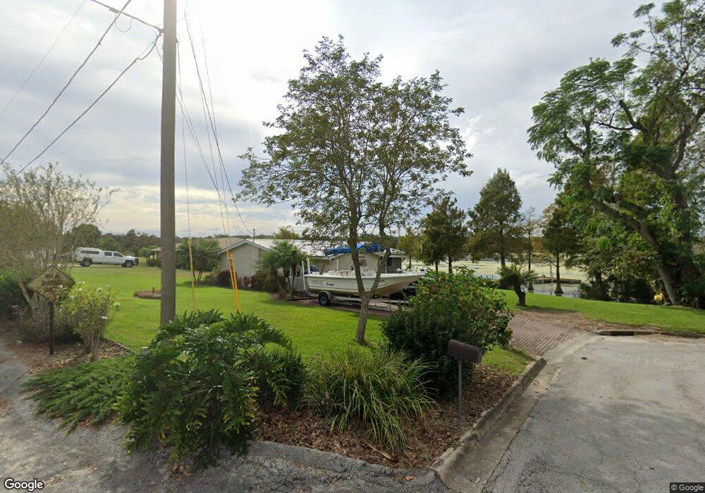
201 W Main St Dundee, FL 33838
Estimated Value: $217,000 - $277,000
3
Beds
1
Bath
1,223
Sq Ft
$193/Sq Ft
Est. Value
About This Home
This home is located at 201 W Main St, Dundee, FL 33838 and is currently estimated at $235,512, approximately $192 per square foot. 201 W Main St is a home located in Polk County with nearby schools including Dundee Elementary Academy, Alta Vista Elementary School, and Haines City Senior High School.
Ownership History
Date
Name
Owned For
Owner Type
Purchase Details
Closed on
Mar 15, 2022
Sold by
Dowd Billy R and Dowd Virginia L
Bought by
Dowd Family Living Trust
Current Estimated Value
Purchase Details
Closed on
Aug 12, 1998
Sold by
Weldon Bobby H and Weldon E
Bought by
Dowd Billy R and Dowd Virginia L
Home Financials for this Owner
Home Financials are based on the most recent Mortgage that was taken out on this home.
Original Mortgage
$73,200
Interest Rate
6.97%
Mortgage Type
New Conventional
Create a Home Valuation Report for This Property
The Home Valuation Report is an in-depth analysis detailing your home's value as well as a comparison with similar homes in the area
Home Values in the Area
Average Home Value in this Area
Purchase History
| Date | Buyer | Sale Price | Title Company |
|---|---|---|---|
| Dowd Family Living Trust | -- | None Listed On Document | |
| Dowd Billy R | $67,000 | -- |
Source: Public Records
Mortgage History
| Date | Status | Borrower | Loan Amount |
|---|---|---|---|
| Previous Owner | Dowd Billy R | $80,500 | |
| Previous Owner | Dowd Billy R | $73,400 | |
| Previous Owner | Dowd Billy R | $73,200 |
Source: Public Records
Tax History
| Year | Tax Paid | Tax Assessment Tax Assessment Total Assessment is a certain percentage of the fair market value that is determined by local assessors to be the total taxable value of land and additions on the property. | Land | Improvement |
|---|---|---|---|---|
| 2025 | $704 | $64,868 | -- | -- |
| 2024 | $700 | $63,040 | -- | -- |
| 2023 | $700 | $61,204 | $0 | $0 |
| 2022 | $695 | $59,421 | $0 | $0 |
| 2021 | $601 | $57,690 | $0 | $0 |
| 2020 | $600 | $56,893 | $0 | $0 |
| 2019 | $604 | $55,614 | $0 | $0 |
| 2018 | $583 | $54,577 | $0 | $0 |
| 2017 | $575 | $53,454 | $0 | $0 |
| 2016 | $576 | $52,355 | $0 | $0 |
Source: Public Records
Map
Nearby Homes
- 120 W Main St Unit 113
- 208 Shepard Ave
- 304 Shepard Ave
- 408 E Main St
- 734 Lake Dell Dr
- 762 Lake Dell Dr
- 708 Lake Dell Dr
- 738 Lake Dell Dr
- 733 Lake Dell Dr
- 811 Lake Dell Dr
- 746 Lake Dell Dr
- 13 Green Haven Ln E Unit 13
- 88 Emerald Dr E
- 209 Green Haven Rd E
- 65 Juniper Dr E
- 97 Emerald Dr E
- 236 Green Haven Rd E
- 417 E Main St
- 60 Juniper Dr E
- 7 Green Haven Rd E
- 209 E Main St
- 199 E Main St
- 5 Hwy 17
- 0 Main St Unit P4716849
- 215 E Main St
- 0 U S Hwy 27 Unit P4719264
- 0 U S Hwy 27 Unit MFRO6135869
- 0 U S Hwy 27 Unit P4921632
- 0 U S Hwy 27 Unit O5933741
- 0 U S Hwy 27 Unit P4913563
- 106 Center St
- 206 E Merrill Ave
- 135 E Main St
- 212 E Main St
- 210 E Merrill Ave
- 152 E Main St
- 212 E Merrill Ave
- 219 E Main St Unit A
- 214 E Merrill Ave
- 119 Shepard Ave
Your Personal Tour Guide
Ask me questions while you tour the home.