201 W Maple Rock Rd Matlock, WA 98560
Estimated Value: $370,000 - $408,000
3
Beds
1
Bath
1,956
Sq Ft
$201/Sq Ft
Est. Value
About This Home
This home is located at 201 W Maple Rock Rd, Matlock, WA 98560 and is currently estimated at $392,209, approximately $200 per square foot. 201 W Maple Rock Rd is a home located in Mason County with nearby schools including Mary M. Knight School and Washington Connections Academy.
Ownership History
Date
Name
Owned For
Owner Type
Purchase Details
Closed on
Nov 28, 2006
Sold by
Keith Diane D
Bought by
Bosch Michael J and Bosch Elzabieta
Current Estimated Value
Home Financials for this Owner
Home Financials are based on the most recent Mortgage that was taken out on this home.
Original Mortgage
$163,000
Outstanding Balance
$97,778
Interest Rate
6.37%
Mortgage Type
New Conventional
Estimated Equity
$294,431
Create a Home Valuation Report for This Property
The Home Valuation Report is an in-depth analysis detailing your home's value as well as a comparison with similar homes in the area
Home Values in the Area
Average Home Value in this Area
Purchase History
| Date | Buyer | Sale Price | Title Company |
|---|---|---|---|
| Bosch Michael J | $163,000 | Mason County Title Ins Co |
Source: Public Records
Mortgage History
| Date | Status | Borrower | Loan Amount |
|---|---|---|---|
| Open | Bosch Michael J | $163,000 |
Source: Public Records
Tax History Compared to Growth
Tax History
| Year | Tax Paid | Tax Assessment Tax Assessment Total Assessment is a certain percentage of the fair market value that is determined by local assessors to be the total taxable value of land and additions on the property. | Land | Improvement |
|---|---|---|---|---|
| 2025 | $2,093 | $305,480 | $79,165 | $226,315 |
| 2023 | $2,093 | $280,440 | $57,590 | $222,850 |
| 2022 | $2,220 | $232,705 | $43,960 | $188,745 |
| 2021 | $2,011 | $232,705 | $43,960 | $188,745 |
| 2020 | $1,895 | $199,740 | $43,960 | $155,780 |
| 2018 | $1,878 | $151,505 | $51,500 | $100,005 |
| 2017 | $1,587 | $151,505 | $51,500 | $100,005 |
| 2016 | $1,471 | $146,030 | $51,000 | $95,030 |
| 2015 | $1,531 | $132,750 | $43,500 | $89,250 |
| 2014 | -- | $134,185 | $43,500 | $90,685 |
| 2013 | -- | $138,225 | $45,000 | $93,225 |
Source: Public Records
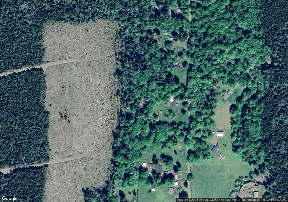
Map
Nearby Homes
- 0 XX W Maple Rock Rd
- 670 W Maple Rock Rd
- 433 W Lucas Ln
- 981 W Homer Adams Rd
- 211 W New Moon Ln
- 441 W Nahwatzel Beach Dr
- 20 W Newberry Ln
- 151 W Buck Prairie Rd
- 1982 W Ford Loop Rd
- 0 Cougar Smith Rd
- 0 Lot 4 W Elk Hill Rd
- 0 Lot 1&2 W Elk Hill Rd
- 1600 W Star Lake Dr
- 21 W Prairie Loop Rd
- 0 Lot 87 W Star Lake Dr
- 80 W Grizzly Ridge Rd
- 192 Arrowhead Dr
- 72 Lot Arrowhead Dr
- 131 W Chimacum Dr
- 1121 W Highland Rd
- 110 W Maple Rock Rd
- 250 W Maple Rock Rd
- 271 W Maple Rock Rd
- 91 W Maple Rock Rd
- 321 W Maple Rock Rd
- 361 W Maple Rock Rd
- 578 W Deckerville Rd
- 818 W Deckerville Rd
- 0 W Deckerville Rd NW Unit NWM30900690
- 0 W Deckerville Rd Unit 24931002
- TR1 W Deckerville Rd
- 421 W Maple Rock Rd
- 1041 W Deckerville Rd
- 547 W Deckerville Rd
- 50 W Dry Bed Creek Rd
- 861 W Deckerville Rd
- 450 W Maple Rock Rd
- 51 W Dry Bed Ln
- 961 W Deckerville Rd
- 120 W Dry Bed Creek Rd