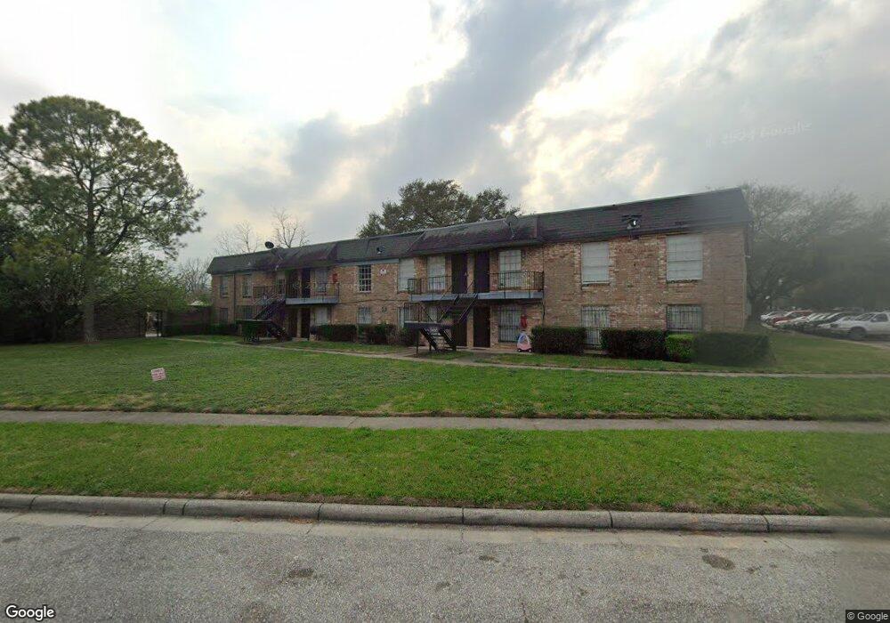
201 W Rosamond St Unit 63 Houston, TX 77076
Northside-Northline NeighborhoodEstimated Value: $44,066 - $51,000
1
Bed
1
Bath
432
Sq Ft
$108/Sq Ft
Est. Value
About This Home
This home is located at 201 W Rosamond St Unit 63, Houston, TX 77076 and is currently estimated at $46,689, approximately $108 per square foot. 201 W Rosamond St Unit 63 is a home located in Harris County with nearby schools including Wesley Elementary School, Williams Middle, and Booker T Washington Sr High.
Ownership History
Date
Name
Owned For
Owner Type
Purchase Details
Closed on
Apr 27, 2016
Sold by
Molina Eufracio B and Molina Susan C
Bought by
Reyes Wilfredo A
Current Estimated Value
Purchase Details
Closed on
Feb 6, 2001
Sold by
Davison Sol and Davison Dorothy
Bought by
Henry Michael L
Home Financials for this Owner
Home Financials are based on the most recent Mortgage that was taken out on this home.
Original Mortgage
$6,750
Interest Rate
7.13%
Create a Home Valuation Report for This Property
The Home Valuation Report is an in-depth analysis detailing your home's value as well as a comparison with similar homes in the area
Home Values in the Area
Average Home Value in this Area
Purchase History
| Date | Buyer | Sale Price | Title Company |
|---|---|---|---|
| Reyes Wilfredo A | -- | None Available | |
| Henry Michael L | -- | First American Title |
Source: Public Records
Mortgage History
| Date | Status | Borrower | Loan Amount |
|---|---|---|---|
| Previous Owner | Henry Michael L | $6,750 |
Source: Public Records
Tax History Compared to Growth
Tax History
| Year | Tax Paid | Tax Assessment Tax Assessment Total Assessment is a certain percentage of the fair market value that is determined by local assessors to be the total taxable value of land and additions on the property. | Land | Improvement |
|---|---|---|---|---|
| 2025 | $794 | $31,905 | $6,062 | $25,843 |
| 2024 | $794 | $37,933 | $7,207 | $30,726 |
| 2023 | $794 | $39,272 | $7,462 | $31,810 |
| 2022 | $822 | $37,319 | $7,091 | $30,228 |
| 2021 | $767 | $32,900 | $6,251 | $26,649 |
| 2020 | $860 | $35,518 | $6,748 | $28,770 |
| 2019 | $700 | $27,644 | $5,252 | $22,392 |
| 2018 | $507 | $20,045 | $3,809 | $16,236 |
| 2017 | $507 | $20,045 | $3,809 | $16,236 |
| 2016 | $457 | $18,087 | $3,437 | $14,650 |
| 2015 | $310 | $12,070 | $2,293 | $9,777 |
| 2014 | $310 | $12,070 | $2,293 | $9,777 |
Source: Public Records
Map
Nearby Homes
- 201 W Rosamond St Unit 41
- 201 W Rosamond St Unit 53
- 201 W Rosamond St Unit 61
- 327 Yale Oaks Ln
- 334 Yale Oaks Ln
- 410 Yale Oaks Ln
- 6057 Yale St
- 422 Yale Oaks Ln
- 427 Yale Oaks Ln
- 434 Yale Oaks Ln
- 122 W Wellington St
- 401 New Haven Dr
- 406 Red Ripple Rd
- 422 Surratt Dr
- 302 W Hamilton St
- 304 W Hamilton Lot B St
- 304 W St
- 304 W St E
- 304 W Hamilton St
- 304 W Hamilton Lot C St
- 201 W Rosamond St Unit 3
- 201 W Rosamond St Unit 37
- 201 W Rosamond St Unit 36
- 201 W Rosamond St Unit 25
- 201 W Rosamond St Unit 43
- 201 W Rosamond St Unit 64
- 201 W Rosamond St Unit 1
- 201 W Rosamond St Unit 62
- 201 W Rosamond St Unit 60
- 201 W Rosamond St Unit 59
- 201 W Rosamond St Unit 57
- 201 W Rosamond St Unit 55
- 201 W Rosamond St Unit 54
- 201 W Rosamond St Unit 51
- 201 W Rosamond St Unit 50
- 201 W Rosamond St Unit 49
- 201 W Rosamond St Unit 48
- 201 W Rosamond St Unit 47
- 201 W Rosamond St Unit 46
- 201 W Rosamond St Unit 45