201 W Tolas Place Fallon, NV 89406
--
Bed
--
Bath
63,200
Sq Ft
3
Acres
About This Home
This home is located at 201 W Tolas Place, Fallon, NV 89406. 201 W Tolas Place is a home located in Churchill County with nearby schools including Lahontan Elementary School, E.C. Best Elementary School, and Numa Elementary School.
Ownership History
Date
Name
Owned For
Owner Type
Purchase Details
Closed on
Dec 3, 2007
Sold by
Chisholm Judith H
Bought by
Tolas Place Storage Llc
Purchase Details
Closed on
Jul 30, 2007
Sold by
Central Nevada Development Inc
Bought by
Chisholm Judith H and Judith H Chisholm Family Trust
Purchase Details
Closed on
Apr 18, 2006
Sold by
Lspi Exchange Corp
Bought by
Central Nevada Development Inc
Purchase Details
Closed on
Sep 27, 2005
Sold by
Epps Paul E
Bought by
Lspi Exchange Corp
Home Financials for this Owner
Home Financials are based on the most recent Mortgage that was taken out on this home.
Original Mortgage
$370,000
Interest Rate
5.72%
Mortgage Type
Seller Take Back
Create a Home Valuation Report for This Property
The Home Valuation Report is an in-depth analysis detailing your home's value as well as a comparison with similar homes in the area
Home Values in the Area
Average Home Value in this Area
Purchase History
| Date | Buyer | Sale Price | Title Company |
|---|---|---|---|
| Tolas Place Storage Llc | -- | None Available | |
| Chisholm Judith H | $420,000 | Western Nevada Title Company | |
| Central Nevada Development Inc | $450,000 | Western Nevada Title Company | |
| Lspi Exchange Corp | $450,000 | Western Nevada Title Company |
Source: Public Records
Mortgage History
| Date | Status | Borrower | Loan Amount |
|---|---|---|---|
| Previous Owner | Lspi Exchange Corp | $370,000 |
Source: Public Records
Tax History Compared to Growth
Tax History
| Year | Tax Paid | Tax Assessment Tax Assessment Total Assessment is a certain percentage of the fair market value that is determined by local assessors to be the total taxable value of land and additions on the property. | Land | Improvement |
|---|---|---|---|---|
| 2025 | $17,293 | $469,457 | $66,646 | $402,811 |
| 2024 | $17,293 | $480,162 | $66,646 | $413,516 |
| 2023 | $17,293 | $436,867 | $66,646 | $370,221 |
| 2022 | $15,174 | $414,028 | $94,500 | $319,528 |
| 2021 | $14,569 | $397,515 | $94,500 | $303,015 |
| 2020 | $14,715 | $402,672 | $94,500 | $308,172 |
| 2019 | $14,204 | $387,604 | $94,500 | $293,104 |
| 2018 | $14,057 | $383,594 | $94,500 | $289,094 |
| 2017 | $13,829 | $383,306 | $94,500 | $288,806 |
| 2016 | $13,482 | $298,974 | $94,500 | $204,474 |
| 2015 | $10,957 | $300,194 | $94,500 | $205,694 |
| 2014 | $11,002 | $322,720 | $94,500 | $228,220 |
Source: Public Records
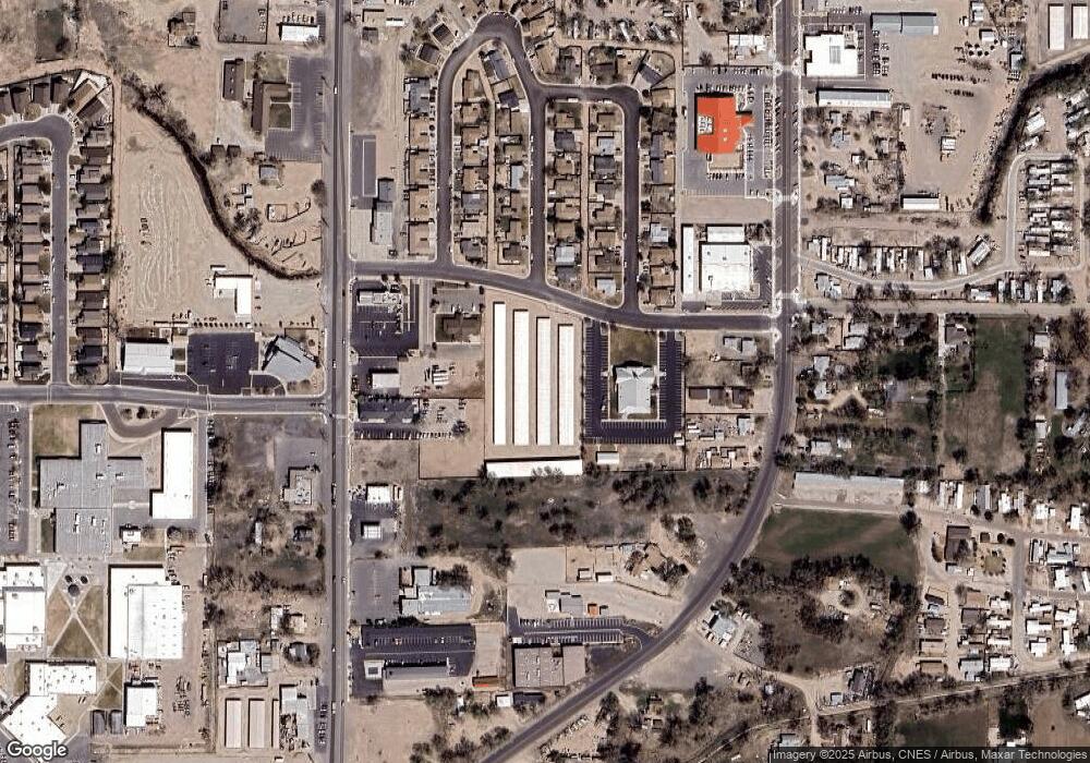
Map
Nearby Homes
- 1091 Tiffany Dr
- 1049 Deena Way
- 620 Sunset Dr
- 1.55 Acres on S Maine St
- 575 Babb Place
- 627 S Maine St
- 301 Tolas Place Unit 8
- 360 & 360 1/2 W Virginia St
- 549 Lincoln St
- 00702160 Churchill St
- 485 S Russell St
- 659 Esmeralda St
- 468 S Maine St
- 445 S Allen St
- 870 Sunset Dr
- 355 W Stillwater Ave
- 845 Mc Lean St
- 245 E Fairview St
- 435 Cindy Ln
- 321 Silver Spur Dr
- 1081 Christine Way
- 1080 Tiffany Dr
- 1060 Christine Way
- 1061 Christine Way
- 1060 Tiffany Dr
- 1041 Mark Ave
- 1041 Christine Way
- 1040 Christine Way
- 1040 Tiffany Dr
- 1081 Tiffany Dr
- 1021 Mark Ave
- 1021 Christine Way
- 1291 S Taylor St
- 1020 Tiffany Dr
- 1020 Tiffany Dr Unit 1
- 1020 Christine Way
- 1160 S Maine St
- 1101 S Taylor St
- 1180 S Maine St
- 1040 Mark Ave