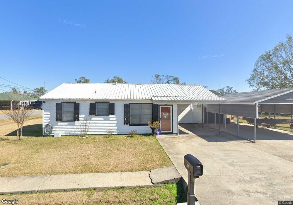
201 Walnut St Lockport, LA 70374
Estimated Value: $110,159 - $155,000
3
Beds
1
Bath
840
Sq Ft
$166/Sq Ft
Est. Value
About This Home
This home is located at 201 Walnut St, Lockport, LA 70374 and is currently estimated at $139,040, approximately $165 per square foot. 201 Walnut St is a home located in Lafourche Parish with nearby schools including Lockport Lower Elementary School, Lockport Upper Elementary School, and Lockport Middle School.
Ownership History
Date
Name
Owned For
Owner Type
Purchase Details
Closed on
May 4, 2017
Sold by
Adair Arendal Anthony and Adair Arendal
Bought by
Gautreaux Candy Lee
Current Estimated Value
Home Financials for this Owner
Home Financials are based on the most recent Mortgage that was taken out on this home.
Original Mortgage
$111,111
Outstanding Balance
$92,403
Interest Rate
4.1%
Mortgage Type
New Conventional
Estimated Equity
$46,637
Purchase Details
Closed on
Jul 12, 2011
Sold by
Adams Netty Ann Leblanc and Leblanc Charles Anthony
Bought by
Adair Arendal and Gautreaux Samantha Rae
Home Financials for this Owner
Home Financials are based on the most recent Mortgage that was taken out on this home.
Original Mortgage
$91,295
Interest Rate
4.53%
Mortgage Type
Future Advance Clause Open End Mortgage
Create a Home Valuation Report for This Property
The Home Valuation Report is an in-depth analysis detailing your home's value as well as a comparison with similar homes in the area
Home Values in the Area
Average Home Value in this Area
Purchase History
| Date | Buyer | Sale Price | Title Company |
|---|---|---|---|
| Gautreaux Candy Lee | $111,250 | None Available | |
| Adair Arendal | $90,000 | None Available |
Source: Public Records
Mortgage History
| Date | Status | Borrower | Loan Amount |
|---|---|---|---|
| Open | Gautreaux Candy Lee | $111,111 | |
| Previous Owner | Adair Arendal | $91,295 |
Source: Public Records
Tax History
| Year | Tax Paid | Tax Assessment Tax Assessment Total Assessment is a certain percentage of the fair market value that is determined by local assessors to be the total taxable value of land and additions on the property. | Land | Improvement |
|---|---|---|---|---|
| 2023 | $67 | $8,080 | $620 | $7,460 |
| 2022 | $930 | $8,080 | $620 | $7,460 |
| 2021 | $718 | $8,080 | $620 | $7,460 |
| 2020 | $857 | $8,080 | $620 | $7,460 |
| 2019 | $885 | $7,930 | $620 | $7,310 |
| 2018 | $864 | $7,930 | $620 | $7,310 |
| 2017 | $871 | $7,930 | $620 | $7,310 |
| 2016 | $116 | $7,930 | $620 | $7,310 |
| 2015 | $940 | $7,930 | $0 | $0 |
| 2014 | $895 | $7,930 | $0 | $0 |
| 2013 | $114 | $7,930 | $0 | $0 |
Source: Public Records
Map
Nearby Homes
- 210 Church St
- 706 Catherine St
- 605 8th St
- Lot 17 Delta Dr
- 830 Catherine St
- 151 Barrilleaux St
- 422 Justin St
- 163 Comeaux Dr
- 133 Catherine St
- 13233 E Main St
- 376 Comeaux Dr
- 1113 Catherine St
- 236 E Lerille St
- 721 E Main St
- 0 Louisiana 308
- 1431 Crescent Ave
- 1002 Lafourche St
- Lot 4 N Willow St
- Lot 1 N Willow St Unit Block 27
- Lot 3 N Willow St Unit Block 27
Your Personal Tour Guide
Ask me questions while you tour the home.