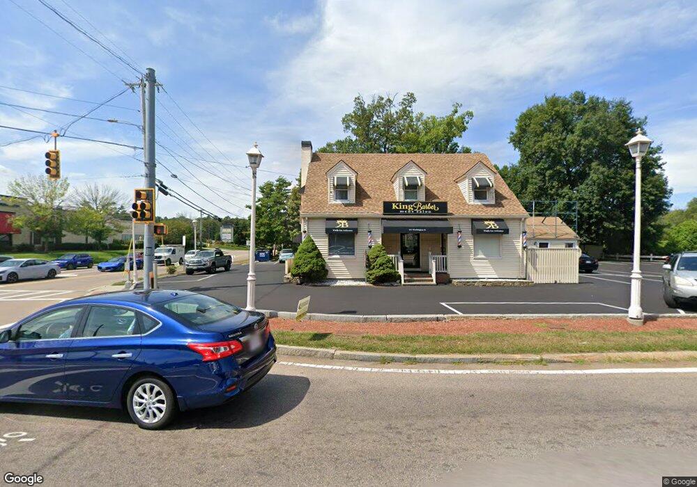
201 Washington St Attleboro, MA 02703
Estimated Value: $829,695
--
Bed
3
Baths
2,115
Sq Ft
$392/Sq Ft
Est. Value
About This Home
This home is located at 201 Washington St, Attleboro, MA 02703 and is currently estimated at $829,695, approximately $392 per square foot. 201 Washington St is a home located in Bristol County with nearby schools including Hill-Roberts Elementary School, Robert J. Coelho Middle School, and Attleboro High School.
Ownership History
Date
Name
Owned For
Owner Type
Purchase Details
Closed on
May 19, 1998
Sold by
Morrison Donald H and Morrison Kit Lynn
Bought by
Campbell Silvia
Current Estimated Value
Create a Home Valuation Report for This Property
The Home Valuation Report is an in-depth analysis detailing your home's value as well as a comparison with similar homes in the area
Home Values in the Area
Average Home Value in this Area
Purchase History
| Date | Buyer | Sale Price | Title Company |
|---|---|---|---|
| Campbell Silvia | $190,000 | -- | |
| Campbell Silvia | $190,000 | -- |
Source: Public Records
Mortgage History
| Date | Status | Borrower | Loan Amount |
|---|---|---|---|
| Previous Owner | Campbell Silvia | $120,000 |
Source: Public Records
Tax History Compared to Growth
Tax History
| Year | Tax Paid | Tax Assessment Tax Assessment Total Assessment is a certain percentage of the fair market value that is determined by local assessors to be the total taxable value of land and additions on the property. | Land | Improvement |
|---|---|---|---|---|
| 2025 | $0 | $624,200 | $357,200 | $267,000 |
| 2024 | $14,322 | $628,700 | $357,200 | $271,500 |
| 2023 | $0 | $633,300 | $357,200 | $276,100 |
| 2022 | $14,322 | $637,900 | $357,200 | $280,700 |
| 2021 | $15,259 | $719,100 | $433,900 | $285,200 |
| 2020 | $14,322 | $679,100 | $412,800 | $266,300 |
| 2019 | $13,558 | $671,200 | $412,800 | $258,400 |
| 2018 | $13,408 | $663,100 | $400,800 | $262,300 |
| 2017 | $13,629 | $667,100 | $400,800 | $266,300 |
| 2016 | $12,044 | $562,300 | $400,800 | $161,500 |
| 2015 | $12,053 | $565,600 | $400,800 | $164,800 |
| 2014 | $12,151 | $562,800 | $400,800 | $162,000 |
Source: Public Records
Map
Nearby Homes
- 48 May St
- 543 Newport Ave
- 23 Cumberland Ave
- 135 Cumberland Ave
- 11 Howarth Ave
- 64 Highland Ave Unit B
- 64 Highland Ave Unit A
- 338 Newport Ave
- 276 Newport Ave
- 0 Mendon Rd
- 17 Lockwood Ave
- 59 Samuel Way
- 0 Middle St
- 130 Zoar Ave
- 176 Read St
- 15 Arline Dr
- 39 Slade Ave
- 1 Frederick a Nittel Dr
- 44 Buffington St
- 96 Robinson Ave