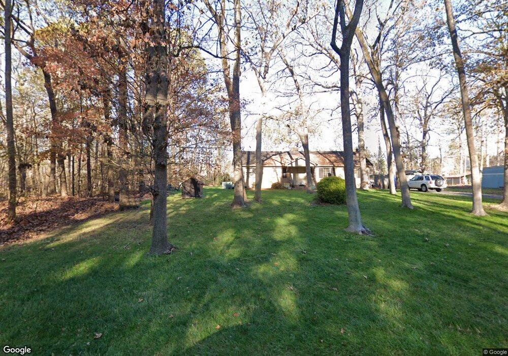
201 Wesley Woods Rd Monroe, NC 28110
Estimated Value: $297,000 - $340,000
3
Beds
2
Baths
1,248
Sq Ft
$252/Sq Ft
Est. Value
About This Home
This home is located at 201 Wesley Woods Rd, Monroe, NC 28110 and is currently estimated at $314,134, approximately $251 per square foot. 201 Wesley Woods Rd is a home located in Union County with nearby schools including Rocky River Elementary School, Sun Valley Middle School, and Sun Valley High School.
Ownership History
Date
Name
Owned For
Owner Type
Purchase Details
Closed on
Sep 7, 1999
Sold by
Lepner Steven A and Lepner Cecelia L
Bought by
Lepner Steven A and Lepner Cecelia L
Current Estimated Value
Home Financials for this Owner
Home Financials are based on the most recent Mortgage that was taken out on this home.
Original Mortgage
$29,304
Interest Rate
7.73%
Purchase Details
Closed on
Jun 30, 1997
Sold by
Medlin Tony L and Wife Darlene P
Bought by
Carter Sarah A
Create a Home Valuation Report for This Property
The Home Valuation Report is an in-depth analysis detailing your home's value as well as a comparison with similar homes in the area
Purchase History
| Date | Buyer | Sale Price | Title Company |
|---|---|---|---|
| Lepner Steven A | -- | -- | |
| Lepner Steven A | $12,000 | -- | |
| Carter Sarah A | $79,000 | -- |
Source: Public Records
Mortgage History
| Date | Status | Borrower | Loan Amount |
|---|---|---|---|
| Closed | Lepner Steven A | $29,304 |
Source: Public Records
Tax History
| Year | Tax Paid | Tax Assessment Tax Assessment Total Assessment is a certain percentage of the fair market value that is determined by local assessors to be the total taxable value of land and additions on the property. | Land | Improvement |
|---|---|---|---|---|
| 2025 | $1,190 | $245,900 | $0 | $0 |
| 2024 | $905 | $138,800 | $44,500 | $94,300 |
| 2023 | $889 | $138,800 | $44,500 | $94,300 |
| 2022 | $864 | $138,800 | $44,500 | $94,300 |
| 2021 | $863 | $138,800 | $44,500 | $94,300 |
| 2020 | $860 | $109,680 | $21,480 | $88,200 |
| 2019 | $902 | $109,680 | $21,480 | $88,200 |
| 2018 | $902 | $109,680 | $21,480 | $88,200 |
| 2017 | $957 | $109,700 | $21,500 | $88,200 |
| 2016 | $928 | $109,680 | $21,480 | $88,200 |
| 2015 | $938 | $109,680 | $21,480 | $88,200 |
| 2014 | $776 | $106,930 | $31,400 | $75,530 |
Source: Public Records
Map
Nearby Homes
- 226 Waterlemon Way
- 211 Waterlemon Way
- 4804 Manchineel Ln
- 4706 Manchineel Ln
- 500 Lindsborg Trail
- 3704 Weddington Rd
- 3502 Sanford Ln
- 5021 Markfield Ln
- 816 N Rocky River Rd Unit 7
- 0 N Rocky River Rd Unit CAR4349734
- 6023 Walkers Run Dr
- 814 N Rocky River Rd Unit 8
- 5009 Hampton Meadows Rd
- 1428 Torrens Dr
- 1415 Torrens Dr
- 0000 Clarence Secrest Rd
- 201 Airport Rd
- 205 Airport Rd
- 1024 Willoughby Rd
- 3205 Basilwood Cir
- 203 Wesley Woods Rd
- 4306 Mary Point Rd
- 4306 Marys Point Rd
- 4304 Mary Point Rd
- 4308 Mary Point Rd
- 4302 Mary Point Rd
- 4310 Mary Point Rd
- 208 Lameshur Ln
- 206 Lameshur Ln
- 4312 Marys Point Rd Unit 137
- 4312 Mary Point Rd
- 204 Lameshur Ln
- 4300 Mary Point Rd
- 4314 Mary Point Rd
- 4314 Mary Point Rd
- 202 Lameshur Ln
- 300 Lameshur Ln
- 4316 Mary Point Rd
- 306 Lameshur Ln
- 200 Lameshur Ln
Your Personal Tour Guide
Ask me questions while you tour the home.