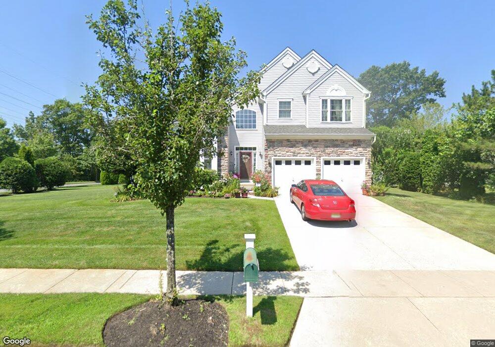
201 Westgate Rd Egg Harbor Township, NJ 08234
Estimated Value: $598,475 - $653,000
4
Beds
3
Baths
3,182
Sq Ft
$195/Sq Ft
Est. Value
About This Home
This home is located at 201 Westgate Rd, Egg Harbor Township, NJ 08234 and is currently estimated at $619,869, approximately $194 per square foot. 201 Westgate Rd is a home located in Atlantic County with nearby schools including Egg Harbor Township High School, Islamic Academy of South Jersey, and English Creek Academy.
Ownership History
Date
Name
Owned For
Owner Type
Purchase Details
Closed on
Mar 13, 2007
Sold by
Baker Residential Of Pennsylva
Bought by
Saintonge Ronald and Saintonge Gonzalo Juanita
Current Estimated Value
Home Financials for this Owner
Home Financials are based on the most recent Mortgage that was taken out on this home.
Original Mortgage
$302,753
Outstanding Balance
$183,152
Interest Rate
6.25%
Mortgage Type
Purchase Money Mortgage
Estimated Equity
$436,717
Create a Home Valuation Report for This Property
The Home Valuation Report is an in-depth analysis detailing your home's value as well as a comparison with similar homes in the area
Home Values in the Area
Average Home Value in this Area
Purchase History
| Date | Buyer | Sale Price | Title Company |
|---|---|---|---|
| Saintonge Ronald | $432,505 | -- |
Source: Public Records
Mortgage History
| Date | Status | Borrower | Loan Amount |
|---|---|---|---|
| Open | Saintonge Ronald | $302,753 |
Source: Public Records
Tax History Compared to Growth
Tax History
| Year | Tax Paid | Tax Assessment Tax Assessment Total Assessment is a certain percentage of the fair market value that is determined by local assessors to be the total taxable value of land and additions on the property. | Land | Improvement |
|---|---|---|---|---|
| 2025 | $9,556 | $284,900 | $42,300 | $242,600 |
| 2024 | $9,556 | $284,900 | $42,300 | $242,600 |
| 2023 | $9,501 | $284,900 | $42,300 | $242,600 |
| 2022 | $9,501 | $284,900 | $42,300 | $242,600 |
| 2021 | $9,578 | $284,900 | $42,300 | $242,600 |
| 2020 | $9,405 | $284,900 | $42,300 | $242,600 |
| 2019 | $9,148 | $284,900 | $42,300 | $242,600 |
| 2018 | $8,952 | $284,900 | $42,300 | $242,600 |
| 2017 | $8,920 | $284,900 | $42,300 | $242,600 |
| 2016 | $8,567 | $284,900 | $42,300 | $242,600 |
| 2015 | $8,442 | $284,900 | $42,300 | $242,600 |
| 2014 | $8,274 | $284,900 | $42,300 | $242,600 |
Source: Public Records
Map
Nearby Homes
- 68 Northridge Dr
- 22 Westover Cir Unit 22C1
- 22 Westover Cir Unit 1
- 110 Leo Ave
- 6035 W Jersey Ave
- 165 Turnberry Ct
- 105 Leo Ave
- 106 Leo Ave
- 117 Bernard Ave
- 154 Muirfield Ct
- 150 Troon Ct
- 156 Muirfield Ct
- 172 Turnberry Ct
- 103 Bernard Ave
- 131 Aberdeen Ct Unit 131
- 182 Pebble Beach Dr
- 197 Pebble Beach Dr Unit 197
- 3083 Mckee Ave
- 98 Martin l King Ave
- 303 Springfield Ave