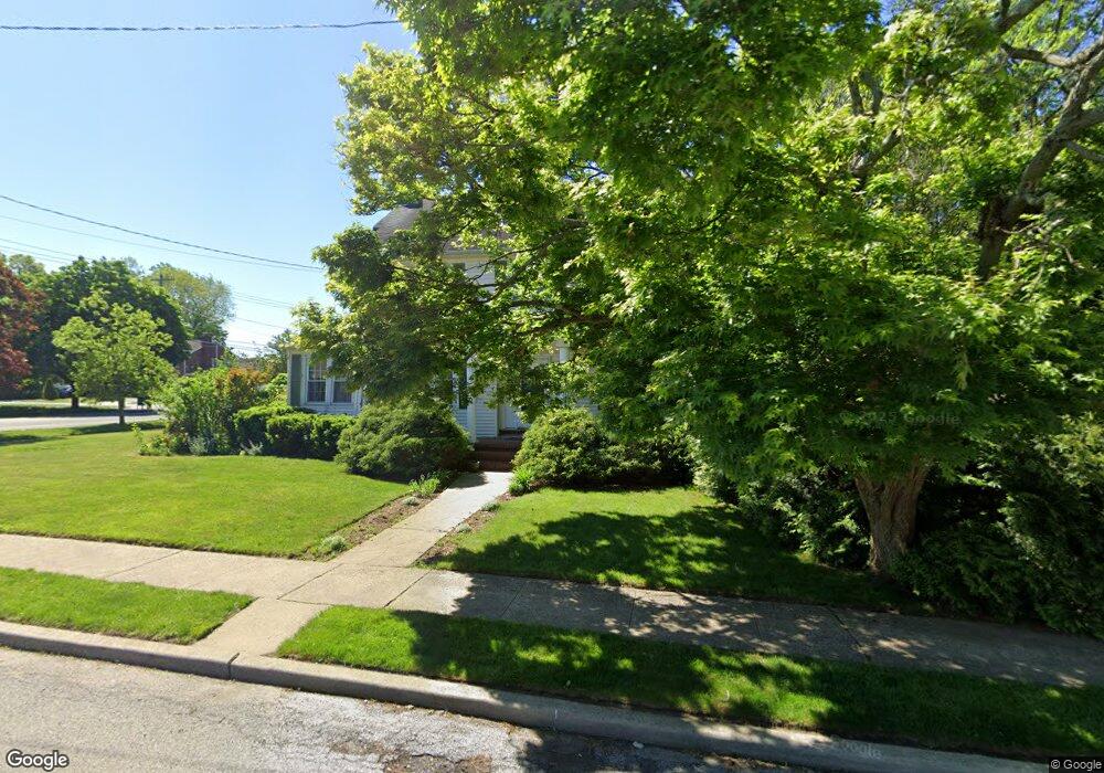
201 Westminster Rd West Hempstead, NY 11552
Estimated Value: $978,018 - $1,114,000
4
Beds
4
Baths
2,408
Sq Ft
$434/Sq Ft
Est. Value
About This Home
This home is located at 201 Westminster Rd, West Hempstead, NY 11552 and is currently estimated at $1,046,009, approximately $434 per square foot. 201 Westminster Rd is a home located in Nassau County with nearby schools including Chestnut Street School, West Hempstead Secondary School, and The Waldorf School of Garden City.
Ownership History
Date
Name
Owned For
Owner Type
Purchase Details
Closed on
Mar 7, 2011
Sold by
King Gregory
Bought by
Greaves Tyrone
Current Estimated Value
Home Financials for this Owner
Home Financials are based on the most recent Mortgage that was taken out on this home.
Original Mortgage
$488,133
Outstanding Balance
$332,697
Interest Rate
4.62%
Mortgage Type
FHA
Estimated Equity
$713,312
Create a Home Valuation Report for This Property
The Home Valuation Report is an in-depth analysis detailing your home's value as well as a comparison with similar homes in the area
Home Values in the Area
Average Home Value in this Area
Purchase History
| Date | Buyer | Sale Price | Title Company |
|---|---|---|---|
| Greaves Tyrone | $537,000 | -- |
Source: Public Records
Mortgage History
| Date | Status | Borrower | Loan Amount |
|---|---|---|---|
| Open | Greaves Tyrone | $488,133 |
Source: Public Records
Tax History Compared to Growth
Tax History
| Year | Tax Paid | Tax Assessment Tax Assessment Total Assessment is a certain percentage of the fair market value that is determined by local assessors to be the total taxable value of land and additions on the property. | Land | Improvement |
|---|---|---|---|---|
| 2025 | $17,369 | $649 | $276 | $373 |
| 2024 | $5,571 | $649 | $276 | $373 |
| 2023 | $15,069 | $649 | $276 | $373 |
| 2022 | $15,069 | $649 | $276 | $373 |
| 2021 | $19,583 | $620 | $264 | $356 |
| 2020 | $13,776 | $766 | $487 | $279 |
| 2019 | $12,677 | $821 | $490 | $331 |
| 2018 | $12,792 | $875 | $0 | $0 |
| 2017 | $11,020 | $1,167 | $522 | $645 |
| 2016 | $16,682 | $1,167 | $522 | $645 |
| 2015 | $5,279 | $1,167 | $499 | $668 |
| 2014 | $5,279 | $1,167 | $499 | $668 |
| 2013 | $4,936 | $1,167 | $522 | $645 |
Source: Public Records
Map
Nearby Homes
- 252 Lexington Ave
- 301 Concord Ave
- 50 Mayfair Ave
- 253 William St
- 47 Stratford Rd
- 2 Sunset Ln
- 67 3rd St
- 170 Ivy St
- 197 Ivy St
- 306 Cambridge Ave
- 39 Hilbert St
- 181 Oak St
- 89 Osborne Rd
- 200 Hilton Ave Unit 55
- 26 Sycamore St
- 179 Fairlawn Ave
- 144 Hilton Ave
- 87 Elton St
- 35 Mulford Place
- 30 Cathedral Ave Unit 4A
- 197 Westminster Rd
- 146 Avon Place
- 159 Avon Place
- 191 Westminster Rd
- 158 Saint Pauls Place
- 215 Westminster Rd
- 158 Avon Place
- 162 Saint Pauls Place
- 164 Garden Place
- 160 Garden Place
- 170 Garden Place
- 204 Westminster Rd
- 134 Saint Pauls Place
- 2 Avon Place
- 221 Westminster Rd
- 174 Garden Place
- 141 Saint Pauls Place
- 163 Eton Place
- 139 Saint Pauls Place
- 156 Garden Place