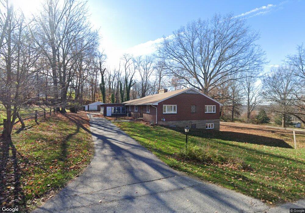
201 Westview Dr Wooster, OH 44691
Estimated Value: $220,000 - $278,000
4
Beds
3
Baths
1,954
Sq Ft
$124/Sq Ft
Est. Value
About This Home
This home is located at 201 Westview Dr, Wooster, OH 44691 and is currently estimated at $242,165, approximately $123 per square foot. 201 Westview Dr is a home located in Wayne County with nearby schools including Triway High School, St. Mary of Immaculate Conception School, and Montessori School of Wooster.
Ownership History
Date
Name
Owned For
Owner Type
Purchase Details
Closed on
Apr 10, 2024
Sold by
Curls Girls Llc
Bought by
Squier Julianne
Current Estimated Value
Purchase Details
Closed on
Nov 10, 2014
Sold by
Squier Julianne and Cherney Mary Jo
Bought by
Curls Girls Llc
Purchase Details
Closed on
Oct 24, 2014
Sold by
Estate Of Helen L Buss
Bought by
Grothaus Kay L and Squier Julianne
Purchase Details
Closed on
Jun 16, 2014
Sold by
Puss David R and Buss Marcia B
Bought by
Squier Julianne and Cherney Mary Jo
Purchase Details
Closed on
Jan 1, 1987
Bought by
Buss Helen Louise
Create a Home Valuation Report for This Property
The Home Valuation Report is an in-depth analysis detailing your home's value as well as a comparison with similar homes in the area
Home Values in the Area
Average Home Value in this Area
Purchase History
| Date | Buyer | Sale Price | Title Company |
|---|---|---|---|
| Squier Julianne | -- | None Listed On Document | |
| Squier Julianne | -- | None Listed On Document | |
| Curls Girls Llc | -- | Attorney | |
| Grothaus Kay L | -- | None Available | |
| Squier Julianne | -- | Attorney | |
| Buss Helen Louise | -- | -- |
Source: Public Records
Tax History Compared to Growth
Tax History
| Year | Tax Paid | Tax Assessment Tax Assessment Total Assessment is a certain percentage of the fair market value that is determined by local assessors to be the total taxable value of land and additions on the property. | Land | Improvement |
|---|---|---|---|---|
| 2024 | $2,652 | $69,880 | $16,610 | $53,270 |
| 2023 | $2,652 | $69,880 | $16,610 | $53,270 |
| 2022 | $2,244 | $53,340 | $12,680 | $40,660 |
| 2021 | $2,101 | $53,340 | $12,680 | $40,660 |
| 2020 | $2,126 | $53,340 | $12,680 | $40,660 |
| 2019 | $1,861 | $44,900 | $13,260 | $31,640 |
| 2018 | $1,894 | $44,900 | $13,260 | $31,640 |
| 2017 | $1,888 | $44,900 | $13,260 | $31,640 |
| 2016 | $1,837 | $43,180 | $12,750 | $30,430 |
| 2015 | $1,797 | $43,180 | $12,750 | $30,430 |
| 2014 | $1,798 | $43,180 | $12,750 | $30,430 |
| 2013 | $1,793 | $41,300 | $9,860 | $31,440 |
Source: Public Records
Map
Nearby Homes
- 2754 Millersburg Rd
- 1174 Columbus Rd
- 211 Minerva St
- 1296 Gallo Dr
- 2530 Tuckahoe Rd
- 1740 Barnes Dr
- 202 Palmer St
- 229 N Walnut St
- 227 N Walnut St
- 349 W North St
- 638 High St
- 323 N Grant St
- 406 N Walnut St
- 554 Nold Ave
- 423 N Market St
- 412 Emerick St
- 450 N Grant St
- 534 N Buckeye St
- 537 N Grant St
- 429 Woodland Ave
- 481 Westview Dr
- 495 Westview Dr
- 511 Westview Dr
- 460 Westview Dr
- 460 Westview Dr
- 478 Westview Dr
- 528 Westview Dr
- 528 Westview Dr
- 1535 Madison Ave
- 1487 Madison Hill
- 1455 Madison Ave
- 1475 Madison Ave
- 1487 Madison Ave
- 1441 Madison Ave
- 1433 Madison Ave
- 1501 Madison Ave
- 1395 Madison Ave
- 1419 Madison Ave
- 1419 Madison Ave
- 1569 Madison Ave