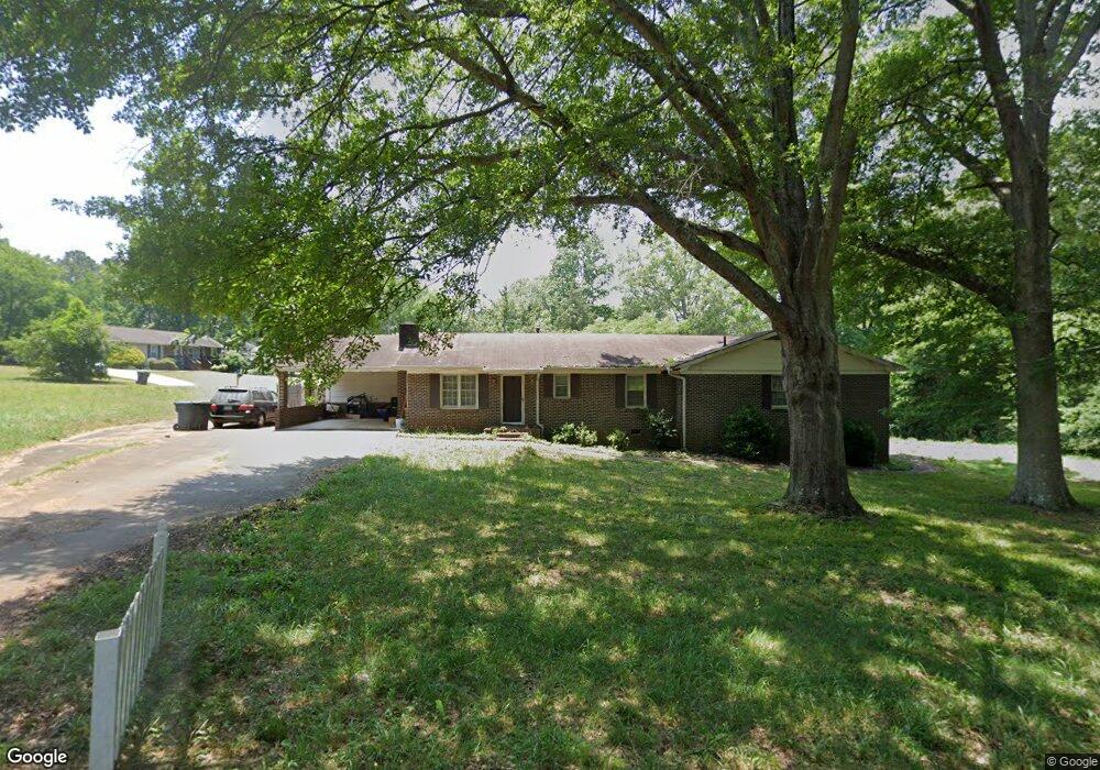
201 Winchester Dr Eatonton, GA 31024
Estimated Value: $217,000 - $399,000
--
Bed
2
Baths
2,407
Sq Ft
$121/Sq Ft
Est. Value
About This Home
This home is located at 201 Winchester Dr, Eatonton, GA 31024 and is currently estimated at $291,940, approximately $121 per square foot. 201 Winchester Dr is a home located in Putnam County with nearby schools including Putnam County Primary School, Putnam County Elementary School, and Putnam County Middle School.
Ownership History
Date
Name
Owned For
Owner Type
Purchase Details
Closed on
Sep 26, 2001
Sold by
Wilson James G
Bought by
Patel Ghanshyam S
Current Estimated Value
Purchase Details
Closed on
Aug 28, 2000
Sold by
Mason Randy
Bought by
Wilson James G
Purchase Details
Closed on
Jan 21, 1981
Sold by
Rice William A
Bought by
Mason Randy
Purchase Details
Closed on
Jul 14, 1979
Sold by
First National Bank
Bought by
Rice William A
Purchase Details
Closed on
Dec 30, 1970
Bought by
First National Bank
Create a Home Valuation Report for This Property
The Home Valuation Report is an in-depth analysis detailing your home's value as well as a comparison with similar homes in the area
Home Values in the Area
Average Home Value in this Area
Purchase History
| Date | Buyer | Sale Price | Title Company |
|---|---|---|---|
| Patel Ghanshyam S | $107,500 | -- | |
| Wilson James G | $98,500 | -- | |
| Mason Randy | $3,800 | -- | |
| Rice William A | $5,300 | -- | |
| First National Bank | -- | -- |
Source: Public Records
Tax History Compared to Growth
Tax History
| Year | Tax Paid | Tax Assessment Tax Assessment Total Assessment is a certain percentage of the fair market value that is determined by local assessors to be the total taxable value of land and additions on the property. | Land | Improvement |
|---|---|---|---|---|
| 2024 | $2,117 | $79,336 | $6,600 | $72,736 |
| 2023 | $2,117 | $72,796 | $6,600 | $66,196 |
| 2022 | $1,693 | $54,220 | $6,600 | $47,620 |
| 2021 | $1,768 | $54,529 | $7,744 | $46,785 |
| 2020 | $2,154 | $63,691 | $8,448 | $55,243 |
| 2019 | $2,146 | $50,527 | $8,448 | $42,079 |
| 2018 | $1,748 | $50,527 | $8,448 | $42,079 |
| 2017 | $1,648 | $50,527 | $8,448 | $42,079 |
| 2016 | $1,649 | $50,527 | $8,448 | $42,079 |
| 2015 | $1,509 | $50,527 | $8,448 | $42,079 |
| 2014 | $1,506 | $50,527 | $8,448 | $42,079 |
Source: Public Records
Map
Nearby Homes
- 101 Winchester Dr
- 205 Winchester Dr
- 106 Brookwood Dr
- 104 Winchester Dr
- 106 Winchester Dr
- 204 Winchester Dr
- 102 Brookwood Dr
- 108 Brookwood Dr
- 107 Brookwood Dr
- 206 Winchester Dr
- 209 Winchester Dr
- 307 Carriage Way
- 312 Grove St
- 314 Grove St
- 208 Winchester Dr
- 113 Brookwood Dr
- 309 Carriage Way
- 305 Carriage Way
- 114 Brookwood Dr
- 109 Brookwood Ct