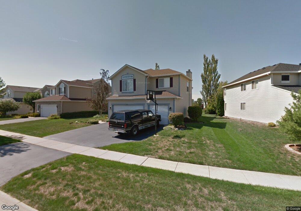
201 Wright Dr Lake In the Hills, IL 60156
Estimated Value: $455,000 - $493,083
--
Bed
--
Bath
2,743
Sq Ft
$171/Sq Ft
Est. Value
About This Home
This home is located at 201 Wright Dr, Lake In the Hills, IL 60156 and is currently estimated at $468,021, approximately $170 per square foot. 201 Wright Dr is a home located in McHenry County with nearby schools including Martin Elementary School, Chesak Elementary School, and Marlowe Middle School.
Ownership History
Date
Name
Owned For
Owner Type
Purchase Details
Closed on
Oct 13, 2020
Sold by
Sullivan Martin K and Sullivan Vicki L
Bought by
Sullivan Martin K and Sullivan Vicki L
Current Estimated Value
Purchase Details
Closed on
Sep 27, 1996
Sold by
Pinnacle Corp
Bought by
Sullivan Martin K and Sullivan Vicki L
Home Financials for this Owner
Home Financials are based on the most recent Mortgage that was taken out on this home.
Original Mortgage
$196,000
Outstanding Balance
$16,078
Interest Rate
6.87%
Estimated Equity
$451,943
Create a Home Valuation Report for This Property
The Home Valuation Report is an in-depth analysis detailing your home's value as well as a comparison with similar homes in the area
Home Values in the Area
Average Home Value in this Area
Purchase History
| Date | Buyer | Sale Price | Title Company |
|---|---|---|---|
| Sullivan Martin K | -- | None Available | |
| Sullivan Martin K | $231,000 | Chicago Title Insurance Co |
Source: Public Records
Mortgage History
| Date | Status | Borrower | Loan Amount |
|---|---|---|---|
| Open | Sullivan Martin K | $196,000 |
Source: Public Records
Tax History Compared to Growth
Tax History
| Year | Tax Paid | Tax Assessment Tax Assessment Total Assessment is a certain percentage of the fair market value that is determined by local assessors to be the total taxable value of land and additions on the property. | Land | Improvement |
|---|---|---|---|---|
| 2024 | $8,097 | $125,819 | $6,989 | $118,830 |
| 2023 | $7,814 | $113,024 | $6,278 | $106,746 |
| 2022 | $7,699 | $102,918 | $5,717 | $97,201 |
| 2021 | $7,864 | $96,928 | $5,384 | $91,544 |
| 2020 | $7,756 | $94,343 | $5,240 | $89,103 |
| 2019 | $7,569 | $91,934 | $5,106 | $86,828 |
| 2018 | $7,268 | $86,868 | $5,747 | $81,121 |
| 2017 | $7,128 | $81,866 | $5,416 | $76,450 |
| 2016 | $7,192 | $77,834 | $5,149 | $72,685 |
| 2013 | -- | $72,138 | $13,092 | $59,046 |
Source: Public Records
Map
Nearby Homes
- 131 S Annandale Dr
- 390 Windermere Way
- 9105 Algonquin Rd
- 870 Noelle Bend
- 10117 Dunhill Dr
- 6 Sugar Maple Ct
- 10828 Braemar Pkwy
- 4535 Heron Dr
- 11290 Wildridge Ln
- 11291 Wildridge Ln
- 11300 Wildridge Ln
- 9946 Edgebrook Ln
- 9956 Edgebrook Ln
- 9966 Edgebrook Ln
- 11310 Wildridge Ln
- 9976 Edgebrook Ln
- 10967 Braemar Pkwy
- 11320 Wildridge Ln
- 9927 Edgebrook Ln
- 9937 Edgebrook Ln