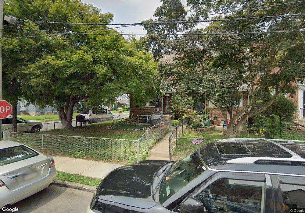
201 Wynnewood Ave Lansdowne, PA 19050
Estimated Value: $170,534 - $189,000
3
Beds
1
Bath
1,152
Sq Ft
$155/Sq Ft
Est. Value
About This Home
This home is located at 201 Wynnewood Ave, Lansdowne, PA 19050 and is currently estimated at $178,884, approximately $155 per square foot. 201 Wynnewood Ave is a home located in Delaware County with nearby schools including Charles Kelly El School, Upper Darby High School, and Vision Academy Charter School.
Ownership History
Date
Name
Owned For
Owner Type
Purchase Details
Closed on
Mar 2, 2001
Sold by
Brennan John and Brennan Mary Margaret
Bought by
Sloan Moore Cheri
Current Estimated Value
Home Financials for this Owner
Home Financials are based on the most recent Mortgage that was taken out on this home.
Original Mortgage
$65,416
Outstanding Balance
$24,051
Interest Rate
7.15%
Mortgage Type
FHA
Estimated Equity
$154,833
Create a Home Valuation Report for This Property
The Home Valuation Report is an in-depth analysis detailing your home's value as well as a comparison with similar homes in the area
Home Values in the Area
Average Home Value in this Area
Purchase History
| Date | Buyer | Sale Price | Title Company |
|---|---|---|---|
| Sloan Moore Cheri | $67,000 | Fidelity National Title Ins |
Source: Public Records
Mortgage History
| Date | Status | Borrower | Loan Amount |
|---|---|---|---|
| Open | Sloan Moore Cheri | $65,416 |
Source: Public Records
Tax History Compared to Growth
Tax History
| Year | Tax Paid | Tax Assessment Tax Assessment Total Assessment is a certain percentage of the fair market value that is determined by local assessors to be the total taxable value of land and additions on the property. | Land | Improvement |
|---|---|---|---|---|
| 2025 | $3,451 | $81,610 | $14,310 | $67,300 |
| 2024 | $3,451 | $81,610 | $14,310 | $67,300 |
| 2023 | $3,419 | $81,610 | $14,310 | $67,300 |
| 2022 | $3,327 | $81,610 | $14,310 | $67,300 |
| 2021 | $4,486 | $81,610 | $14,310 | $67,300 |
| 2020 | $3,904 | $60,360 | $17,900 | $42,460 |
| 2019 | $3,836 | $60,360 | $17,900 | $42,460 |
| 2018 | $3,792 | $60,360 | $0 | $0 |
| 2017 | $3,693 | $60,360 | $0 | $0 |
| 2016 | $331 | $60,360 | $0 | $0 |
| 2015 | $338 | $60,360 | $0 | $0 |
| 2014 | $331 | $60,360 | $0 | $0 |
Source: Public Records
Map
Nearby Homes
- 230 Wynnewood Ave
- 209 E Greenwood Ave
- 226 E Greenwood Ave
- 315 E Essex Ave
- 317 E Essex Ave
- 319 E Essex Ave
- 178 N Union Ave
- 75 E Stewart Ave
- 164 Woodland Ave
- 209 Wabash Ave
- 239 N Maple Ave
- 37 E Stratford Ave
- 608 Pembroke Ave
- 88 E Essex Ave
- 32 N Wycombe Ave
- 7229 Clinton Rd
- 291 N Wycombe Ave
- 243 Coverly Rd
- 7216 Clinton Rd
- 7247 Guilford Rd
- 211 Wynnewood Ave
- 209 Wynnewood Ave
- 207 Wynnewood Ave
- 219 Wynnewood Ave
- 214 Wynnewood Ave
- 212 E Greenwood Ave
- 200 E Greenwood Ave
- 202 E Greenwood Ave
- 204 E Greenwood Ave
- 144 E Greenwood Ave
- 242 E Greenwood Ave
- 240 E Greenwood Ave
- 238 E Greenwood Ave
- 236 E Greenwood Ave
- 210 E Greenwood Ave
- 208 E Greenwood Ave
- 206 E Greenwood Ave
- 214 E Greenwood Ave
- 112 N Union Ave
- 236 Wynnewood Ave