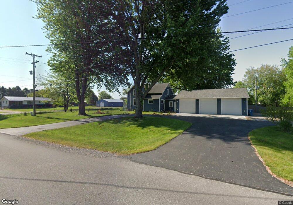
2010 11 Mile Rd Auburn, MI 48611
Estimated Value: $206,000 - $281,000
--
Bed
--
Bath
1,434
Sq Ft
$177/Sq Ft
Est. Value
About This Home
This home is located at 2010 11 Mile Rd, Auburn, MI 48611 and is currently estimated at $253,586, approximately $176 per square foot. 2010 11 Mile Rd is a home located in Bay County with nearby schools including Auburn Elementary School, Western Middle School, and Bay City Western High School.
Ownership History
Date
Name
Owned For
Owner Type
Purchase Details
Closed on
Feb 25, 2025
Sold by
Fair Jerry M and Bishop Michael D
Bought by
Fair Jerry M and Bishop Michael D
Current Estimated Value
Purchase Details
Closed on
Aug 10, 2022
Sold by
Meylan Family Trust
Bought by
Bishop Michael D and Fair Jerry M
Home Financials for this Owner
Home Financials are based on the most recent Mortgage that was taken out on this home.
Original Mortgage
$90,000
Interest Rate
5.51%
Mortgage Type
New Conventional
Purchase Details
Closed on
Jan 27, 2020
Sold by
Meylan Derrill Robert and Meylan Christine Anne
Bought by
Meylan Derrill Robert and Meylan Christine Anne
Purchase Details
Closed on
Aug 15, 1989
Sold by
Blank Gary L and Blank Debra J
Bought by
Meylan Derril R and Meylan Christine A
Create a Home Valuation Report for This Property
The Home Valuation Report is an in-depth analysis detailing your home's value as well as a comparison with similar homes in the area
Home Values in the Area
Average Home Value in this Area
Purchase History
| Date | Buyer | Sale Price | Title Company |
|---|---|---|---|
| Fair Jerry M | -- | None Listed On Document | |
| Bishop Michael D | $225,000 | -- | |
| Meylan Derrill Robert | -- | None Available | |
| Meylan Derril R | $36,900 | -- |
Source: Public Records
Mortgage History
| Date | Status | Borrower | Loan Amount |
|---|---|---|---|
| Previous Owner | Bishop Michael D | $90,000 |
Source: Public Records
Tax History Compared to Growth
Tax History
| Year | Tax Paid | Tax Assessment Tax Assessment Total Assessment is a certain percentage of the fair market value that is determined by local assessors to be the total taxable value of land and additions on the property. | Land | Improvement |
|---|---|---|---|---|
| 2025 | $1,592 | $82,900 | $0 | $0 |
| 2024 | $1,592 | $73,200 | $0 | $0 |
| 2023 | $1,515 | $69,700 | $0 | $0 |
| 2022 | $1,611 | $65,300 | $0 | $0 |
| 2021 | $1,508 | $61,000 | $61,000 | $0 |
| 2020 | $1,485 | $58,600 | $58,600 | $0 |
| 2019 | $1,405 | $54,250 | $0 | $0 |
| 2018 | $1,373 | $48,200 | $0 | $0 |
| 2017 | $1,273 | $46,600 | $0 | $0 |
| 2016 | $1,262 | $40,550 | $0 | $40,550 |
| 2015 | -- | $37,650 | $0 | $37,650 |
| 2014 | -- | $41,150 | $0 | $41,150 |
Source: Public Records
Map
Nearby Homes
- 2010 Eleven Mile
- 2041 S Carter Rd
- 2515 S 11 Mile Rd
- 2192 S Garfield Rd
- 0 S 11 Mile Rd
- 4949 S Garfield Rd
- 3175 S Carter Rd
- 0 W Beaver Rd
- 1826 8 Mile Rd
- 2387 8 Mile Rd Unit 25
- 2397 8 Mile Rd Unit 22
- 2391 8 Mile Rd Unit 24
- 2407 8 Mile Rd Unit 19
- 2398 Pajot Rd Unit 49
- 50 Schmidt Rd
- 2470 Pajot Rd Unit 34
- 2409 Pajot Rd Unit 76
- 2418 Pajot Rd Unit 44
- 1428 S 8 Mile Rd
- 2749 8 Mile Rd
- 2034 11 Mile Rd
- 2011 11 Mile Rd
- 2036 11 Mile Rd
- 2039 11 Mile Rd
- 2044 11 Mile Rd
- 2440 Seidler Rd
- 1967 11 Mile Rd
- 1481 Seidlers Rd
- 1462 Seidlers Rd
- 1462 Seidlers Rd
- 1462 Siedlers
- 1952 11 Mile Rd
- 1949 11 Mile Rd
- 1933 11 Mile Rd
- 1412 Seidlers Rd
- 1933 S Eleven Mile
- 1402 Seidlers Rd
- 1929 11 Mile Rd
- 2112 11 Mile Rd
- 2119 11 Mile Rd