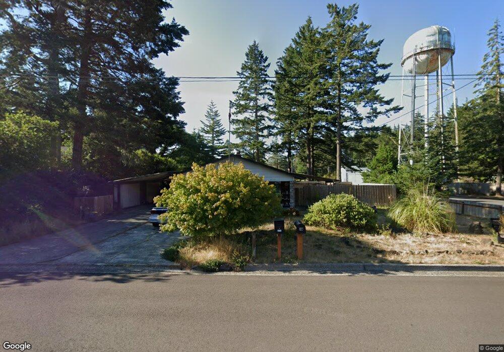
2010 11th St Florence, OR 97439
Estimated Value: $360,000 - $437,000
2
Beds
2
Baths
1,245
Sq Ft
$308/Sq Ft
Est. Value
About This Home
This home is located at 2010 11th St, Florence, OR 97439 and is currently estimated at $383,969, approximately $308 per square foot. 2010 11th St is a home located in Lane County with nearby schools including Siuslaw Elementary School, Siuslaw Middle School, and Siuslaw High School.
Ownership History
Date
Name
Owned For
Owner Type
Purchase Details
Closed on
Feb 1, 2016
Sold by
Kinkade Michael R and Kinkade Kathleen M
Bought by
Gratreaks Rodney R
Current Estimated Value
Home Financials for this Owner
Home Financials are based on the most recent Mortgage that was taken out on this home.
Original Mortgage
$130,500
Outstanding Balance
$103,409
Interest Rate
3.93%
Mortgage Type
New Conventional
Estimated Equity
$280,560
Purchase Details
Closed on
Jan 16, 2013
Sold by
Petty Merlin and Petty Pauline
Bought by
Kinkade Michael R and Kinkade Kathleen M
Home Financials for this Owner
Home Financials are based on the most recent Mortgage that was taken out on this home.
Original Mortgage
$142,755
Interest Rate
3.31%
Mortgage Type
New Conventional
Create a Home Valuation Report for This Property
The Home Valuation Report is an in-depth analysis detailing your home's value as well as a comparison with similar homes in the area
Home Values in the Area
Average Home Value in this Area
Purchase History
| Date | Buyer | Sale Price | Title Company |
|---|---|---|---|
| Gratreaks Rodney R | $174,000 | Cascade Title Co | |
| Kinkade Michael R | $139,900 | First American Title |
Source: Public Records
Mortgage History
| Date | Status | Borrower | Loan Amount |
|---|---|---|---|
| Open | Gratreaks Rodney R | $130,500 | |
| Previous Owner | Kinkade Michael R | $142,755 |
Source: Public Records
Tax History Compared to Growth
Tax History
| Year | Tax Paid | Tax Assessment Tax Assessment Total Assessment is a certain percentage of the fair market value that is determined by local assessors to be the total taxable value of land and additions on the property. | Land | Improvement |
|---|---|---|---|---|
| 2025 | $2,706 | $198,291 | -- | -- |
| 2024 | $2,627 | $192,516 | -- | -- |
| 2023 | $2,627 | $186,909 | $0 | $0 |
| 2022 | $2,451 | $181,466 | $0 | $0 |
| 2021 | $2,401 | $176,181 | $0 | $0 |
| 2020 | $2,338 | $171,050 | $0 | $0 |
| 2019 | $2,250 | $166,068 | $0 | $0 |
| 2018 | $2,255 | $156,536 | $0 | $0 |
| 2017 | $2,175 | $156,536 | $0 | $0 |
| 2016 | $2,113 | $151,977 | $0 | $0 |
| 2015 | $2,068 | $147,550 | $0 | $0 |
| 2014 | $2,046 | $143,252 | $0 | $0 |
Source: Public Records
Map
Nearby Homes
- 2040 11th St
- 200 11th St
- 2155 9th St
- 2222 11th St
- 2184 13th St
- 0 Unit 749399969
- 0 Tamarack St
- 1088 Nopal St
- 2105 16th St
- 1640 17th St
- 1260 10th St Unit 23
- 1260 10th St Unit 11
- 1868 Tamarack St
- 2045 19th St
- 1425 Zebrawood St
- 1925 Upas St
- 0 Maple St Unit 24040688
- 0 Maple St Unit 7600 24079224
- 289 Harbor St
- 1633 Maple St