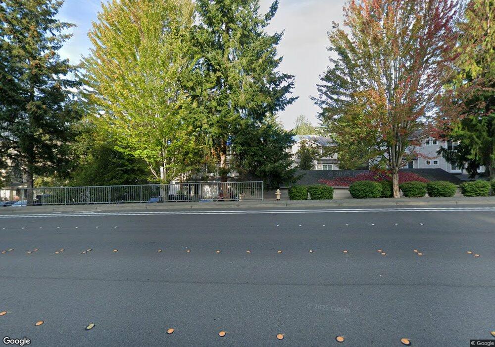
2010 132nd Ave SE Unit 110 Bellevue, WA 98005
Woodridge NeighborhoodEstimated Value: $690,763 - $761,000
2
Beds
3
Baths
1,192
Sq Ft
$606/Sq Ft
Est. Value
About This Home
This home is located at 2010 132nd Ave SE Unit 110, Bellevue, WA 98005 and is currently estimated at $722,941, approximately $606 per square foot. 2010 132nd Ave SE Unit 110 is a home located in King County with nearby schools including Woodridge Elementary School, Chinook Middle School, and Bellevue High School.
Ownership History
Date
Name
Owned For
Owner Type
Purchase Details
Closed on
Dec 3, 2002
Sold by
Kiani Kamiar
Bought by
Pesin Michael and Pesin Kate
Current Estimated Value
Purchase Details
Closed on
Aug 2, 1996
Sold by
Richard Road Lp
Bought by
Kiani Kamiar
Home Financials for this Owner
Home Financials are based on the most recent Mortgage that was taken out on this home.
Original Mortgage
$139,650
Interest Rate
8.32%
Create a Home Valuation Report for This Property
The Home Valuation Report is an in-depth analysis detailing your home's value as well as a comparison with similar homes in the area
Home Values in the Area
Average Home Value in this Area
Purchase History
| Date | Buyer | Sale Price | Title Company |
|---|---|---|---|
| Pesin Michael | $209,000 | Chicago Title | |
| Kiani Kamiar | $147,000 | Chicago Title Insurance Co |
Source: Public Records
Mortgage History
| Date | Status | Borrower | Loan Amount |
|---|---|---|---|
| Previous Owner | Kiani Kamiar | $139,650 |
Source: Public Records
Tax History Compared to Growth
Tax History
| Year | Tax Paid | Tax Assessment Tax Assessment Total Assessment is a certain percentage of the fair market value that is determined by local assessors to be the total taxable value of land and additions on the property. | Land | Improvement |
|---|---|---|---|---|
| 2024 | $4,613 | $627,000 | $58,500 | $568,500 |
| 2023 | $4,614 | $706,000 | $58,500 | $647,500 |
| 2022 | $4,429 | $650,000 | $58,500 | $591,500 |
| 2021 | $4,653 | $538,000 | $58,500 | $479,500 |
| 2020 | $4,466 | $524,000 | $58,500 | $465,500 |
| 2018 | $3,746 | $477,000 | $55,600 | $421,400 |
| 2017 | $3,274 | $406,000 | $53,200 | $352,800 |
| 2016 | $3,034 | $374,000 | $50,800 | $323,200 |
| 2015 | $2,825 | $344,000 | $47,200 | $296,800 |
| 2014 | -- | $317,000 | $38,700 | $278,300 |
| 2013 | -- | $235,000 | $33,900 | $201,100 |
Source: Public Records
Map
Nearby Homes
- 1900 132nd Ave SE Unit 23
- Plan A at Richards Ridge
- 2060 132nd Ave SE Unit G601
- 1709 134th Ave SE Unit 3
- 2220 132nd Ave SE Unit A 308
- 12935 SE 23rd St
- 2205 135th Place SE
- 1809 136th Place SE
- 2423 129th Ave SE
- 1803 126th Ave SE
- 2230 137th Place SE
- 12514 SE 16th St
- 2032 123rd Ave SE
- 803 140th Ave SE
- 13726 SE 24th St
- 13948 Lake Hills Connector
- 12455 SE 26th Place
- 2680 139th Ave SE Unit 115
- 12115 SE 22nd St
- 2457 Kamber Rd
- 2010 132nd Ave SE Unit 108
- 2010 132nd Ave SE Unit 112
- 2010 132nd Ave SE Unit A105
- 2010 132nd Ave SE Unit 102
- 2010 132nd Ave SE Unit A103
- 2010 132nd Ave SE Unit 104
- 2010 132nd Ave SE Unit 101
- 2020 132nd Ave SE Unit 204
- 2020 132nd Ave SE Unit 202
- 2020 132nd Ave SE Unit 208
- 2020 132nd Ave SE Unit 212
- 2020 132nd Ave SE Unit 210
- 2010 132nd Se #108 Ave SE
- 2004 132nd Ave SE
- 2004 132nd Ave SE Unit M68
- 2004 132nd Ave SE Unit H903
- 2004 132nd Ave SE Unit M63
- 2004 132nd Ave SE Unit H908
- 2004 132nd Ave SE Unit A103
- 2004 132nd Ave SE Unit H902
