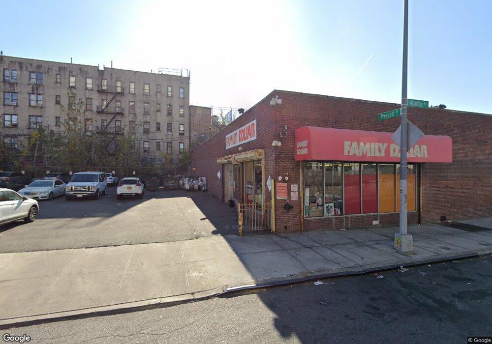
2010-2020 Atlantic Ave Brooklyn, NY 11233
Crown Heights NeighborhoodEstimated Value: $5,623,806
--
Bed
--
Bath
16,140
Sq Ft
$348/Sq Ft
Est. Value
About This Home
This home is located at 2010-2020 Atlantic Ave, Brooklyn, NY 11233 and is currently estimated at $5,623,806, approximately $348 per square foot. 2010-2020 Atlantic Ave is a home located in Kings County with nearby schools including Ocean Hill Collegiate Charter School.
Ownership History
Date
Name
Owned For
Owner Type
Purchase Details
Closed on
Mar 1, 2016
Sold by
2020 Atlantic Llc
Bought by
2020 Atlantic Llc
Current Estimated Value
Purchase Details
Closed on
Jan 9, 2006
Sold by
Bermuda Realty Llc
Bought by
2020 Atlantic Llc
Home Financials for this Owner
Home Financials are based on the most recent Mortgage that was taken out on this home.
Original Mortgage
$100,000
Interest Rate
6.33%
Mortgage Type
Commercial
Purchase Details
Closed on
Jun 16, 1998
Sold by
President Realty Llc
Bought by
Bermuda Realty Llc
Create a Home Valuation Report for This Property
The Home Valuation Report is an in-depth analysis detailing your home's value as well as a comparison with similar homes in the area
Home Values in the Area
Average Home Value in this Area
Purchase History
| Date | Buyer | Sale Price | Title Company |
|---|---|---|---|
| 2020 Atlantic Llc | -- | -- | |
| 2020 Atlantic Llc | -- | -- | |
| 2020 Atlantic Llc | $2,900,000 | -- | |
| 2020 Atlantic Llc | $2,900,000 | -- | |
| Bermuda Realty Llc | $270,000 | Stewart Title Insurance Co | |
| President Realty Llc | -- | Stewart Title Insurance Co | |
| Bermuda Realty Llc | $270,000 | Stewart Title Insurance Co |
Source: Public Records
Mortgage History
| Date | Status | Borrower | Loan Amount |
|---|---|---|---|
| Previous Owner | 2020 Atlantic Llc | $1,000,000 | |
| Previous Owner | 2020 Atlantic Llc | $100,000 |
Source: Public Records
Tax History Compared to Growth
Tax History
| Year | Tax Paid | Tax Assessment Tax Assessment Total Assessment is a certain percentage of the fair market value that is determined by local assessors to be the total taxable value of land and additions on the property. | Land | Improvement |
|---|---|---|---|---|
| 2025 | $102,888 | $1,671,300 | $307,800 | $1,363,500 |
| 2024 | $102,888 | $1,640,250 | $307,800 | $1,332,450 |
| 2023 | $83,078 | $1,169,100 | $307,800 | $861,300 |
| 2022 | $71,926 | $1,161,000 | $307,800 | $853,200 |
| 2021 | $41,348 | $674,100 | $307,800 | $366,300 |
| 2020 | $27,305 | $931,050 | $307,800 | $623,250 |
| 2019 | $42,189 | $924,750 | $307,800 | $616,950 |
| 2018 | $32,362 | $860,400 | $307,800 | $552,600 |
| 2017 | $32,362 | $772,650 | $307,800 | $464,850 |
| 2016 | $31,890 | $704,250 | $307,800 | $396,450 |
| 2015 | $12,179 | $525,600 | $307,800 | $217,800 |
| 2014 | $12,179 | $480,150 | $307,800 | $172,350 |
Source: Public Records
Map
Nearby Homes
- 328 Ralph Ave
- 324 Ralph Ave
- 926 Herkimer St
- 12 Columbus Place
- 924 Herkimer St
- 1905 A Atlantic Ave Unit A
- 1935 Fulton St
- 1941 Fulton St
- 52 Buffalo Ave
- 2046 Pacific St
- 1419 Saint Marks Ave
- 848 Herkimer St
- 84 Macdougal St Unit 2
- 84 Macdougal St Unit 1
- 1387 Saint Marks Ave
- 254A Saratoga Ave
- 1907 Pacific St
- 2108 Dean St
- 1377 Saint Marks Ave
- 235 Marion St
- 2023 Pacific St
- 1815 St Johns Place Unit HOUSE
- 243 St James Place Unit 3
- 1815 St Johns Place
- 679-685 Mac Donough St
- 2027 Pacific St
- 2020 Atlantic Ave
- 1998 Atlantic Ave
- 1911 Atlantic Ave
- 365 Ralph Ave
- 1911A Atlantic Ave
- 1909 Atlantic Ave
- 1913 Atlantic Ave
- 1907 Atlantic Ave
- 1915 Atlantic Ave
- 1915A Atlantic Ave
- 1905A Atlantic Ave Unit A
- 1905A Atlantic Ave
- 1917 Atlantic Ave
- 1905 Atlantic Ave