2010 81st St Unit A Balsam Lake, WI 54810
Estimated Value: $473,000 - $518,000
3
Beds
2
Baths
1,992
Sq Ft
$251/Sq Ft
Est. Value
About This Home
This home is located at 2010 81st St Unit A, Balsam Lake, WI 54810 and is currently estimated at $499,155, approximately $250 per square foot. 2010 81st St Unit A is a home located in Polk County with nearby schools including Unity Elementary School, Unity Middle School, and Unity High School.
Ownership History
Date
Name
Owned For
Owner Type
Purchase Details
Closed on
Mar 16, 2021
Sold by
Carey Christopher and Carey Heather
Bought by
Fraley Jesse and Fraley Crystal
Current Estimated Value
Home Financials for this Owner
Home Financials are based on the most recent Mortgage that was taken out on this home.
Original Mortgage
$280,000
Interest Rate
3.1%
Mortgage Type
New Conventional
Purchase Details
Closed on
Jun 28, 2018
Sold by
Peterson Bruce E and Anderson Susan K
Bought by
Carey Christopher and Carey Heather
Home Financials for this Owner
Home Financials are based on the most recent Mortgage that was taken out on this home.
Original Mortgage
$220,000
Interest Rate
4.6%
Mortgage Type
New Conventional
Purchase Details
Closed on
Aug 27, 2008
Sold by
Anderson Susan K
Bought by
Anderson Susan K
Create a Home Valuation Report for This Property
The Home Valuation Report is an in-depth analysis detailing your home's value as well as a comparison with similar homes in the area
Home Values in the Area
Average Home Value in this Area
Purchase History
| Date | Buyer | Sale Price | Title Company |
|---|---|---|---|
| Fraley Jesse | $350,000 | None Available | |
| Carey Christopher | $275,000 | Burnet Title | |
| Anderson Susan K | $383,100 | -- |
Source: Public Records
Mortgage History
| Date | Status | Borrower | Loan Amount |
|---|---|---|---|
| Previous Owner | Fraley Jesse | $280,000 | |
| Previous Owner | Carey Christopher | $220,000 | |
| Closed | Anderson Susan K | $0 |
Source: Public Records
Tax History Compared to Growth
Tax History
| Year | Tax Paid | Tax Assessment Tax Assessment Total Assessment is a certain percentage of the fair market value that is determined by local assessors to be the total taxable value of land and additions on the property. | Land | Improvement |
|---|---|---|---|---|
| 2024 | $4,069 | $486,500 | $187,200 | $299,300 |
| 2023 | $3,622 | $339,300 | $150,500 | $188,800 |
| 2022 | $5,203 | $339,300 | $150,500 | $188,800 |
| 2021 | $4,865 | $296,500 | $121,300 | $175,200 |
| 2020 | $4,630 | $296,500 | $121,300 | $175,200 |
| 2019 | $4,602 | $296,500 | $121,300 | $175,200 |
| 2018 | $5,439 | $296,500 | $121,300 | $175,200 |
| 2017 | $4,614 | $296,500 | $121,300 | $175,200 |
| 2016 | $4,769 | $296,500 | $121,300 | $175,200 |
| 2015 | $4,761 | $296,500 | $121,300 | $175,200 |
| 2013 | $5,008 | $318,900 | $121,300 | $197,600 |
| 2012 | $5,062 | $318,900 | $121,300 | $197,600 |
Source: Public Records
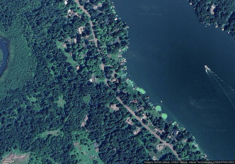
Map
Nearby Homes
- 2029 Richardson Ct
- XXX 74th St
- Xxx 74th St
- 1794 W White Ash Dr
- 1766 W White Ash Dr
- 1766 A W White Ash Dr
- 1911 W Bone Lake Dr
- 602 E Round Lake Ave
- 2282 71st St
- 1728 W White Ash Dr
- 1722 W White Ash Dr
- 1737 E White Ash Ln
- 2273 Woodland Shores Unit A
- 2368 109th St
- 1276 County Road G
- 1605 S White Ash Ln
- TBD Dau Rd
- 1082 240th Ave
- 16.43 Acres Antler Lake Dr
- 2225 Antler Lake Ct
- 2028 81st St
- 2066 81st St
- 2032 81st St
- 2032 81st St Unit A
- Lot 13 Baker Rd
- 2012 S Baker Rd Unit A
- 2012 S Baker Rd
- 2012 S Baker Rd Unit A
- 2014 S Baker Rd
- 2016 S Baker Rd
- 2033 81st St
- 2008 S Baker Rd
- 2026 81st St
- Lot 11 Baker Rd
- 2011 S Baker Rd
- 2013 S Baker Rd
- 2013 S Baker Rd
- 2006 S Baker Rd
- 2025 81st St
- Lot 8 Baker Rd