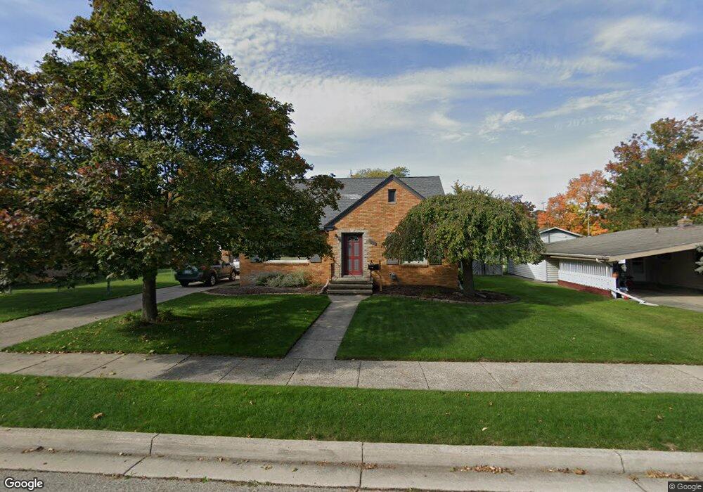
2010 Berkshire Dr Lansing, MI 48910
Colonial Village NeighborhoodEstimated Value: $164,750 - $200,000
--
Bed
--
Bath
1,112
Sq Ft
$167/Sq Ft
Est. Value
About This Home
This home is located at 2010 Berkshire Dr, Lansing, MI 48910 and is currently estimated at $185,688, approximately $166 per square foot. 2010 Berkshire Dr is a home located in Ingham County with nearby schools including Averill Elementary School, Attwood School, and J.W. Sexton High School.
Ownership History
Date
Name
Owned For
Owner Type
Purchase Details
Closed on
Oct 21, 2008
Sold by
Robert Marcia L and Rademacher Marcia L
Bought by
Rademacher Robert E
Current Estimated Value
Purchase Details
Closed on
Apr 9, 2004
Sold by
Rademacher Robert E and Rademacher Marcia L
Bought by
Rademacher Robert E and Rademacher Marcia L
Create a Home Valuation Report for This Property
The Home Valuation Report is an in-depth analysis detailing your home's value as well as a comparison with similar homes in the area
Home Values in the Area
Average Home Value in this Area
Purchase History
| Date | Buyer | Sale Price | Title Company |
|---|---|---|---|
| Rademacher Robert E | -- | None Available | |
| Rademacher Robert E | -- | -- |
Source: Public Records
Tax History Compared to Growth
Tax History
| Year | Tax Paid | Tax Assessment Tax Assessment Total Assessment is a certain percentage of the fair market value that is determined by local assessors to be the total taxable value of land and additions on the property. | Land | Improvement |
|---|---|---|---|---|
| 2025 | $3,237 | $83,000 | $10,200 | $72,800 |
| 2024 | $26 | $76,500 | $10,200 | $66,300 |
| 2023 | $3,035 | $69,400 | $10,200 | $59,200 |
| 2022 | $2,735 | $62,600 | $8,400 | $54,200 |
| 2021 | $2,678 | $58,300 | $6,500 | $51,800 |
| 2020 | $2,662 | $55,000 | $6,500 | $48,500 |
| 2019 | $2,552 | $49,800 | $6,500 | $43,300 |
| 2018 | $2,391 | $48,300 | $6,500 | $41,800 |
| 2017 | $2,289 | $48,300 | $6,500 | $41,800 |
| 2016 | $2,189 | $43,000 | $6,500 | $36,500 |
| 2015 | $2,189 | $39,900 | $12,909 | $26,991 |
| 2014 | $2,189 | $39,300 | $9,541 | $29,759 |
Source: Public Records
Map
Nearby Homes
- 1740 Wellington Rd Unit 103
- 2505 Hanover Dr
- 2200 Rossiter Place
- 2201 Pamela Place
- 1618 Loraine Ave
- 2812 Pleasant Grove Rd
- 1533 Cambridge Rd
- 1420 Poxson Ave
- 2409 Victor Ave
- 2039 Holly Way
- 2920 Pleasant Grove Rd Unit 1
- 1315 Goodrich St
- 1312 W Mount Hope Ave
- 1404 Kelsey Ave
- 2118 Marion Ave
- 3125 Boston Blvd
- 1607 Holly Way
- 2710 Bedford Rd
- 1309 Hammond St
- 1114 Goodrich St
- 2109 Belaire Dr
- 2100 Belmont Dr
- 2116 Belmont Dr
- 2117 Belaire Dr
- 2011 Berkshire Dr
- 2015 Pleasant Grove Rd
- 2001 Pleasant Grove Rd
- 2015 Berkshire Dr
- 2005 Berkshire Dr
- 2023 Berkshire Dr
- 2111 Belmont Dr
- 2001 Berkshire Dr
- 2110 Belaire Dr
- 2105 Belmont Dr
- 2104 Belaire Dr
- 2117 Belmont Dr
- 2116 Belaire Dr
- 2101 Pleasant Grove Rd
- 2101 Belmont Dr
- 2100 Belaire Dr