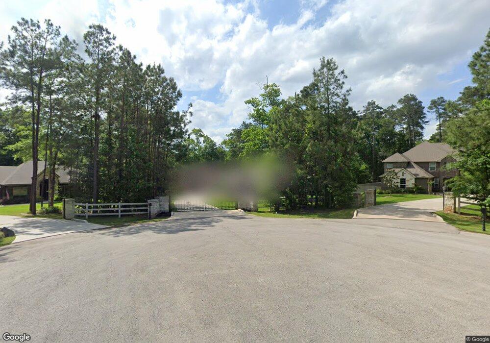
2010 Boulder Ridge Dr Conroe, TX 77304
Estimated Value: $565,000 - $865,000
4
Beds
4
Baths
3,125
Sq Ft
$232/Sq Ft
Est. Value
About This Home
This home is located at 2010 Boulder Ridge Dr, Conroe, TX 77304 and is currently estimated at $724,270, approximately $231 per square foot. 2010 Boulder Ridge Dr is a home located in Montgomery County with nearby schools including Eddie Ruth Lagway Elementary, Robert P. Brabham Middle School, and Willis High School.
Ownership History
Date
Name
Owned For
Owner Type
Purchase Details
Closed on
Aug 15, 2017
Sold by
Khbm Partners Ii Ltd
Bought by
Scates Mary and Scates Steven
Current Estimated Value
Home Financials for this Owner
Home Financials are based on the most recent Mortgage that was taken out on this home.
Original Mortgage
$376,000
Outstanding Balance
$312,992
Interest Rate
3.96%
Mortgage Type
New Conventional
Estimated Equity
$411,278
Purchase Details
Closed on
Apr 23, 2003
Sold by
Dominion Ridge Lp
Bought by
Khbm Partners Iii Ltd
Create a Home Valuation Report for This Property
The Home Valuation Report is an in-depth analysis detailing your home's value as well as a comparison with similar homes in the area
Home Values in the Area
Average Home Value in this Area
Purchase History
| Date | Buyer | Sale Price | Title Company |
|---|---|---|---|
| Scates Mary | -- | Great American Title | |
| Khbm Partners Iii Ltd | -- | -- |
Source: Public Records
Mortgage History
| Date | Status | Borrower | Loan Amount |
|---|---|---|---|
| Open | Scates Mary | $376,000 |
Source: Public Records
Tax History
| Year | Tax Paid | Tax Assessment Tax Assessment Total Assessment is a certain percentage of the fair market value that is determined by local assessors to be the total taxable value of land and additions on the property. | Land | Improvement |
|---|---|---|---|---|
| 2025 | $11,025 | $729,424 | -- | -- |
| 2024 | $9,709 | $663,113 | -- | -- |
| 2023 | $9,709 | $602,830 | $125,950 | $525,290 |
| 2022 | $11,585 | $548,030 | $116,510 | $501,840 |
| 2021 | $10,872 | $498,210 | $78,720 | $419,490 |
| 2020 | $11,017 | $474,540 | $78,720 | $395,820 |
| 2019 | $11,353 | $464,930 | $78,720 | $386,210 |
| 2018 | $9,455 | $431,110 | $78,720 | $352,390 |
| 2017 | $9,465 | $386,170 | $78,720 | $307,450 |
| 2016 | $733 | $29,910 | $29,910 | $0 |
| 2015 | $461 | $18,700 | $18,700 | $0 |
| 2014 | $461 | $18,700 | $18,700 | $0 |
Source: Public Records
Map
Nearby Homes
- Meridian Plan at Madeley Creek
- Hickory Plan at Madeley Creek
- Alder Plan at Madeley Creek
- Abilene Plan at Madeley Creek
- Quintera Plan at Madeley Creek
- Maxwell Plan at Madeley Creek
- 290 Apple Valley Dr
- 292 Apple Valley Dr
- 1713 Cayden Oak Ln
- 1770 Succotash Oak Ct
- 1662 Shae Oak Ln
- 143 Thunderbird Dr
- 306 Rolling Hills Dr
- 2007 Forest Stream Way
- 2011 Forest Stream Way
- 2027 Forest Stream Way
- 215 Deep Dale Ln
- 2031 Forest Stream Way
- 2035 Forest Stream Way
- 2039 Forest Stream Way
- 2008 Boulder Ridge Dr
- 2011 Boulder Ridge Dr
- 2006 Boulder Ridge Dr
- 2004 League Line Rd
- 2002 League Line Rd
- 2000 League Line Rd
- 2007 Boulder Ridge Dr
- 2004 Boulder Ridge Dr
- 1910 League Line Rd
- 2006 League Line Rd
- 1896 League Line Rd
- 1906 League Line Rd
- 2002 Boulder Ridge Dr
- 2005 Boulder Ridge Dr
- 1902 League Line Rd
- 1898 League Line Rd
- 2003 Boulder Ridge Dr
- 2008 Shasta Ridge Dr
- 2010 Shasta Ridge Dr
- 2006 Shasta Ridge Dr