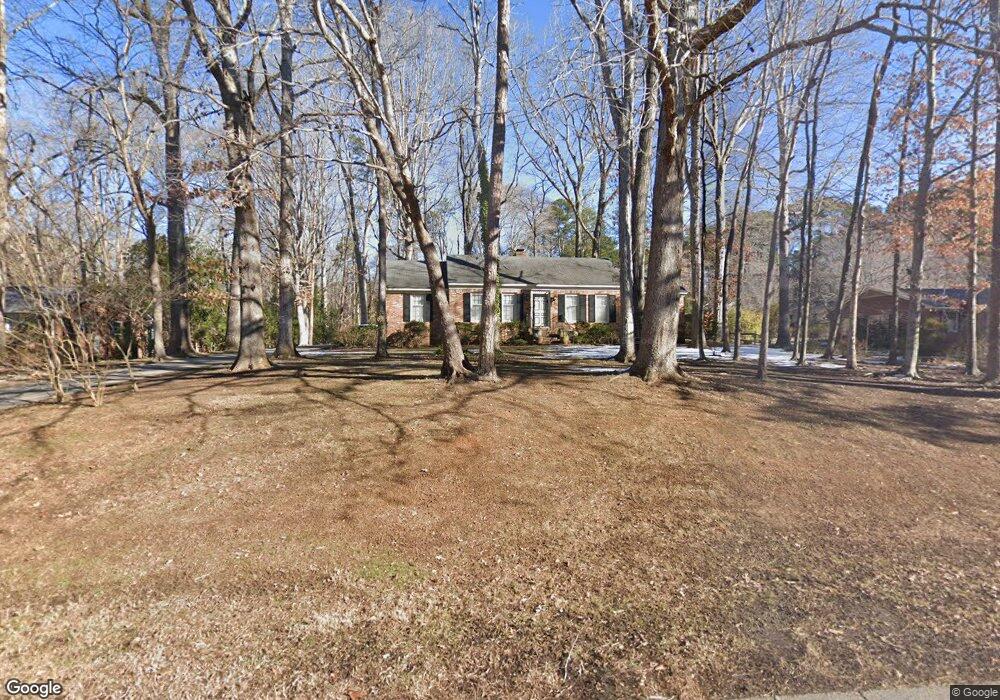
2010 Brookrun Rd Henderson, NC 27536
Estimated Value: $261,000 - $334,000
3
Beds
2
Baths
1,834
Sq Ft
$162/Sq Ft
Est. Value
About This Home
This home is located at 2010 Brookrun Rd, Henderson, NC 27536 and is currently estimated at $297,643, approximately $162 per square foot. 2010 Brookrun Rd is a home located in Vance County with nearby schools including E.M. Rollins Elementary School, Vance County High School, and Henderson Collegiate Public Charter School.
Ownership History
Date
Name
Owned For
Owner Type
Purchase Details
Closed on
Aug 30, 2017
Sold by
Creech Doris B
Bought by
Moses Tonya A and Hill Everett J
Current Estimated Value
Home Financials for this Owner
Home Financials are based on the most recent Mortgage that was taken out on this home.
Original Mortgage
$151,897
Outstanding Balance
$127,049
Interest Rate
3.96%
Mortgage Type
FHA
Estimated Equity
$170,594
Create a Home Valuation Report for This Property
The Home Valuation Report is an in-depth analysis detailing your home's value as well as a comparison with similar homes in the area
Purchase History
| Date | Buyer | Sale Price | Title Company |
|---|---|---|---|
| Moses Tonya A | $155,000 | None Available |
Source: Public Records
Mortgage History
| Date | Status | Borrower | Loan Amount |
|---|---|---|---|
| Open | Moses Tonya A | $151,897 |
Source: Public Records
Tax History
| Year | Tax Paid | Tax Assessment Tax Assessment Total Assessment is a certain percentage of the fair market value that is determined by local assessors to be the total taxable value of land and additions on the property. | Land | Improvement |
|---|---|---|---|---|
| 2025 | $3,003 | $209,600 | $26,000 | $183,600 |
| 2024 | $2,982 | $209,600 | $26,000 | $183,600 |
| 2023 | $2,219 | $128,008 | $24,975 | $103,033 |
| 2022 | $2,171 | $128,008 | $24,975 | $103,033 |
| 2021 | $2,051 | $128,008 | $24,975 | $103,033 |
| 2020 | $2,168 | $128,008 | $24,975 | $103,033 |
| 2019 | $2,163 | $128,008 | $24,975 | $103,033 |
| 2018 | $2,051 | $128,008 | $24,975 | $103,033 |
| 2017 | $2,156 | $128,008 | $24,975 | $103,033 |
| 2016 | $2,156 | $128,008 | $24,975 | $103,033 |
| 2015 | $2,043 | $142,910 | $49,950 | $92,960 |
| 2014 | $2,123 | $142,911 | $49,950 | $92,961 |
Source: Public Records
Map
Nearby Homes
- 126 White Oak Dr
- 00 Oxford Rd Southern Ave Rd
- 3070 Cameron Dr
- 131 White Oak Dr
- 206 Beechwood Trail
- 314 Willowood Dr
- 307 Yowland Rd
- 2064 Oxford Rd
- 222 Willowood Dr
- 1540 Cypress Dr
- 159 Dorsey Place
- Lot 5 Sidney Hill
- 328 White Oak Dr
- 105 Sunset Cir
- 419 Oak St
- 2535 Fairway Dr Unit 3
- 1408 Parker Ln
- 1612 Lynne Ave
- 1806 Waddill Way
- 1105 Dabney Dr
- 2012 Brookrun Rd
- 2105 N Woodland Rd
- 2008 Brookrun Rd
- 2011 Brookrun Rd
- 2007 Brookrun Rd
- 2015 Brookrun Rd
- 2106 N Woodland Rd
- 2104 N Woodland Rd
- 2005 Brookrun Rd
- 2110 N Woodland Rd
- 2100 N Woodland Rd
- 2114 N Woodland Rd
- 2040 Brookrun Rd
- 383 Bellwood Dr
- 2153 N Woodland Rd
- 2147 N Woodland Rd
- 385 Bellwood Dr
- 2219 N Woodland Rd
- 381 Bellwood Dr
- 2221 N Woodland Rd
Your Personal Tour Guide
Ask me questions while you tour the home.