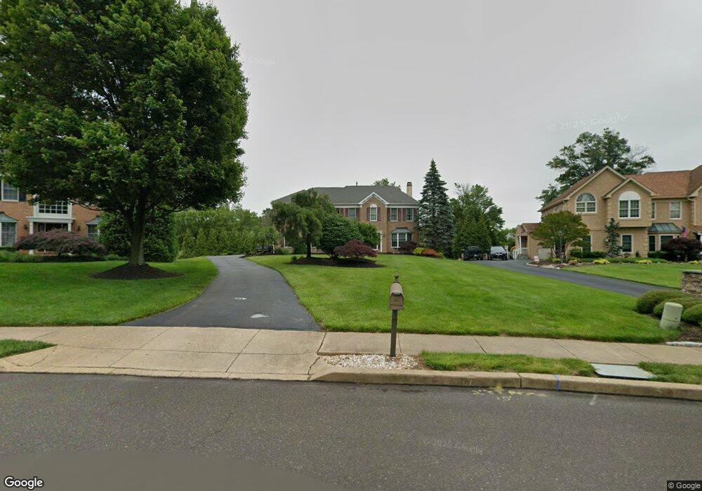
2010 Cedar Dr Warrington, PA 18976
Estimated Value: $872,000 - $1,004,000
4
Beds
3
Baths
3,338
Sq Ft
$282/Sq Ft
Est. Value
About This Home
This home is located at 2010 Cedar Dr, Warrington, PA 18976 and is currently estimated at $942,956, approximately $282 per square foot. 2010 Cedar Dr is a home located in Bucks County with nearby schools including Barclay Elementary School, Tamanend Middle School, and Central Bucks High School - South.
Ownership History
Date
Name
Owned For
Owner Type
Purchase Details
Closed on
Feb 22, 1994
Sold by
Warwick Estates
Bought by
Nicastro John and Nicastro Christine
Current Estimated Value
Home Financials for this Owner
Home Financials are based on the most recent Mortgage that was taken out on this home.
Original Mortgage
$160,000
Interest Rate
6.96%
Create a Home Valuation Report for This Property
The Home Valuation Report is an in-depth analysis detailing your home's value as well as a comparison with similar homes in the area
Home Values in the Area
Average Home Value in this Area
Purchase History
| Date | Buyer | Sale Price | Title Company |
|---|---|---|---|
| Nicastro John | $217,549 | -- |
Source: Public Records
Mortgage History
| Date | Status | Borrower | Loan Amount |
|---|---|---|---|
| Previous Owner | Nicastro John | $160,000 |
Source: Public Records
Tax History Compared to Growth
Tax History
| Year | Tax Paid | Tax Assessment Tax Assessment Total Assessment is a certain percentage of the fair market value that is determined by local assessors to be the total taxable value of land and additions on the property. | Land | Improvement |
|---|---|---|---|---|
| 2025 | $10,043 | $57,700 | $10,320 | $47,380 |
| 2024 | $10,043 | $57,700 | $10,320 | $47,380 |
| 2023 | $9,725 | $57,700 | $10,320 | $47,380 |
| 2022 | $9,616 | $57,700 | $10,320 | $47,380 |
| 2021 | $8,804 | $53,420 | $10,320 | $43,100 |
| 2020 | $8,804 | $53,420 | $10,320 | $43,100 |
| 2019 | $8,750 | $53,420 | $10,320 | $43,100 |
| 2018 | $8,750 | $53,420 | $10,320 | $43,100 |
| 2017 | $8,683 | $53,420 | $10,320 | $43,100 |
| 2016 | $8,683 | $53,420 | $10,320 | $43,100 |
| 2015 | -- | $53,420 | $10,320 | $43,100 |
| 2014 | -- | $53,420 | $10,320 | $43,100 |
Source: Public Records
Map
Nearby Homes
- 1656 S Ash Cir
- 1447 Bentley Dr
- 2226 Orchard Hill Cir
- 2158 Green Ridge Dr
- 1402 Valley View
- 1877 Brook Ln
- 1917 Brook Ln
- Kingswood Plan at Breton Hill
- Mayweather Plan at Breton Hill
- Cloverfield Plan at Breton Hill
- Raintree Plan at Breton Hill
- Rollins Plan at Breton Hill
- 0 W Bristol Rd
- 2234 Evin Dr
- 2302 MacIs Cir
- 110 Zircon Ct Unit 14
- 1620 Rockcress Dr
- 1618 Mayfield Cir
- 2018 Buckingham Dr
- 1105 Madison Cir