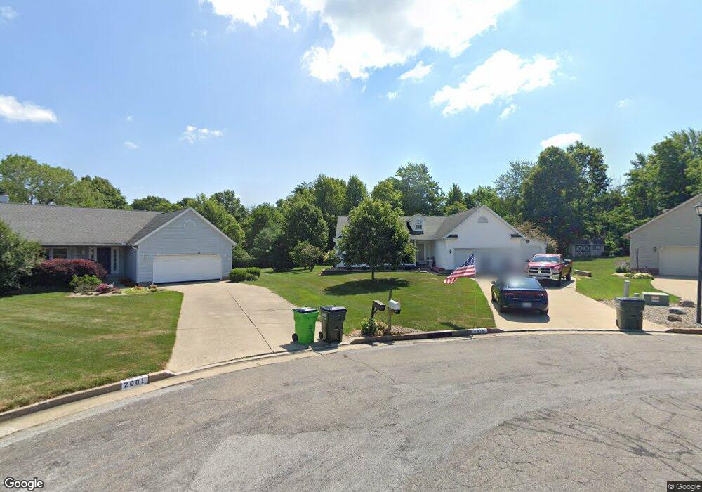
2010 Crestwood St Alliance, OH 44601
Estimated Value: $273,000 - $315,000
3
Beds
2
Baths
1,730
Sq Ft
$168/Sq Ft
Est. Value
About This Home
This home is located at 2010 Crestwood St, Alliance, OH 44601 and is currently estimated at $290,193, approximately $167 per square foot. 2010 Crestwood St is a home located in Stark County with nearby schools including Marlington High School and Regina Coeli/St Joseph School.
Ownership History
Date
Name
Owned For
Owner Type
Purchase Details
Closed on
May 18, 2006
Sold by
Delpuppo Marjorie L
Bought by
Brodzinski Lynn M and Brodzinski Kim A
Current Estimated Value
Purchase Details
Closed on
Jul 30, 2004
Sold by
Delpuppo Armando and Delpuppo Marjorie L
Bought by
Delpuppo Marjorie L
Purchase Details
Closed on
Aug 25, 1997
Sold by
Stilwell Warren
Bought by
Delpuppo Armando and Delpuppo Marjorie
Purchase Details
Closed on
Oct 3, 1996
Sold by
Westwood Properties
Bought by
Stilwell Warren
Create a Home Valuation Report for This Property
The Home Valuation Report is an in-depth analysis detailing your home's value as well as a comparison with similar homes in the area
Home Values in the Area
Average Home Value in this Area
Purchase History
| Date | Buyer | Sale Price | Title Company |
|---|---|---|---|
| Brodzinski Lynn M | $175,000 | Union Title Co | |
| Delpuppo Marjorie L | -- | -- | |
| Delpuppo Armando | $140,150 | -- | |
| Stilwell Warren | $19,500 | -- |
Source: Public Records
Tax History Compared to Growth
Tax History
| Year | Tax Paid | Tax Assessment Tax Assessment Total Assessment is a certain percentage of the fair market value that is determined by local assessors to be the total taxable value of land and additions on the property. | Land | Improvement |
|---|---|---|---|---|
| 2025 | -- | $82,750 | $22,440 | $60,310 |
| 2024 | -- | $82,750 | $22,440 | $60,310 |
| 2023 | $1,943 | $71,960 | $17,080 | $54,880 |
| 2022 | $2,235 | $71,960 | $17,080 | $54,880 |
| 2021 | $2,242 | $71,960 | $17,080 | $54,880 |
| 2020 | $2,137 | $61,290 | $14,880 | $46,410 |
| 2019 | $2,118 | $61,290 | $14,880 | $46,410 |
| 2018 | $2,121 | $61,290 | $14,880 | $46,410 |
| 2017 | $1,887 | $54,920 | $11,940 | $42,980 |
| 2016 | $1,811 | $52,680 | $11,940 | $40,740 |
| 2015 | $1,814 | $52,680 | $11,940 | $40,740 |
| 2014 | $1,897 | $50,440 | $11,410 | $39,030 |
| 2013 | $949 | $50,440 | $11,410 | $39,030 |
Source: Public Records
Map
Nearby Homes
- 2081 Marwood Cir
- 1430 Westwood Ave
- 0 S Sawburg Ave Unit 5113457
- 2371 Ansley St Unit 2371
- 2377 Ansley St Unit 2377
- 1201 Overlook Dr
- 2050 Federal Ave
- 8630 Schubert Ave NE
- 2220 Western Ave
- 2112 Blenheim Ave
- 0 W Main St Unit 5090123
- 970 Kingsway St
- 1321 Parkway Blvd
- 0 Easton St NE
- 884 W College Rd
- 2851 Patriots Path Unit 3D
- 1515 S Rockhill Ave
- 896 Parkway Blvd
- 738 Kingsway St
- 2435 Queensbury Rd
- 2020 Crestwood St
- 2001 Crestwood St
- 2011 Crestwood St
- 2030 Crestwood St
- 2021 Crestwood St
- 1510 Northwood Ave
- 2030 Overcrest St
- 2020 Overcrest St
- 1520 Northwood Ave
- 2031 Crestwood St
- 2038 Overcrest St
- 2010 Overcrest St
- 2040 Crestwood St
- 2046 Overcrest St
- 1511 Northwood Ave
- 13722 Overcrest St NE
- 2041 Crestwood St
- 1530 Northwood Ave
- 1521 Northwood Ave
- 2056 Overcrest St