2010 Devonhurst Dr Powder Springs, GA 30127
West Cobb NeighborhoodEstimated Value: $401,273 - $428,000
3
Beds
2
Baths
2,426
Sq Ft
$170/Sq Ft
Est. Value
About This Home
This home is located at 2010 Devonhurst Dr, Powder Springs, GA 30127 and is currently estimated at $413,568, approximately $170 per square foot. 2010 Devonhurst Dr is a home located in Cobb County with nearby schools including Tapp Middle School, McEachern High School, and Grace Baptist Christian School.
Ownership History
Date
Name
Owned For
Owner Type
Purchase Details
Closed on
Sep 16, 2020
Sold by
Hughes Leroy A and Hughes Carol A
Bought by
Hughes Bryan and C And L Hughes Family Trust
Current Estimated Value
Purchase Details
Closed on
Mar 17, 1999
Sold by
D R Horton Inc
Bought by
Hughes Leroy A and Hughes Carol
Home Financials for this Owner
Home Financials are based on the most recent Mortgage that was taken out on this home.
Original Mortgage
$123,000
Outstanding Balance
$29,113
Interest Rate
6.74%
Mortgage Type
New Conventional
Estimated Equity
$384,455
Create a Home Valuation Report for This Property
The Home Valuation Report is an in-depth analysis detailing your home's value as well as a comparison with similar homes in the area
Home Values in the Area
Average Home Value in this Area
Purchase History
| Date | Buyer | Sale Price | Title Company |
|---|---|---|---|
| Hughes Bryan | -- | None Available | |
| Hughes Leroy A | $169,100 | -- |
Source: Public Records
Mortgage History
| Date | Status | Borrower | Loan Amount |
|---|---|---|---|
| Open | Hughes Leroy A | $123,000 |
Source: Public Records
Tax History Compared to Growth
Tax History
| Year | Tax Paid | Tax Assessment Tax Assessment Total Assessment is a certain percentage of the fair market value that is determined by local assessors to be the total taxable value of land and additions on the property. | Land | Improvement |
|---|---|---|---|---|
| 2025 | $1,107 | $141,656 | $14,000 | $127,656 |
| 2024 | $1,110 | $141,656 | $14,000 | $127,656 |
| 2023 | $904 | $141,656 | $14,000 | $127,656 |
| 2022 | $1,037 | $117,484 | $14,000 | $103,484 |
| 2021 | $959 | $91,108 | $14,000 | $77,108 |
| 2020 | $2,765 | $91,108 | $14,000 | $77,108 |
| 2019 | $2,235 | $73,656 | $14,000 | $59,656 |
| 2018 | $2,235 | $73,656 | $14,000 | $59,656 |
| 2017 | $2,118 | $73,656 | $14,000 | $59,656 |
| 2016 | $2,118 | $73,656 | $14,000 | $59,656 |
| 2015 | $1,619 | $54,940 | $14,000 | $40,940 |
| 2014 | $1,632 | $54,940 | $0 | $0 |
Source: Public Records
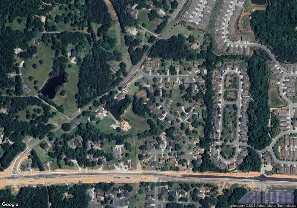
Map
Nearby Homes
- 1896 Bullard Rd
- 1888 Rainbow Ln
- 4821 Overland Dr
- 4643 Melody Ct
- 5110 MacLand Rd
- 2223 Noelle Place
- 4696 Cooling Water Cir
- 2239 Noelle Place
- 2337 Old Lost Mountain Rd
- 4458 Spring Mountain Ln
- 1799 Harmony Rd
- 2159 Belmont Trace
- Payton III Plan at Springside Reserve - Farmhouse Series
- Monroe Plan at Springside Reserve - Farmhouse Series
- Huntington Plan at Springside Reserve - Farmhouse Series
- Benjamin II Plan at Springside Reserve - Farmhouse Series
- Richard II Plan at Springside Reserve - Farmhouse Series
- Somerset III Plan at Springside Reserve - Farmhouse Series
- Reynold Plan at Springside Reserve - Farmhouse Series
- Alexander Plan at Springside Reserve - Farmhouse Series
- 2014 Devonhurst Dr
- 2018 Devonhurst Dr
- 2013 Devonhurst Dr
- 4821 Devonhurst Way
- 2002 Devonhurst Dr
- 0 Devonhurst Dr Unit 7493993
- 0 Devonhurst Dr Unit 7377543
- 0 Devonhurst Dr Unit 7341700
- 0 Devonhurst Dr Unit 7134391
- 0 Devonhurst Dr Unit 8778376
- 0 Devonhurst Dr Unit 8046640
- 0 Devonhurst Dr Unit 7593847
- 0 Devonhurst Dr Unit 7563469
- 0 Devonhurst Dr Unit 3227324
- 0 Devonhurst Dr Unit 3205109
- 0 Devonhurst Dr Unit 3205104
- 0 Devonhurst Dr
- 4817 Devonhurst Way
- 2022 Devonhurst Dr
- 4829 Devonhurst Way