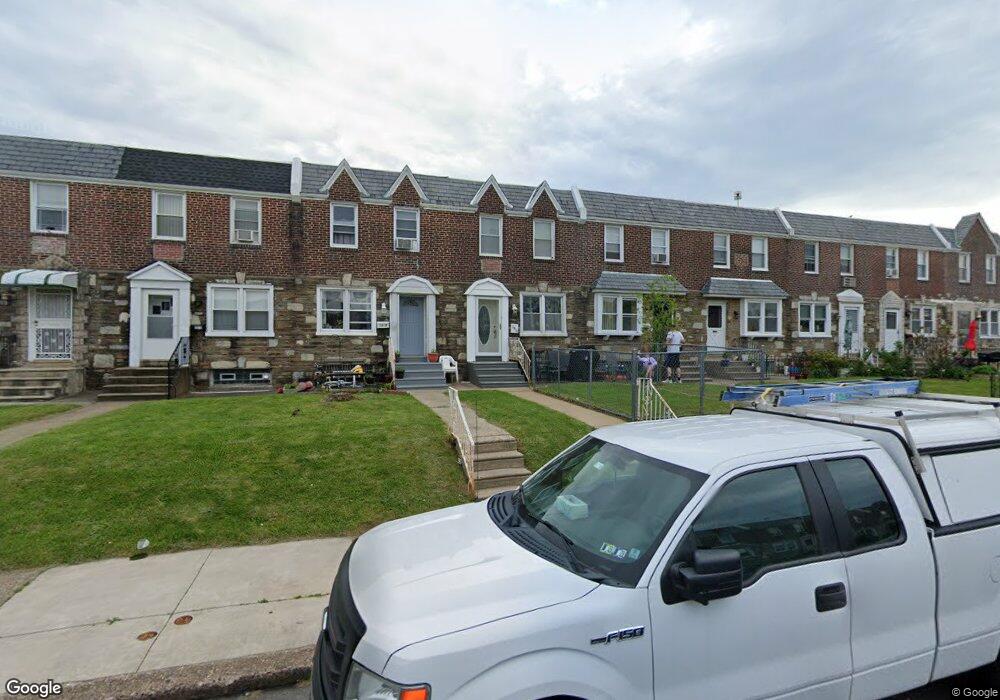
2010 Disston St Philadelphia, PA 19149
Castor Gardens NeighborhoodEstimated Value: $219,381 - $269,000
3
Beds
1
Bath
1,126
Sq Ft
$214/Sq Ft
Est. Value
About This Home
This home is located at 2010 Disston St, Philadelphia, PA 19149 and is currently estimated at $241,095, approximately $214 per square foot. 2010 Disston St is a home located in Philadelphia County with nearby schools including Solomon Solis-Cohen School, Castor Gardens Middle School, and Northeast High School.
Ownership History
Date
Name
Owned For
Owner Type
Purchase Details
Closed on
Feb 15, 2006
Sold by
Thomas Donna M
Bought by
Haj Murad
Current Estimated Value
Home Financials for this Owner
Home Financials are based on the most recent Mortgage that was taken out on this home.
Original Mortgage
$150,000
Outstanding Balance
$84,244
Interest Rate
6.16%
Mortgage Type
Unknown
Estimated Equity
$156,851
Purchase Details
Closed on
Dec 28, 1994
Sold by
Gordon Nathan and Gordon Beverly
Bought by
Thomas Donna M
Create a Home Valuation Report for This Property
The Home Valuation Report is an in-depth analysis detailing your home's value as well as a comparison with similar homes in the area
Home Values in the Area
Average Home Value in this Area
Purchase History
| Date | Buyer | Sale Price | Title Company |
|---|---|---|---|
| Haj Murad | $150,000 | First American Title Ins Co | |
| Thomas Donna M | $69,900 | -- |
Source: Public Records
Mortgage History
| Date | Status | Borrower | Loan Amount |
|---|---|---|---|
| Open | Haj Murad | $150,000 |
Source: Public Records
Tax History Compared to Growth
Tax History
| Year | Tax Paid | Tax Assessment Tax Assessment Total Assessment is a certain percentage of the fair market value that is determined by local assessors to be the total taxable value of land and additions on the property. | Land | Improvement |
|---|---|---|---|---|
| 2025 | $2,444 | $215,800 | $43,160 | $172,640 |
| 2024 | $2,444 | $215,800 | $43,160 | $172,640 |
| 2023 | $2,444 | $174,600 | $34,920 | $139,680 |
| 2022 | $1,176 | $129,600 | $34,920 | $94,680 |
| 2021 | $1,806 | $0 | $0 | $0 |
| 2020 | $1,806 | $0 | $0 | $0 |
| 2019 | $1,733 | $0 | $0 | $0 |
| 2018 | $1,225 | $0 | $0 | $0 |
| 2017 | $1,645 | $0 | $0 | $0 |
| 2016 | $1,225 | $0 | $0 | $0 |
| 2015 | $1,173 | $0 | $0 | $0 |
| 2014 | -- | $117,500 | $21,810 | $95,690 |
| 2012 | -- | $15,968 | $1,427 | $14,541 |
Source: Public Records
Map
Nearby Homes
- 2011 Longshore Ave
- 6900 Eastwood St
- 2110 Longshore Ave
- 2119 Glenview St
- 6826 Sylvester St
- 2171 Disston St
- 7028 Horrocks St
- 2140 Princeton Ave
- 2162 Princeton Ave
- 7034 Souder St
- 6725 Eastwood St
- 2105 Friendship St
- 2169 Knorr St
- 6946 Kindred St
- 6829 Horrocks St
- 7153 Saul St
- 7039 Kindred St
- 7155 Saul St
- 2206 Princeton Ave
- 7123 Souder St
- 2008 Disston St
- 2012 Disston St
- 2006 Disston St
- 2014 Disston St
- 2004 Disston St
- 2002 Disston St
- 2018 Disston St
- 2020 Disston St
- 2000 Disston St
- 2022 Disston St
- 2009 Longshore Ave
- 2007 Longshore Ave
- 2013 Longshore Ave
- 2015 Longshore Ave
- 2005 Longshore Ave
- 2024 Disston St
- 2003 Longshore Ave
- 2017 Longshore Ave
- 2001 Longshore Ave
- 2026 Disston St