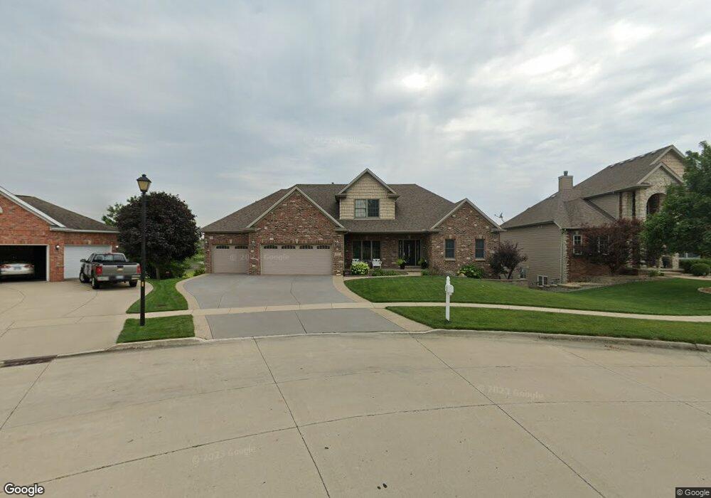
2010 Ebo Ln Bloomington, IL 61704
Hedgewood NeighborhoodEstimated Value: $533,000 - $597,501
3
Beds
4
Baths
2,377
Sq Ft
$241/Sq Ft
Est. Value
About This Home
This home is located at 2010 Ebo Ln, Bloomington, IL 61704 and is currently estimated at $573,875, approximately $241 per square foot. 2010 Ebo Ln is a home located in McLean County with nearby schools including Northpoint Elementary School, Kingsley Junior High School, and Normal Community High School.
Ownership History
Date
Name
Owned For
Owner Type
Purchase Details
Closed on
Apr 29, 2011
Sold by
Temple Susan Therese
Bought by
Burrows Travis Ray and Burrows Laura E
Current Estimated Value
Home Financials for this Owner
Home Financials are based on the most recent Mortgage that was taken out on this home.
Original Mortgage
$320,000
Outstanding Balance
$222,385
Interest Rate
4.88%
Estimated Equity
$351,490
Purchase Details
Closed on
Dec 22, 2009
Sold by
Temple Michael W
Bought by
Temple Susan Therese
Create a Home Valuation Report for This Property
The Home Valuation Report is an in-depth analysis detailing your home's value as well as a comparison with similar homes in the area
Home Values in the Area
Average Home Value in this Area
Purchase History
| Date | Buyer | Sale Price | Title Company |
|---|---|---|---|
| Burrows Travis Ray | $445,000 | Frontier Title Co | |
| Burrows Travis Ray | -- | Frontier Title Co | |
| Temple Susan Therese | -- | None Available | |
| Temple Susan Therese | -- | None Available | |
| Temple Susan Therese | -- | None Available |
Source: Public Records
Mortgage History
| Date | Status | Borrower | Loan Amount |
|---|---|---|---|
| Open | Burrows Travis Ray | $320,000 |
Source: Public Records
Tax History
| Year | Tax Paid | Tax Assessment Tax Assessment Total Assessment is a certain percentage of the fair market value that is determined by local assessors to be the total taxable value of land and additions on the property. | Land | Improvement |
|---|---|---|---|---|
| 2024 | $12,668 | $184,213 | $33,793 | $150,420 |
| 2022 | $12,668 | $149,366 | $27,401 | $121,965 |
| 2021 | $12,178 | $142,210 | $26,088 | $116,122 |
| 2020 | $12,194 | $142,210 | $26,088 | $116,122 |
| 2019 | $11,798 | $142,210 | $26,088 | $116,122 |
| 2018 | $11,786 | $142,210 | $26,088 | $116,122 |
| 2017 | $11,308 | $142,210 | $26,088 | $116,122 |
| 2016 | $11,126 | $140,385 | $25,753 | $114,632 |
| 2015 | $10,973 | $138,528 | $25,412 | $113,116 |
| 2014 | $10,756 | $137,364 | $25,412 | $111,952 |
| 2013 | -- | $137,364 | $25,412 | $111,952 |
Source: Public Records
Map
Nearby Homes
- 11 Spruce Ct
- 9 Spruce Ct
- 2110 Sinclair Ct
- 2807 Vrooman Ct
- 2812 Vrooman Ct
- 2703 Vrooman Ct
- 7 Melrose Ct
- 2813 Stonehurst
- 2215 Woodfield Rd
- 1903 Oakwood Ave
- 3211 Leafy Ln
- 10 Cameron Ct
- 59 Bandecon Way
- 404 Lake Shore Cir
- 1 Windsong Way
- 1 Worthington Ct
- Lot D Fort Jesse Rd
- Lot F Fort Jesse Rd
- Lot E Fort Jesse Rd
- 2822 Chesapeake Ln
Your Personal Tour Guide
Ask me questions while you tour the home.