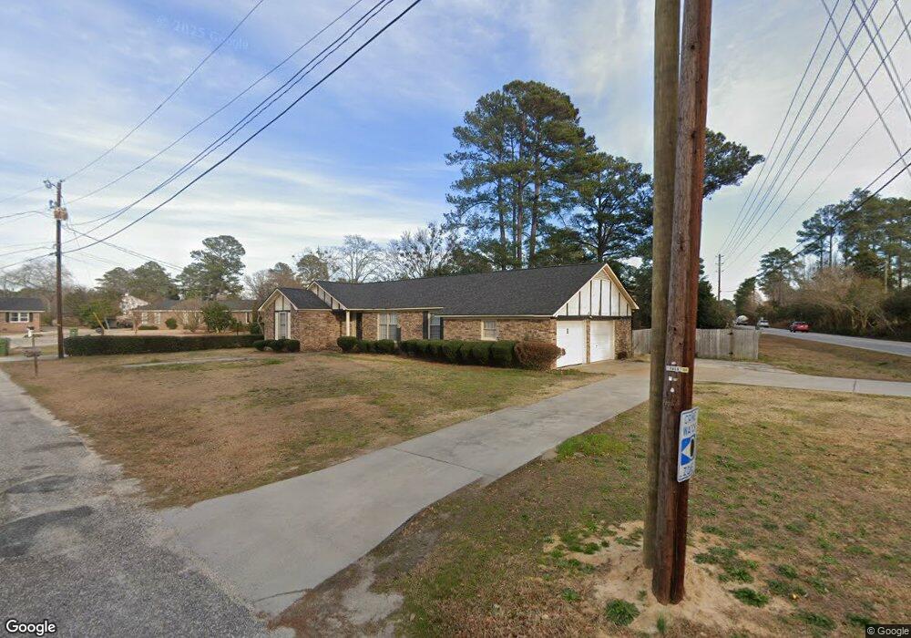
2010 Elaine Cir Florence, SC 29505
Estimated Value: $206,000 - $230,000
3
Beds
2
Baths
1,667
Sq Ft
$128/Sq Ft
Est. Value
About This Home
This home is located at 2010 Elaine Cir, Florence, SC 29505 and is currently estimated at $213,793, approximately $128 per square foot. 2010 Elaine Cir is a home located in Florence County with nearby schools including McLaurin Elementary School, Henry L. Sneed Middle School, and John W. Moore Middle School.
Ownership History
Date
Name
Owned For
Owner Type
Purchase Details
Closed on
Jan 14, 2021
Sold by
Banning William B
Bought by
Banning Wanda G
Current Estimated Value
Home Financials for this Owner
Home Financials are based on the most recent Mortgage that was taken out on this home.
Original Mortgage
$133,200
Outstanding Balance
$118,650
Interest Rate
2.6%
Mortgage Type
New Conventional
Estimated Equity
$95,143
Purchase Details
Closed on
Feb 14, 2005
Sold by
Lochart John E and Lochart Cheryl J
Bought by
Banning Ii William B
Home Financials for this Owner
Home Financials are based on the most recent Mortgage that was taken out on this home.
Original Mortgage
$26,000
Interest Rate
5.68%
Mortgage Type
Stand Alone Second
Create a Home Valuation Report for This Property
The Home Valuation Report is an in-depth analysis detailing your home's value as well as a comparison with similar homes in the area
Home Values in the Area
Average Home Value in this Area
Purchase History
| Date | Buyer | Sale Price | Title Company |
|---|---|---|---|
| Banning Wanda G | $148,000 | None Available | |
| Banning Ii William B | $130,000 | -- |
Source: Public Records
Mortgage History
| Date | Status | Borrower | Loan Amount |
|---|---|---|---|
| Open | Banning Wanda G | $133,200 | |
| Previous Owner | Banning Ii William B | $26,000 | |
| Previous Owner | Banning Ii William B | $104,000 |
Source: Public Records
Tax History Compared to Growth
Tax History
| Year | Tax Paid | Tax Assessment Tax Assessment Total Assessment is a certain percentage of the fair market value that is determined by local assessors to be the total taxable value of land and additions on the property. | Land | Improvement |
|---|---|---|---|---|
| 2024 | $3,506 | $7,795 | $1,000 | $6,795 |
| 2023 | $3,115 | $5,822 | $1,000 | $4,822 |
| 2022 | $3,131 | $5,822 | $1,000 | $4,822 |
| 2021 | $2,948 | $8,010 | $0 | $0 |
| 2020 | $2,811 | $8,010 | $0 | $0 |
| 2019 | $2,765 | $5,342 | $1,000 | $4,342 |
| 2018 | $2,661 | $8,010 | $0 | $0 |
| 2017 | $2,608 | $8,010 | $0 | $0 |
| 2016 | $2,560 | $8,010 | $0 | $0 |
| 2015 | $2,559 | $8,010 | $0 | $0 |
| 2014 | $2,443 | $5,342 | $1,000 | $4,342 |
Source: Public Records
Map
Nearby Homes
- 1311 Queens Ferry Rd
- 2206 Wellesly Ct
- 1303 Queensferry
- 2211 Amberleigh Ct
- 1801 Woods Dr
- 1779 S Saint Anthony Ave
- 1770 Woods Dr
- 1809 Taylor Ct
- 1719 Furman Dr
- 2113 Sanderling Dr
- 2125 Sanderling Dr
- 1767 Marsh Ave
- 1768 Marsh Ave
- 1700 Woods Dr
- 1311 Pinckney Ave
- 1831 Wax Myrtle Dr
- 1110 3rd Loop Rd
- 1465 Gardener Rd
- 1717 Full Moon Rd
- 1800 Thistle Ct
- 2004 Elaine Cir
- 2015 W Sandhurst Dr
- 2100 Highgate St
- 2009 Elaine Cir
- 2005 Elaine Cir
- 2011 W Sandhurst Dr
- 2002 Elaine Cir
- 1335 Queens Ferry Rd
- 2000 Elaine Cir
- 2007 W Sandhurst Dr
- 2001 Elaine Cir
- 2104 Highgate St
- 2101 Highgate St
- 1339 Queens Ferry Rd
- 1339 Queensferry
- 2008 S Laurie Cir
- 2004 S Laurie Cir
- 1331 Queens Ferry Rd
- 2012 S Laurie Cir
- 2001 W Sandhurst Dr