2010 Gross Rd Pottstown, PA 19464
Estimated Value: $500,000 - $605,000
5
Beds
3
Baths
2,752
Sq Ft
$202/Sq Ft
Est. Value
About This Home
This home is located at 2010 Gross Rd, Pottstown, PA 19464 and is currently estimated at $555,750, approximately $201 per square foot. 2010 Gross Rd is a home located in Montgomery County with nearby schools including Lower Pottsgrove Elementary School, Pottsgrove Middle School, and Pottsgrove Senior High School.
Ownership History
Date
Name
Owned For
Owner Type
Purchase Details
Closed on
Apr 25, 1986
Bought by
Sikorski John S and Sikorski Cathleen S
Current Estimated Value
Create a Home Valuation Report for This Property
The Home Valuation Report is an in-depth analysis detailing your home's value as well as a comparison with similar homes in the area
Home Values in the Area
Average Home Value in this Area
Purchase History
| Date | Buyer | Sale Price | Title Company |
|---|---|---|---|
| Sikorski John S | $140,000 | -- |
Source: Public Records
Tax History Compared to Growth
Tax History
| Year | Tax Paid | Tax Assessment Tax Assessment Total Assessment is a certain percentage of the fair market value that is determined by local assessors to be the total taxable value of land and additions on the property. | Land | Improvement |
|---|---|---|---|---|
| 2025 | $10,306 | $210,160 | $72,960 | $137,200 |
| 2024 | $10,306 | $210,160 | $72,960 | $137,200 |
| 2023 | $9,985 | $210,160 | $72,960 | $137,200 |
| 2022 | $9,835 | $210,160 | $72,960 | $137,200 |
| 2021 | $9,693 | $210,160 | $72,960 | $137,200 |
| 2020 | $9,657 | $210,160 | $72,960 | $137,200 |
| 2019 | $9,607 | $210,160 | $72,960 | $137,200 |
| 2018 | $1,650 | $210,160 | $72,960 | $137,200 |
| 2017 | $9,639 | $210,160 | $72,960 | $137,200 |
| 2016 | $9,557 | $210,160 | $72,960 | $137,200 |
| 2015 | $9,338 | $210,160 | $72,960 | $137,200 |
| 2014 | $9,338 | $210,160 | $72,960 | $137,200 |
Source: Public Records
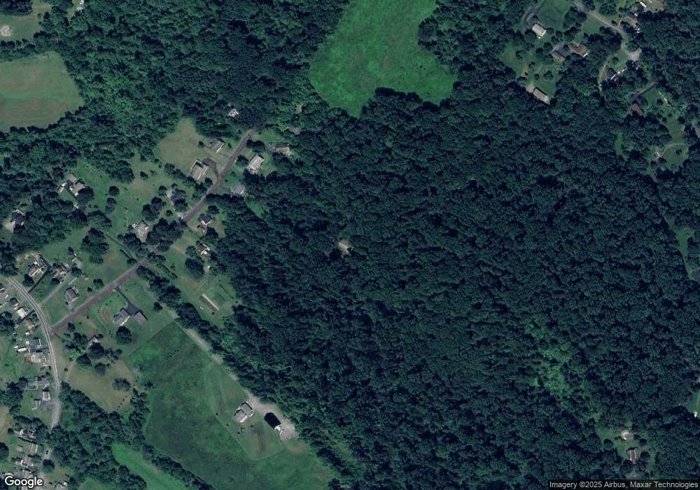
Map
Nearby Homes
- 318 Haven Dr
- 302 Haven Dr
- 314 Haven Dr
- 296 Haven Dr
- 290 Haven Dr
- 284 Haven Dr
- 278 Haven Dr
- Laurel Plan at Pottsgrove Hunt - 55+
- NEUVILLE Plan at Pottsgrove Hunt - 55+
- Lismore Plan at Pottsgrove Hunt - 55+
- 164 Birdsong Way
- 157 Forage Cir
- 145 Forage Cir
- 201 Lilly Dr
- 158 Lilly Dr
- 110 Lilly Dr
- 290 Buchert Rd Unit 1
- 288 Buchert Rd Unit 2
- 286 Buchert Rd
- 2146 Gilbertsville Rd