2010 Hessian Ct Unit XXXI Stone Mountain, GA 30087
Smoke Rise NeighborhoodEstimated Value: $569,000 - $623,000
4
Beds
3
Baths
2,865
Sq Ft
$207/Sq Ft
Est. Value
About This Home
This home is located at 2010 Hessian Ct Unit XXXI, Stone Mountain, GA 30087 and is currently estimated at $591,774, approximately $206 per square foot. 2010 Hessian Ct Unit XXXI is a home located in DeKalb County with nearby schools including Smoke Rise Elementary School, Tucker Middle School, and Tucker High School.
Ownership History
Date
Name
Owned For
Owner Type
Purchase Details
Closed on
Dec 12, 2002
Sold by
Aeschlimann Roy G
Bought by
Aeschlimann Patti W
Current Estimated Value
Home Financials for this Owner
Home Financials are based on the most recent Mortgage that was taken out on this home.
Original Mortgage
$288,000
Interest Rate
5.92%
Mortgage Type
Stand Alone Refi Refinance Of Original Loan
Purchase Details
Closed on
Oct 22, 1997
Sold by
Sledd Sandra A
Bought by
Aeschlimann Roy G and Aeschlimann Patti
Home Financials for this Owner
Home Financials are based on the most recent Mortgage that was taken out on this home.
Original Mortgage
$179,450
Interest Rate
6.62%
Mortgage Type
New Conventional
Create a Home Valuation Report for This Property
The Home Valuation Report is an in-depth analysis detailing your home's value as well as a comparison with similar homes in the area
Home Values in the Area
Average Home Value in this Area
Purchase History
| Date | Buyer | Sale Price | Title Company |
|---|---|---|---|
| Aeschlimann Patti W | -- | -- | |
| Aeschlimann Roy G | $188,900 | -- |
Source: Public Records
Mortgage History
| Date | Status | Borrower | Loan Amount |
|---|---|---|---|
| Previous Owner | Aeschlimann Patti W | $288,000 | |
| Previous Owner | Aeschlimann Patti W | $54,000 | |
| Previous Owner | Aeschlimann Roy G | $179,450 |
Source: Public Records
Tax History Compared to Growth
Tax History
| Year | Tax Paid | Tax Assessment Tax Assessment Total Assessment is a certain percentage of the fair market value that is determined by local assessors to be the total taxable value of land and additions on the property. | Land | Improvement |
|---|---|---|---|---|
| 2025 | $6,750 | $238,480 | $34,000 | $204,480 |
| 2024 | $6,270 | $211,920 | $34,000 | $177,920 |
| 2023 | $6,270 | $208,520 | $34,000 | $174,520 |
| 2022 | $5,524 | $184,840 | $24,000 | $160,840 |
| 2021 | $4,004 | $117,040 | $24,000 | $93,040 |
| 2020 | $3,709 | $109,840 | $50,040 | $59,800 |
| 2019 | $3,830 | $114,880 | $50,040 | $64,840 |
| 2018 | $3,517 | $104,400 | $50,040 | $54,360 |
| 2017 | $4,215 | $121,280 | $50,040 | $71,240 |
| 2016 | $3,836 | $112,800 | $50,040 | $62,760 |
| 2014 | $3,146 | $89,680 | $50,040 | $39,640 |
Source: Public Records
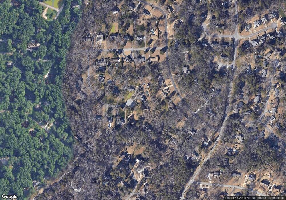
Map
Nearby Homes
- 5774 Vantage Ct
- 5798 Musket Ln
- 923 Tall Pine Ct SW
- 5936 Millstone Ln
- 771 Mountainbrooke Cir SW
- 5523 Bahia Mar Cir
- 851 Rockbridge Rd SW
- 5888 Old Stone Mountain Rd
- 5919 Heritage Ln
- 1809 Silver Ridge Ct
- 507 Castlearie Dr
- 507 Castleaire Dr Unit 1
- 717 Oxford Ct SW
- 1777 E Gate Trail
- 881 Rockbridge Rd SW
- 5401 Smoke Rise Dr
- 483 Rollingwood Dr
- 746 Oxford Ct SW
- 6268 Old Stone Mountain Rd
- 5951 Hugh Howell Rd
- 2020 Hessian Ct
- 2069 Silversmith Ln
- 2079 Silversmith Ln
- 2059 Silversmith Ln Unit XXIX
- 2015 Hessian Ct
- 1972 Lilburn Stone Mountain Rd
- 1972 Lilburn Stone Mountain Rd
- 2036 Hessian Ct
- 5765 Redcoat Run Unit XXIV
- 5755 Redcoat Run
- 5785 Redcoat Run
- 2025 Hessian Ct
- 5745 Redcoat Run
- 2033 Hessian Ct
- 2051 Silversmith Ln
- 2056 Hessian Ct
- 2068 Silversmith Ln Unit XXIX
- 2090 Silversmith Ln
- 5735 Redcoat Run
- 2041 Hessian Ct Unit 31