2010 Liberty Ln Zion, IL 60099
West Zion NeighborhoodEstimated Value: $185,000 - $591,077
10
Beds
14
Baths
6,430
Sq Ft
$52/Sq Ft
Est. Value
About This Home
This home is located at 2010 Liberty Ln, Zion, IL 60099 and is currently estimated at $334,026, approximately $51 per square foot. 2010 Liberty Ln is a home located in Lake County with nearby schools including Kenneth Murphy School, Beach Park Middle School, and Zion-Benton Township High School.
Ownership History
Date
Name
Owned For
Owner Type
Purchase Details
Closed on
Dec 30, 2014
Sold by
Sb1 Lake County Llc
Bought by
Reo Funding Solutions V Llc
Current Estimated Value
Purchase Details
Closed on
Dec 30, 2010
Sold by
Dph Shepherds Point Llc
Bought by
Sb1 Lake County Llc
Create a Home Valuation Report for This Property
The Home Valuation Report is an in-depth analysis detailing your home's value as well as a comparison with similar homes in the area
Home Values in the Area
Average Home Value in this Area
Purchase History
| Date | Buyer | Sale Price | Title Company |
|---|---|---|---|
| Reo Funding Solutions V Llc | $46,464 | None Available | |
| Sb1 Lake County Llc | -- | First American Title Ins Co |
Source: Public Records
Tax History Compared to Growth
Tax History
| Year | Tax Paid | Tax Assessment Tax Assessment Total Assessment is a certain percentage of the fair market value that is determined by local assessors to be the total taxable value of land and additions on the property. | Land | Improvement |
|---|---|---|---|---|
| 2024 | $26,384 | $231,626 | $8,285 | $223,341 |
| 2023 | $26,326 | $206,514 | $7,387 | $199,127 |
| 2022 | $26,326 | $201,770 | $6,072 | $195,698 |
| 2021 | $26,095 | $189,278 | $5,696 | $183,582 |
| 2020 | $25,313 | $178,026 | $5,357 | $172,669 |
| 2019 | $24,763 | $165,837 | $4,990 | $160,847 |
| 2018 | $8,610 | $55,365 | $1,615 | $53,750 |
| 2017 | $8,358 | $51,359 | $1,498 | $49,861 |
| 2016 | $7,846 | $46,622 | $1,360 | $45,262 |
| 2015 | $7,636 | $42,303 | $1,234 | $41,069 |
| 2014 | $15,305 | $87,911 | $4,986 | $82,925 |
| 2012 | $15,383 | $93,622 | $5,310 | $88,312 |
Source: Public Records
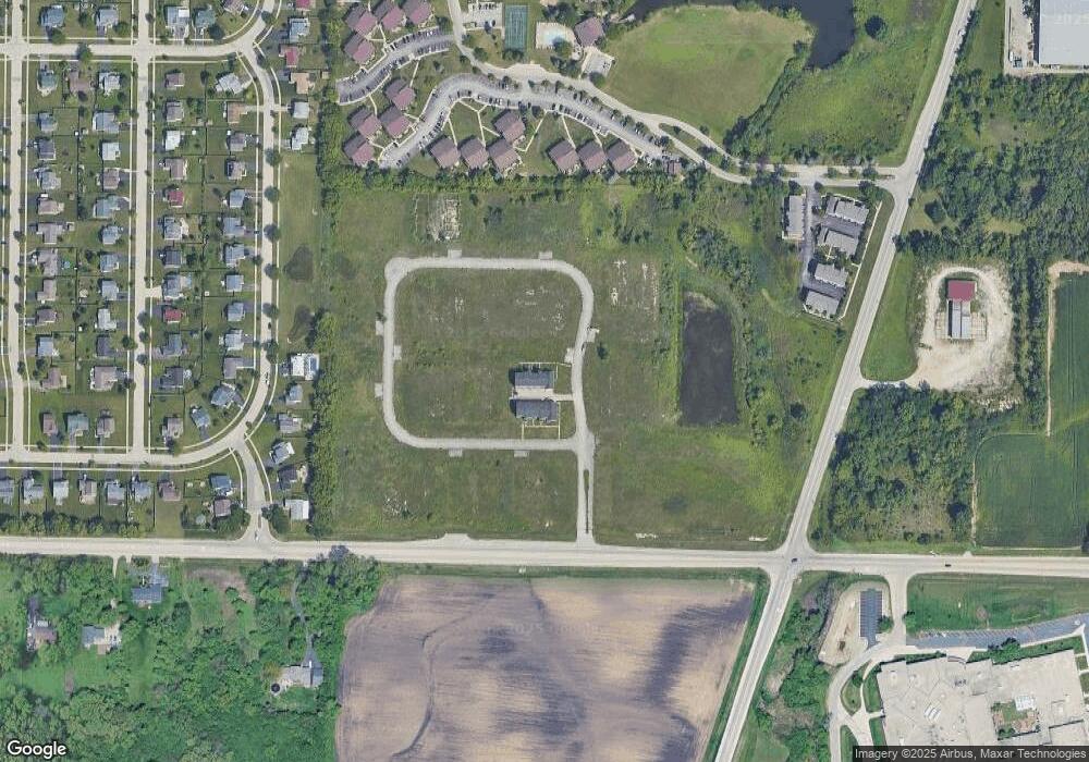
Map
Nearby Homes
- 2010 Sunset Ct
- 42334 N Heritage Lot 7 Trail
- 12434 W Van Ct
- 4109 Sarah Dr
- 2407 Phillip Dr
- 2414 Phillip Dr
- 2407 Miriam Ave
- 41320 N Green Bay Rd
- 4533 Illinois 173
- 2413 Michael Ave
- 4539 Illinois 173
- 4013 Ridge Rd
- 3404 Sarah Dr
- 1304 Lorelei Dr
- 1302 Lorelei Dr
- 3717 Willow Crest Dr
- 3707 Willow Crest Dr
- 1817 Joppa Ave
- 1304 Pelican Ct
- 1210 Lorelei Dr
- 2014 Liberty Ln
- 2000 Liberty Ln
- 2006 Liberty Ln
- 0 Liberty Ln Unit 6866947
- 2020 Liberty Ln
- 2212 Liberty Ln
- 2273 Liberty Ln
- 2032 Liberty Ln
- 2200 Liberty Ln
- 2124 Liberty Ln
- 2261 Liberty Ln
- 2285 Liberty Ln
- 2112 Liberty Ln
- 2013 Liberty Ln
- 2001 Liberty Ln
- 2044 Liberty Ln
- 2025 Liberty Ln
- 2237 Liberty Ln
- 2037 Liberty Ln
- 2100 Liberty Ln