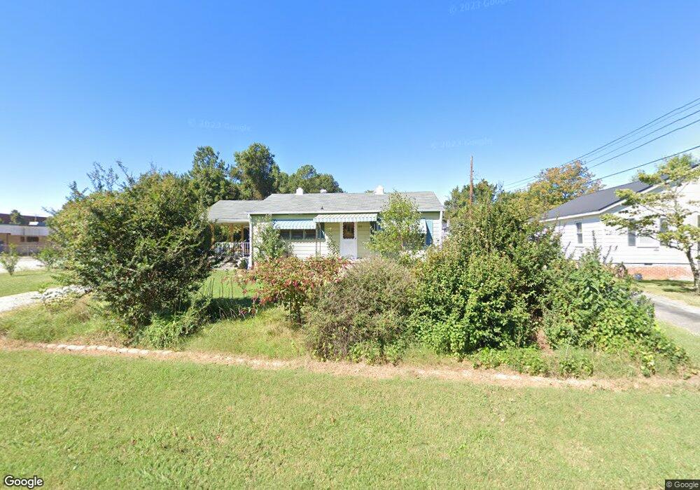
2010 Logan St High Point, NC 27263
Greater High Point NeighborhoodEstimated Value: $135,665 - $158,000
2
Beds
1
Bath
980
Sq Ft
$151/Sq Ft
Est. Value
About This Home
This home is located at 2010 Logan St, High Point, NC 27263 and is currently estimated at $147,555, approximately $150 per square foot. 2010 Logan St is a home located in Guilford County with nearby schools including Allen Jay Elementary School, Southern Guilford Middle, and Southern Guilford High School.
Ownership History
Date
Name
Owned For
Owner Type
Purchase Details
Closed on
Apr 26, 2021
Sold by
Beeson Terry W and Beeson Rachel K
Bought by
Qayum Durdana
Current Estimated Value
Home Financials for this Owner
Home Financials are based on the most recent Mortgage that was taken out on this home.
Original Mortgage
$67,900
Outstanding Balance
$61,486
Interest Rate
3.05%
Mortgage Type
New Conventional
Estimated Equity
$86,069
Purchase Details
Closed on
Sep 19, 2007
Bought by
Beeson Terry W
Purchase Details
Closed on
Aug 13, 1999
Sold by
Beeson Robt D and Beeson Josephine F
Bought by
Beeson Terry W
Create a Home Valuation Report for This Property
The Home Valuation Report is an in-depth analysis detailing your home's value as well as a comparison with similar homes in the area
Home Values in the Area
Average Home Value in this Area
Purchase History
| Date | Buyer | Sale Price | Title Company |
|---|---|---|---|
| Qayum Durdana | $70,000 | None Available | |
| Beeson Terry W | -- | -- | |
| Beeson Terry W | -- | -- |
Source: Public Records
Mortgage History
| Date | Status | Borrower | Loan Amount |
|---|---|---|---|
| Open | Qayum Durdana | $67,900 |
Source: Public Records
Tax History Compared to Growth
Tax History
| Year | Tax Paid | Tax Assessment Tax Assessment Total Assessment is a certain percentage of the fair market value that is determined by local assessors to be the total taxable value of land and additions on the property. | Land | Improvement |
|---|---|---|---|---|
| 2025 | $597 | $43,300 | $14,800 | $28,500 |
| 2024 | $597 | $43,300 | $14,800 | $28,500 |
| 2023 | $597 | $43,300 | $14,800 | $28,500 |
| 2022 | $584 | $43,300 | $14,800 | $28,500 |
| 2021 | $540 | $39,200 | $13,600 | $25,600 |
| 2020 | $540 | $39,200 | $13,600 | $25,600 |
| 2019 | $540 | $39,200 | $0 | $0 |
| 2018 | $537 | $39,200 | $0 | $0 |
| 2017 | $540 | $39,200 | $0 | $0 |
| 2016 | $558 | $39,800 | $0 | $0 |
| 2015 | $561 | $39,800 | $0 | $0 |
| 2014 | $571 | $39,800 | $0 | $0 |
Source: Public Records
Map
Nearby Homes
- 1809 S Elm St
- 1608 Culler Place
- 1610 Walker Place
- 1309 S Elm St
- 1113 Young Place
- 5866 Mendenhall Rd
- 320 Amhurst Ave
- 1300 Starr Dr
- 304 E Springfield Rd
- 223 Jay Place
- 400 E Springfield Rd
- 6327 Blazing Star Dr
- 720 Eden Terrace
- 1307 Potts Ave
- 604 W Ward Ave
- 312 Model Farm Rd
- 806 W Willis Ave
- 620 E Kearns Ave
- 622 E Kearns Ave
- 800 Cliffside Ave