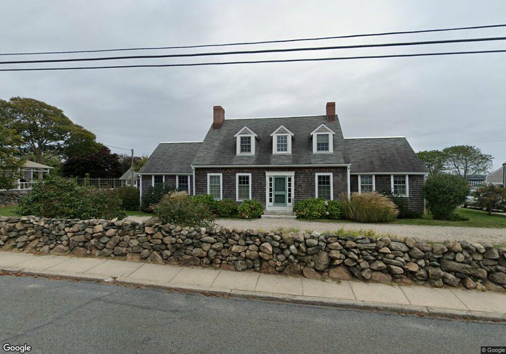
2010 Main Rd Westport Point, MA 02791
Westport Point NeighborhoodEstimated Value: $1,871,000 - $2,321,383
Studio
--
Bath
2,809
Sq Ft
$746/Sq Ft
Est. Value
About This Home
This home is located at 2010 Main Rd, Westport Point, MA 02791 and is currently estimated at $2,096,192, approximately $746 per square foot. 2010 Main Rd is a home with nearby schools including Alice A. Macomber Primary School, Westport Elementary School, and Westport Middle-High School.
Ownership History
Date
Name
Owned For
Owner Type
Purchase Details
Closed on
Dec 29, 2004
Sold by
Bachelder Richmond W
Bought by
Bachelder Ft and Bachelder Richmond W
Current Estimated Value
Purchase Details
Closed on
Jun 20, 2000
Sold by
Dexter Rt and Kennedy Mary Louise
Bought by
Bachelder Richmond W
Create a Home Valuation Report for This Property
The Home Valuation Report is an in-depth analysis detailing your home's value as well as a comparison with similar homes in the area
Home Values in the Area
Average Home Value in this Area
Purchase History
| Date | Buyer | Sale Price | Title Company |
|---|---|---|---|
| Bachelder Ft | -- | -- | |
| Bachelder Richmond W | $250,000 | -- | |
| Bachelder Richmond W | $250,000 | -- |
Source: Public Records
Tax History
| Year | Tax Paid | Tax Assessment Tax Assessment Total Assessment is a certain percentage of the fair market value that is determined by local assessors to be the total taxable value of land and additions on the property. | Land | Improvement |
|---|---|---|---|---|
| 2025 | $13,757 | $1,846,600 | $1,310,900 | $535,700 |
| 2024 | $13,076 | $1,691,600 | $1,166,500 | $525,100 |
| 2023 | $13,119 | $1,607,700 | $1,115,000 | $492,700 |
| 2022 | $12,145 | $1,432,200 | $1,010,900 | $421,300 |
| 2021 | $11,261 | $1,306,400 | $885,100 | $421,300 |
| 2020 | $10,704 | $1,269,700 | $852,600 | $417,100 |
| 2019 | $10,458 | $1,264,600 | $852,600 | $412,000 |
| 2018 | $9,497 | $1,162,400 | $737,300 | $425,100 |
| 2017 | $9,301 | $1,167,000 | $737,300 | $429,700 |
| 2016 | $9,069 | $1,146,500 | $716,800 | $429,700 |
| 2015 | $9,760 | $1,230,800 | $819,200 | $411,600 |
Source: Public Records
Map
Nearby Homes
- 17 Robbins St
- 2 Olin Howland Way
- 7 Taber Ln
- 1 Puddingstone Cir
- 238-242 E Beach Rd
- 22 3rd St
- Lot 2 Horseneck Rd
- 255 John Dyer Rd
- 649 Horseneck Rd
- 245 John Dyer Rd
- 25 Quail Trail
- 920 Drift Rd
- 408 Hixbridge Rd
- 17 Quail Trail
- 332 Division Rd
- 923 Drift Rd
- 101 Adamsville Rd
- Lot 2E Horseneck Rd
- 2 Slades Farm Ln
- 505 Long Hwy
Your Personal Tour Guide
Ask me questions while you tour the home.