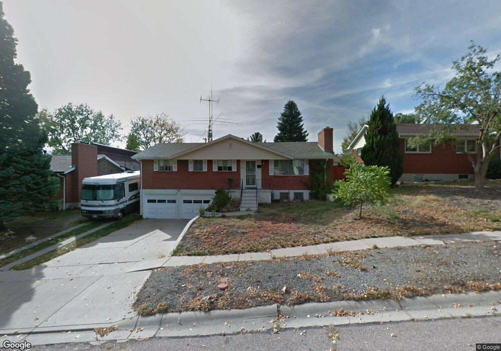
2010 Mcarthur Ave Colorado Springs, CO 80909
Palmer Park NeighborhoodEstimated Value: $430,000 - $470,000
4
Beds
3
Baths
1,515
Sq Ft
$292/Sq Ft
Est. Value
About This Home
This home is located at 2010 Mcarthur Ave, Colorado Springs, CO 80909 and is currently estimated at $442,579, approximately $292 per square foot. 2010 Mcarthur Ave is a home located in El Paso County with nearby schools including Audubon Elementary School, Mann Middle School, and William J. Palmer High School.
Ownership History
Date
Name
Owned For
Owner Type
Purchase Details
Closed on
Jan 9, 2020
Sold by
Demario Shirley
Bought by
Balogh Joseph
Current Estimated Value
Home Financials for this Owner
Home Financials are based on the most recent Mortgage that was taken out on this home.
Original Mortgage
$281,300
Outstanding Balance
$248,540
Interest Rate
3.6%
Mortgage Type
New Conventional
Estimated Equity
$194,039
Purchase Details
Closed on
May 3, 2019
Sold by
Goodwin Mark A
Bought by
Demario Shirley
Create a Home Valuation Report for This Property
The Home Valuation Report is an in-depth analysis detailing your home's value as well as a comparison with similar homes in the area
Home Values in the Area
Average Home Value in this Area
Purchase History
| Date | Buyer | Sale Price | Title Company |
|---|---|---|---|
| Balogh Joseph | $290,000 | Fidelity National Title | |
| Demario Shirley | -- | None Available |
Source: Public Records
Mortgage History
| Date | Status | Borrower | Loan Amount |
|---|---|---|---|
| Open | Balogh Joseph | $281,300 |
Source: Public Records
Tax History Compared to Growth
Tax History
| Year | Tax Paid | Tax Assessment Tax Assessment Total Assessment is a certain percentage of the fair market value that is determined by local assessors to be the total taxable value of land and additions on the property. | Land | Improvement |
|---|---|---|---|---|
| 2025 | $1,402 | $29,790 | -- | -- |
| 2024 | $1,288 | $29,640 | $4,290 | $25,350 |
| 2022 | $1,234 | $22,050 | $3,180 | $18,870 |
| 2021 | $1,338 | $22,680 | $3,270 | $19,410 |
| 2020 | $1,273 | $18,750 | $2,860 | $15,890 |
| 2019 | $1,266 | $18,750 | $2,860 | $15,890 |
| 2018 | $1,115 | $15,200 | $2,300 | $12,900 |
| 2017 | $556 | $15,200 | $2,300 | $12,900 |
| 2016 | $414 | $14,290 | $2,390 | $11,900 |
| 2015 | $412 | $14,290 | $2,390 | $11,900 |
| 2014 | $402 | $13,360 | $2,390 | $10,970 |
Source: Public Records
Map
Nearby Homes
- 2014 Afton Way
- 2250 E La Salle St Unit 102
- 2220 E La Salle St Unit 107
- 2220 E La Salle St Unit 108
- 2523 E La Salle St
- 1703 Mcarthur Ave
- 2207 Afton Way
- 2005 Finch Ct
- 2102 Mount Vernon St
- 2450 Palmer Park Blvd Unit 202
- 2430 Palmer Park Blvd Unit 1
- 2430 Palmer Park Blvd Unit C-303
- 2330 Eagle View Dr
- 2204 Glenn Summer Rd
- 2123 Glenn Summer Rd
- 1701 Grant Ave
- 1425 Prairie Rd
- 1417 Prairie Rd
- 1504 Tweed St
- 1463 Wilks Place
- 2006 Mcarthur Ave
- 2014 Mcarthur Ave
- 2009 Monteagle St
- 2018 Mcarthur Ave
- 2328 Constitution Ave
- 2005 Monteagle St
- 2013 Monteagle St
- 2009 Mcarthur Ave
- 2324 Constitution Ave
- 2013 Mcarthur Ave
- 2017 Monteagle St
- 2005 Mcarthur Ave
- 2022 Mcarthur Ave
- 2017 Mcarthur Ave
- 2404 Constitution Ave
- 2021 Monteagle St
- 2021 Mcarthur Ave
- 2026 Mcarthur Ave
- 2025 Monteagle St
- 2010 Monteagle St