Estimated Value: $286,982 - $605,000
--
Bed
--
Bath
--
Sq Ft
6,360
Sq Ft Lot
About This Home
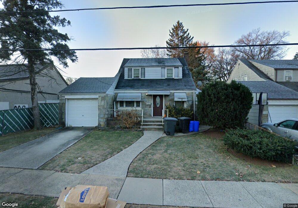
This home is located at 2010 Morrison Ave, Union, NJ 07083 and is currently estimated at $504,496. 2010 Morrison Ave is a home located in Union County with nearby schools including Franklin Elementary School, Burnet Middle School, and Union High School.
Ownership History
Date
Name
Owned For
Owner Type
Purchase Details
Closed on
Jun 27, 2000
Sold by
Page Tavia Ann
Bought by
Pettiford Evon J and Pettiford Mauri Y
Current Estimated Value
Home Financials for this Owner
Home Financials are based on the most recent Mortgage that was taken out on this home.
Original Mortgage
$154,921
Outstanding Balance
$56,691
Interest Rate
8.55%
Mortgage Type
FHA
Estimated Equity
$447,805
Purchase Details
Closed on
Aug 29, 1996
Sold by
Page James
Bought by
Page Tavia Ann
Create a Home Valuation Report for This Property
The Home Valuation Report is an in-depth analysis detailing your home's value as well as a comparison with similar homes in the area
Home Values in the Area
Average Home Value in this Area
Purchase History
| Date | Buyer | Sale Price | Title Company |
|---|---|---|---|
| Pettiford Evon J | $155,000 | -- | |
| Page Tavia Ann | $148,000 | Chicago Title Insurance Co | |
| Page Tavia Ann | $148,000 | -- |
Source: Public Records
Mortgage History
| Date | Status | Borrower | Loan Amount |
|---|---|---|---|
| Open | Pettiford Evon J | $154,921 |
Source: Public Records
Tax History Compared to Growth
Tax History
| Year | Tax Paid | Tax Assessment Tax Assessment Total Assessment is a certain percentage of the fair market value that is determined by local assessors to be the total taxable value of land and additions on the property. | Land | Improvement |
|---|---|---|---|---|
| 2025 | $9,901 | $44,300 | $19,500 | $24,800 |
| 2024 | $9,599 | $44,300 | $19,500 | $24,800 |
| 2023 | $9,599 | $44,300 | $19,500 | $24,800 |
| 2022 | $9,266 | $44,300 | $19,500 | $24,800 |
| 2021 | $9,041 | $44,300 | $19,500 | $24,800 |
| 2020 | $8,861 | $44,300 | $19,500 | $24,800 |
| 2019 | $8,742 | $44,300 | $19,500 | $24,800 |
| 2018 | $8,593 | $44,300 | $19,500 | $24,800 |
| 2017 | $8,466 | $44,300 | $19,500 | $24,800 |
| 2016 | $8,259 | $44,300 | $19,500 | $24,800 |
| 2015 | $8,122 | $44,300 | $19,500 | $24,800 |
| 2014 | $7,940 | $44,300 | $19,500 | $24,800 |
Source: Public Records
Map
Nearby Homes
- 2021 Tyler St
- 1396 Orange Ave
- 1871 Pilgrim Way
- 2144 Tyler St
- 1534 Julian Terrace
- 1535 Gregory Ave
- 1517 Lindy Terrace
- 2010 Gless Ave
- 1893 Arbor Ln
- 1481 Walker Ave
- 2220 Morrison Ave
- 2112 Gless Ave
- 1589 Edmund Terrace
- 1263 Coolidge Ave
- 2225 Stecher Ave
- 1249 Plane St
- 1244 Grandview Ave
- 1239 Victor Ave
- 1764 Colgate Place
- 1552 Elaine Terrace
- 2014 Morrison Ave
- 2018 Morrison Ave
- 2022 Morrison Ave
- 2013 Morrison Ave
- 1404 Stuyvesant Ave
- 2017 Morrison Ave
- 2024 Morrison Ave
- 2011 Stecher Ave
- 2011 Stecher Ave Unit B
- 1401 Cherry St
- 2015 Stecher Ave
- 1419 Stuyvesant Ave
- 2019 Stecher Ave
- 1405 Cherry St
- 2032 Morrison Ave
- 2021 Stecher Ave
- 2012 Walker Ave
- 2020 Walker Ave
- 2024 Walker Ave
- 2016 Walker Ave