Estimated Value: $271,000 - $377,774
--
Bed
--
Bath
--
Sq Ft
0.72
Acres
About This Home
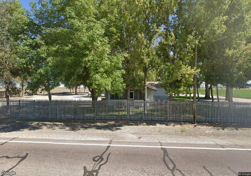
This home is located at 2010 N Jones Rd, Delta, UT 84624 and is currently estimated at $331,444. 2010 N Jones Rd is a home with nearby schools including Cba Center and White River Academy.
Ownership History
Date
Name
Owned For
Owner Type
Purchase Details
Closed on
Oct 10, 2017
Sold by
Jones Robert C
Bought by
Jones Dolores M
Current Estimated Value
Create a Home Valuation Report for This Property
The Home Valuation Report is an in-depth analysis detailing your home's value as well as a comparison with similar homes in the area
Home Values in the Area
Average Home Value in this Area
Purchase History
| Date | Buyer | Sale Price | Title Company |
|---|---|---|---|
| Jones Dolores M | -- | -- | |
| Jones Robert C | -- | -- |
Source: Public Records
Tax History Compared to Growth
Tax History
| Year | Tax Paid | Tax Assessment Tax Assessment Total Assessment is a certain percentage of the fair market value that is determined by local assessors to be the total taxable value of land and additions on the property. | Land | Improvement |
|---|---|---|---|---|
| 2025 | $1,508 | $185,868 | $19,250 | $166,618 |
| 2024 | $1,508 | $185,462 | $13,750 | $171,712 |
| 2023 | $1,697 | $185,462 | $13,750 | $171,712 |
| 2022 | $1,426 | $126,438 | $13,750 | $112,688 |
| 2021 | $1,114 | $95,360 | $12,100 | $83,260 |
| 2020 | $1,069 | $92,131 | $12,100 | $80,031 |
| 2019 | $1,030 | $89,618 | $12,100 | $77,518 |
| 2018 | $933 | $83,279 | $12,100 | $71,179 |
| 2017 | $935 | $79,979 | $8,800 | $71,179 |
| 2016 | $893 | $79,979 | $8,800 | $71,179 |
| 2015 | $892 | $79,979 | $8,800 | $71,179 |
| 2014 | -- | $79,979 | $8,800 | $71,179 |
| 2013 | -- | $65,423 | $8,800 | $56,623 |
Source: Public Records
Map
Nearby Homes
- 9000 W 1500 Rd N
- 98 W 1000 N
- 451 W 300 N
- 325 N 100 W
- 331 W 200 N
- 435 W 100 S
- 901 E 750 Rd N
- 163 W 100 S
- 242 S 400 W
- 294 S 300 W
- 7900 E 250 Rd N
- 0 E Highway 6 Unit LotWP001 16586023
- 445 Topaz Blvd Unit 10
- 461 Topaz Blvd Unit 6
- 628 Sunset St
- 629 E Millard St
- 44 E 300 S
- 328 S Center St
- 32 E 300 S
- 38 E 300 S