Estimated Value: $504,691 - $535,000
2
Beds
3
Baths
1,392
Sq Ft
$371/Sq Ft
Est. Value
About This Home
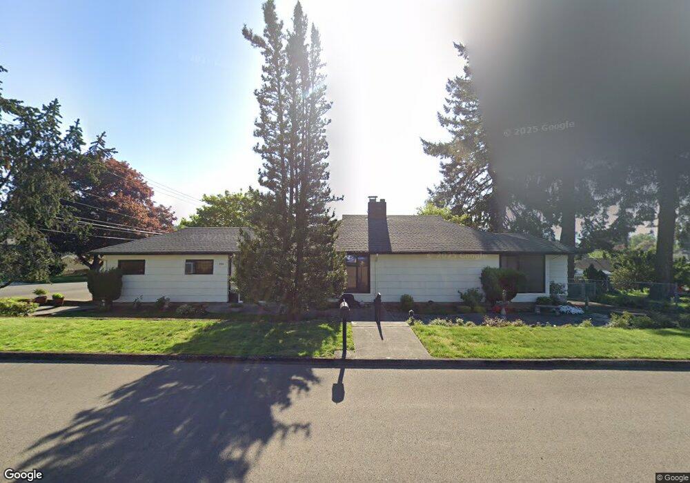
This home is located at 2010 NE Adams St, Camas, WA 98607 and is currently estimated at $516,423, approximately $370 per square foot. 2010 NE Adams St is a home located in Clark County with nearby schools including Helen Baller Elementary School, Liberty Middle School, and Camas High School.
Ownership History
Date
Name
Owned For
Owner Type
Purchase Details
Closed on
Apr 22, 2021
Sold by
Martin Trevor and Martin Avrill
Bought by
Martin Trevor and Martin Avrill
Current Estimated Value
Purchase Details
Closed on
Oct 20, 2005
Sold by
Richardson Lewis L
Bought by
Martin Trevor and Martin Avrill
Home Financials for this Owner
Home Financials are based on the most recent Mortgage that was taken out on this home.
Original Mortgage
$125,000
Outstanding Balance
$66,568
Interest Rate
5.68%
Mortgage Type
Fannie Mae Freddie Mac
Estimated Equity
$449,855
Create a Home Valuation Report for This Property
The Home Valuation Report is an in-depth analysis detailing your home's value as well as a comparison with similar homes in the area
Home Values in the Area
Average Home Value in this Area
Purchase History
| Date | Buyer | Sale Price | Title Company |
|---|---|---|---|
| Martin Trevor | -- | None Available | |
| Martin Trevor | $205,000 | Fidelity National Title |
Source: Public Records
Mortgage History
| Date | Status | Borrower | Loan Amount |
|---|---|---|---|
| Open | Martin Trevor | $125,000 |
Source: Public Records
Tax History Compared to Growth
Tax History
| Year | Tax Paid | Tax Assessment Tax Assessment Total Assessment is a certain percentage of the fair market value that is determined by local assessors to be the total taxable value of land and additions on the property. | Land | Improvement |
|---|---|---|---|---|
| 2025 | $500 | $400,835 | $116,414 | $284,421 |
| 2024 | $471 | $460,104 | $176,949 | $283,155 |
| 2023 | $494 | $467,713 | $175,028 | $292,685 |
| 2022 | $1,047 | $447,814 | $168,253 | $279,561 |
| 2021 | $1,128 | $378,610 | $142,025 | $236,585 |
| 2020 | $1,133 | $333,843 | $123,399 | $210,444 |
| 2019 | $1,585 | $318,972 | $116,414 | $202,558 |
| 2018 | $1,655 | $250,354 | $0 | $0 |
| 2017 | $3,333 | $272,539 | $0 | $0 |
| 2016 | $2,943 | $250,354 | $0 | $0 |
| 2015 | $2,866 | $219,881 | $0 | $0 |
| 2014 | -- | $201,928 | $0 | $0 |
| 2013 | -- | $181,766 | $0 | $0 |
Source: Public Records
Map
Nearby Homes
- 124 NW 18th Ave
- 1623 Division St
- 2052 NW Fargo Loop
- 441 NW 15th Ave
- 1303 Division St
- 2120 NW Fargo Loop
- 2160 NW Fargo Loop
- 2149 NW Fargo Loop
- 719 NE Dallas St Unit A4
- 632 NE Everett St
- 737 NW 20th Ave
- 536 NW 10th Ave
- 535 NW 9th Ave
- 715 NW 10th Ave
- 912 NW Fargo St
- 541 NW 8th Ave
- 1146 NW 23rd Ave Unit A1
- 924 NE 3rd Ave
- 615 NW 7th Ave
- 907 NW Greeley St
- 222 NE 21st Ave
- 205 NE 21st Ave
- 221 NE 21st Ave
- 2041 NE Birch St
- 1940 NE Adams St
- 2009 NE Adams St
- 2013 NE Birch St
- 2003 NE Adams St
- 1929 NE Adams St
- 1941 NE Birch St
- 141 NE 21st Ave
- 1930 NE Adams St
- 2113 NE Birch St
- 1931 NE Birch St
- 127 NE 21st Ave
- 2040 NE Birch St
- 1920 NE Adams St
- 2012 Division St
- 1917 NE Adams St
- 2002 Division St