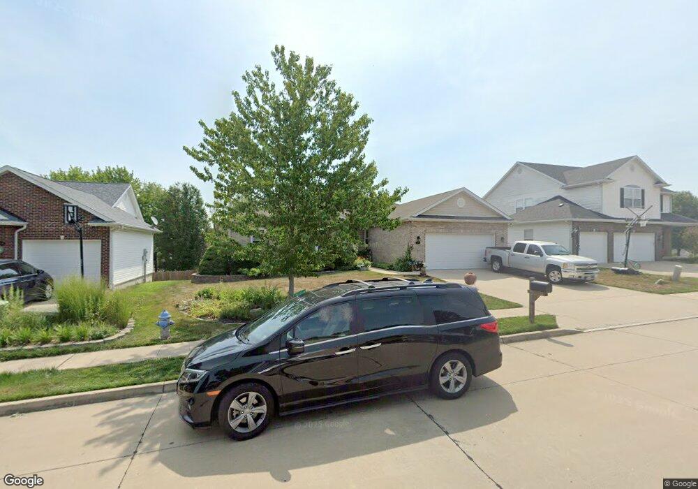
2010 Shale Ridge Ct Columbia, MO 65203
Estimated Value: $361,000 - $438,000
5
Beds
2
Baths
2,591
Sq Ft
$157/Sq Ft
Est. Value
About This Home
This home is located at 2010 Shale Ridge Ct, Columbia, MO 65203 and is currently estimated at $405,922, approximately $156 per square foot. 2010 Shale Ridge Ct is a home located in Boone County with nearby schools including Beulah Ralph Elementary School, Jefferson Middle School, and Rock Bridge High School.
Ownership History
Date
Name
Owned For
Owner Type
Purchase Details
Closed on
Feb 4, 2005
Sold by
Vollrath Dennis R and Vollrath Debbie L
Bought by
Mayer Warren E and Mayer Michele R
Current Estimated Value
Home Financials for this Owner
Home Financials are based on the most recent Mortgage that was taken out on this home.
Original Mortgage
$185,200
Outstanding Balance
$94,444
Interest Rate
5.8%
Mortgage Type
New Conventional
Estimated Equity
$311,478
Create a Home Valuation Report for This Property
The Home Valuation Report is an in-depth analysis detailing your home's value as well as a comparison with similar homes in the area
Home Values in the Area
Average Home Value in this Area
Purchase History
| Date | Buyer | Sale Price | Title Company |
|---|---|---|---|
| Mayer Warren E | -- | None Available |
Source: Public Records
Mortgage History
| Date | Status | Borrower | Loan Amount |
|---|---|---|---|
| Open | Mayer Warren E | $185,200 |
Source: Public Records
Tax History Compared to Growth
Tax History
| Year | Tax Paid | Tax Assessment Tax Assessment Total Assessment is a certain percentage of the fair market value that is determined by local assessors to be the total taxable value of land and additions on the property. | Land | Improvement |
|---|---|---|---|---|
| 2025 | $3,253 | $55,214 | $6,422 | $48,792 |
| 2024 | $3,253 | $48,222 | $6,422 | $41,800 |
| 2023 | $3,226 | $48,222 | $6,422 | $41,800 |
| 2022 | $2,984 | $44,650 | $6,422 | $38,228 |
| 2021 | $2,990 | $44,650 | $6,422 | $38,228 |
| 2020 | $3,060 | $42,938 | $6,422 | $36,516 |
| 2019 | $3,060 | $42,938 | $6,422 | $36,516 |
| 2018 | $2,963 | $0 | $0 | $0 |
| 2017 | $2,927 | $41,287 | $6,422 | $34,865 |
| 2016 | $3,004 | $41,287 | $6,422 | $34,865 |
| 2015 | $2,771 | $41,287 | $6,422 | $34,865 |
| 2014 | -- | $41,287 | $6,422 | $34,865 |
Source: Public Records
Map
Nearby Homes
- 4804 Cedar Coals Ct
- 4708 W Gillespie Bridge Rd
- 00 W Gillespie Bridge Rd
- 1806 Stillpoint Ct
- 5006 Craydon Dr
- 1704 Stillpoint Ct
- 2403 Hartford Rd
- 1700 Stillpoint Ct
- 4600 W Georgetown Dr
- 5013 City Hill Ct
- 2301 Corona Rd
- 2414 Grandview Cir
- 2509 Longview Dr
- 1680 S Louisville Dr
- 4208 Current Rd
- 1710 Swift Ct
- 4205 Grant Ln
- 2911 Lake Town Dr
- 2706 Chambray Rd
- 0 W Gillespie Bridge Rd
- 2008 Shale Ridge Ct
- 2012 Shale Ridge Ct
- 2003 Flat Rock Place
- 2006 Shale Ridge Ct
- 2001 Flat Rock Place
- 2005 Flat Rock Place
- 2011 Shale Ridge Ct
- 2013 Shale Ridge Ct
- 1905 Flat Rock Place
- 2004 Shale Ridge Ct
- 2007 Shale Ridge Ct
- 4800 Marble Cedars Dr
- 4710 Marble Cedars Dr
- 4802 Marble Cedars Dr
- 1903 Flat Rock Place
- 2005 Shale Ridge Ct
- 2004 Granite Oak Ct
- 4706 Cedar Rock Ct
- 2002 Flat Rock Place
- 2002 Granite Oaks Ct