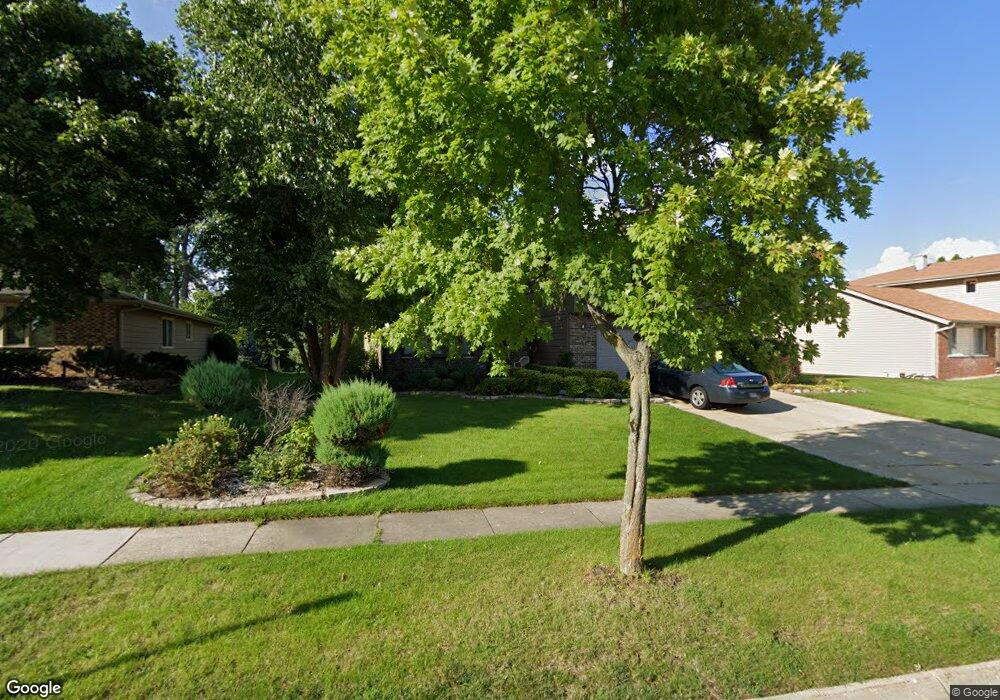
2010 Sherborn Ln Schaumburg, IL 60193
West Schaumburg NeighborhoodEstimated Value: $501,839 - $528,000
3
Beds
2
Baths
1,992
Sq Ft
$259/Sq Ft
Est. Value
About This Home
This home is located at 2010 Sherborn Ln, Schaumburg, IL 60193 and is currently estimated at $516,210, approximately $259 per square foot. 2010 Sherborn Ln is a home located in Cook County with nearby schools including Campanelli Elementary School, Jane Addams Junior High School, and Hoffman Estates High School.
Ownership History
Date
Name
Owned For
Owner Type
Purchase Details
Closed on
Oct 31, 2001
Sold by
Brown Donna M
Bought by
Brown Gerald R and Brown Donna M
Current Estimated Value
Home Financials for this Owner
Home Financials are based on the most recent Mortgage that was taken out on this home.
Original Mortgage
$80,000
Outstanding Balance
$31,084
Interest Rate
6.64%
Estimated Equity
$485,127
Purchase Details
Closed on
Feb 18, 1997
Sold by
Brown Gerald R and Brown Donna M
Bought by
Brown Donna M and Brown Wayne Mary
Create a Home Valuation Report for This Property
The Home Valuation Report is an in-depth analysis detailing your home's value as well as a comparison with similar homes in the area
Home Values in the Area
Average Home Value in this Area
Purchase History
| Date | Buyer | Sale Price | Title Company |
|---|---|---|---|
| Brown Gerald R | -- | -- | |
| Brown Gerald R | -- | -- | |
| Brown Donna M | -- | -- |
Source: Public Records
Mortgage History
| Date | Status | Borrower | Loan Amount |
|---|---|---|---|
| Open | Brown Gerald R | $80,000 |
Source: Public Records
Tax History Compared to Growth
Tax History
| Year | Tax Paid | Tax Assessment Tax Assessment Total Assessment is a certain percentage of the fair market value that is determined by local assessors to be the total taxable value of land and additions on the property. | Land | Improvement |
|---|---|---|---|---|
| 2024 | $8,854 | $37,576 | $8,576 | $29,000 |
| 2023 | $8,535 | $37,576 | $8,576 | $29,000 |
| 2022 | $8,535 | $37,576 | $8,576 | $29,000 |
| 2021 | $7,500 | $30,739 | $6,164 | $24,575 |
| 2020 | $7,493 | $30,739 | $6,164 | $24,575 |
| 2019 | $7,500 | $34,155 | $6,164 | $27,991 |
| 2018 | $7,612 | $31,546 | $5,092 | $26,454 |
| 2017 | $8,114 | $33,545 | $5,092 | $28,453 |
| 2016 | $8,084 | $33,545 | $5,092 | $28,453 |
| 2015 | $7,576 | $28,697 | $4,556 | $24,141 |
| 2014 | $7,514 | $28,697 | $4,556 | $24,141 |
| 2013 | $7,299 | $28,697 | $4,556 | $24,141 |
Source: Public Records
Map
Nearby Homes
- 1939 Weston Ln
- 135 S Walnut Ln
- 136 Caryville Ln
- 227 S Walnut Ln
- 1933 Whittier Ln
- 231 Webster Ln
- 2317 Broadway Ln
- 124 Westover Ln
- 2404 Baldwin Ct
- 8181 Northway Dr
- 133 White Branch Ct S Unit 539
- 413 Linsey Ave
- 8138 N Carrolton Ct
- 2128 Hitching Post Ln
- 198 Camden Ct Unit Z2
- 1614 Kingston Ln
- 200 Columbia Ct Unit 5
- 508 N Walnut Ln
- 454 Willington Dr
- 630 S Walnut Ln
- 2014 Sherborn Ln
- 2006 Sherborn Ln
- 2020 Sherborn Ln
- 28 S Walnut Ln
- 32 S Walnut Ln
- 100 Lynnfield Ln
- 101 Lynnfield Ln
- 2024 Sherborn Ln
- 21 Mendon Ln Unit FOURB
- 101 Mendon Ln
- 104 Lynnfield Ln
- 17 Mendon Ln
- 105 Lynnfield Ln
- 105 Mendon Ln
- 13 Mendon Ln Unit 4B
- 110 S Walnut Ln
- 108 Lynnfield Ln
- 33 S Walnut Ln
- 109 Lynnfield Ln
- 24 Mendon Ln