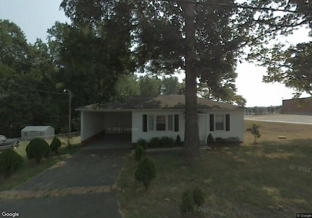
2010 Southview Rd Lexington, NC 27292
Estimated Value: $63,000 - $151,000
2
Beds
1
Bath
1,044
Sq Ft
$112/Sq Ft
Est. Value
About This Home
This home is located at 2010 Southview Rd, Lexington, NC 27292 and is currently estimated at $117,126, approximately $112 per square foot. 2010 Southview Rd is a home located in Davidson County with nearby schools including Southwood Elementary School, Central Davidson Middle School, and Central Davidson High School.
Ownership History
Date
Name
Owned For
Owner Type
Purchase Details
Closed on
Aug 18, 2006
Sold by
Warner Darrell Steven
Bought by
Owen William Charles and Owen Kerrie Tollie
Current Estimated Value
Home Financials for this Owner
Home Financials are based on the most recent Mortgage that was taken out on this home.
Original Mortgage
$35,000
Outstanding Balance
$20,956
Interest Rate
6.71%
Mortgage Type
Purchase Money Mortgage
Estimated Equity
$96,170
Purchase Details
Closed on
May 26, 2006
Sold by
Mccarn Connie B and Warner Darrell Steven
Bought by
Warner Darrell Steven
Purchase Details
Closed on
Jul 1, 1997
Create a Home Valuation Report for This Property
The Home Valuation Report is an in-depth analysis detailing your home's value as well as a comparison with similar homes in the area
Home Values in the Area
Average Home Value in this Area
Purchase History
| Date | Buyer | Sale Price | Title Company |
|---|---|---|---|
| Owen William Charles | $35,000 | None Available | |
| Warner Darrell Steven | -- | None Available | |
| -- | -- | -- |
Source: Public Records
Mortgage History
| Date | Status | Borrower | Loan Amount |
|---|---|---|---|
| Open | Owen William Charles | $35,000 |
Source: Public Records
Tax History Compared to Growth
Tax History
| Year | Tax Paid | Tax Assessment Tax Assessment Total Assessment is a certain percentage of the fair market value that is determined by local assessors to be the total taxable value of land and additions on the property. | Land | Improvement |
|---|---|---|---|---|
| 2025 | $369 | $57,570 | $0 | $0 |
| 2024 | $369 | $57,570 | $0 | $0 |
| 2023 | $374 | $57,570 | $0 | $0 |
| 2022 | $369 | $57,570 | $0 | $0 |
| 2021 | $369 | $57,570 | $0 | $0 |
| 2020 | $357 | $55,710 | $0 | $0 |
| 2019 | $677 | $55,710 | $0 | $0 |
| 2018 | $362 | $55,710 | $0 | $0 |
| 2017 | $362 | $55,710 | $0 | $0 |
| 2016 | $362 | $55,710 | $0 | $0 |
| 2015 | $362 | $55,710 | $0 | $0 |
| 2014 | $409 | $62,850 | $0 | $0 |
Source: Public Records
Map
Nearby Homes
- 303 Bill Lohr Rd
- 1903 Cotton Grove Rd
- 400 Glendale Rd
- 337 Owens Rd
- 324 Kimberly Ln
- 370 Shannon Dr
- 178 Fisher St
- 300 Trantham Dr
- 150 Avenue B
- 144 Brown St
- 1235 Fairview Dr
- 734 Brown St
- 644 Brown St
- 1301 Cotton Grove Rd
- 00 Old Linwood Rd
- 0 Old Linwood Rd Unit 1146295
- 217 Peace Haven Dr
- 1120 Country Club Dr
- 969 Old Linwood Rd
- 135 Morgans Way Ln
- 2012 Southview Rd
- 2008 Southview Rd
- 14 Rogers Rd
- 2015 Southview Rd
- 12 Rogers Rd
- 104 Rogers Rd
- 2011 Southview Rd
- 2004 Southview Rd
- 8 Rogers Rd
- 8 Rogers Rd
- 2003 Southview Rd
- 101 Oakdale St
- 99 Oakdale St
- 103 Oakdale St
- 2008 Cotton Grove Rd
- 109 Oakdale St
- 109 Oakdale St
- 111 Oakdale St
- 102 Oakdale St
- 1922 Southview Rd