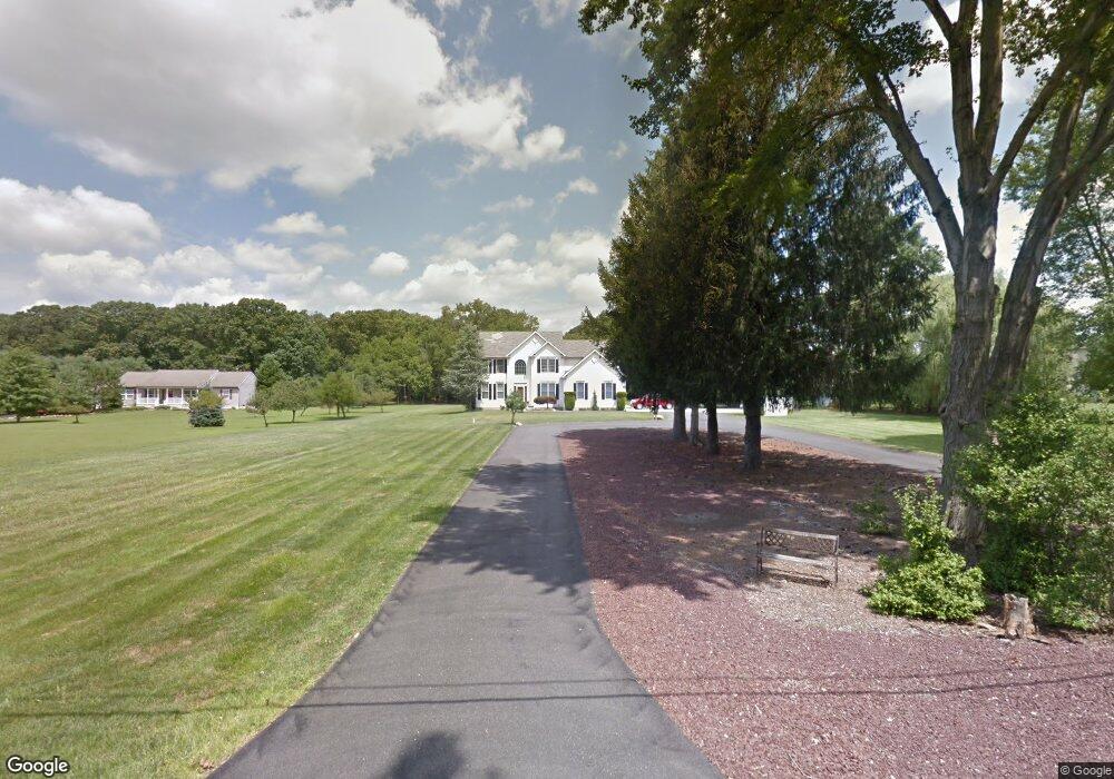
2010 Stanger Ave Williamstown, NJ 08094
Estimated Value: $567,266 - $667,000
--
Bed
--
Bath
2,875
Sq Ft
$213/Sq Ft
Est. Value
About This Home
This home is located at 2010 Stanger Ave, Williamstown, NJ 08094 and is currently estimated at $613,567, approximately $213 per square foot. 2010 Stanger Ave is a home located in Gloucester County with nearby schools including Williamstown High School and Beacon Academy.
Ownership History
Date
Name
Owned For
Owner Type
Purchase Details
Closed on
Aug 20, 2024
Sold by
Arot Ned J and Schaffer Regina
Bought by
Schaffer William J and Schaffer Regina
Current Estimated Value
Purchase Details
Closed on
Apr 16, 1999
Sold by
Tirro Bart
Bought by
Schaffer William J and Schaffer Regina
Home Financials for this Owner
Home Financials are based on the most recent Mortgage that was taken out on this home.
Original Mortgage
$45,000
Interest Rate
7.02%
Purchase Details
Closed on
Mar 9, 1999
Sold by
Tirro Bart
Bought by
Tirro Bart
Home Financials for this Owner
Home Financials are based on the most recent Mortgage that was taken out on this home.
Original Mortgage
$45,000
Interest Rate
7.02%
Purchase Details
Closed on
Dec 30, 1998
Sold by
Fullbrook Caroline
Bought by
Tirro Bart
Create a Home Valuation Report for This Property
The Home Valuation Report is an in-depth analysis detailing your home's value as well as a comparison with similar homes in the area
Home Values in the Area
Average Home Value in this Area
Purchase History
| Date | Buyer | Sale Price | Title Company |
|---|---|---|---|
| Schaffer William J | -- | Core Title | |
| Schaffer William J | $54,900 | -- | |
| Tirro Bart | -- | -- | |
| Tirro Bart | $113,000 | -- |
Source: Public Records
Mortgage History
| Date | Status | Borrower | Loan Amount |
|---|---|---|---|
| Previous Owner | Schaffer William J | $45,000 |
Source: Public Records
Tax History Compared to Growth
Tax History
| Year | Tax Paid | Tax Assessment Tax Assessment Total Assessment is a certain percentage of the fair market value that is determined by local assessors to be the total taxable value of land and additions on the property. | Land | Improvement |
|---|---|---|---|---|
| 2025 | $12,440 | $420,300 | $73,600 | $346,700 |
| 2024 | $12,348 | $339,700 | $67,500 | $272,200 |
| 2023 | $12,348 | $339,700 | $67,500 | $272,200 |
| 2022 | $12,290 | $339,700 | $67,500 | $272,200 |
| 2021 | $12,364 | $339,700 | $67,500 | $272,200 |
| 2020 | $12,355 | $339,700 | $67,500 | $272,200 |
| 2019 | $12,280 | $339,700 | $67,500 | $272,200 |
| 2018 | $12,080 | $339,700 | $67,500 | $272,200 |
| 2017 | $10,555 | $298,000 | $69,400 | $228,600 |
| 2016 | $10,421 | $298,000 | $69,400 | $228,600 |
| 2015 | $10,123 | $298,000 | $69,400 | $228,600 |
| 2014 | $9,828 | $298,000 | $69,400 | $228,600 |
Source: Public Records
Map
Nearby Homes
- 1824 Arlington Dr
- Aria Plan at Blaze Mill
- Ballad Plan at Blaze Mill
- Cadence Plan at Blaze Mill
- 28 Sand Hills Dr
- 1729 Biden Ln
- 1714 Biden Ln
- 1401 Sundrop Ct
- 1201 Whispering Woods Dr
- 1566 Pitman Downer Rd
- 11 Bacon St
- 1856 York Ave
- 1405 Heath Ct
- 1850 York Ave
- 1825 Hessian Dr
- Wedgewood Plan at The Greens
- Greenbrier Plan at The Greens
- Woodcrest Plan at The Greens
- 41 Prestwick Ln
- 39 Prestwick Ln
- 2005 Paddock Ln
- 2030 Stanger Ave
- 2009 Paddock Ln
- 2011 Paddock Ln
- 2001 Paddock Ln
- 2015 Paddock Ln
- 2019 Paddock Ln
- 2042 Stanger Ave
- 2004 Paddock Ln
- 2008 Paddock Ln
- 2012 Paddock Ln
- 2000 Paddock Ln
- 2016 Paddock Ln
- 2023 Paddock Ln
- 1999 Stanger Ave
- 2033 Stanger Ave
- 2027 Paddock Ln
- 2037 Stanger Ave
- 2056 Stanger Ave
- 2024 Paddock Ln