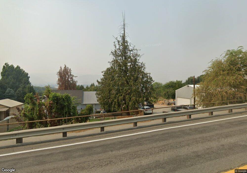
2010 Sunset Hwy N East Wenatchee, WA 98802
Estimated Value: $380,248 - $451,000
2
Beds
1
Bath
1,187
Sq Ft
$351/Sq Ft
Est. Value
About This Home
This home is located at 2010 Sunset Hwy N, East Wenatchee, WA 98802 and is currently estimated at $417,062, approximately $351 per square foot. 2010 Sunset Hwy N is a home located in Douglas County with nearby schools including Cascade Elementary School, Lee Elementary School, and Sterling Intermediate School.
Ownership History
Date
Name
Owned For
Owner Type
Purchase Details
Closed on
Aug 29, 2005
Sold by
Dickinson Robert and Putman Sandra
Bought by
Bybee Raymond E
Current Estimated Value
Home Financials for this Owner
Home Financials are based on the most recent Mortgage that was taken out on this home.
Original Mortgage
$120,000
Outstanding Balance
$64,804
Interest Rate
6%
Mortgage Type
Adjustable Rate Mortgage/ARM
Estimated Equity
$352,258
Create a Home Valuation Report for This Property
The Home Valuation Report is an in-depth analysis detailing your home's value as well as a comparison with similar homes in the area
Home Values in the Area
Average Home Value in this Area
Purchase History
| Date | Buyer | Sale Price | Title Company |
|---|---|---|---|
| Bybee Raymond E | $150,000 | None Available |
Source: Public Records
Mortgage History
| Date | Status | Borrower | Loan Amount |
|---|---|---|---|
| Open | Bybee Raymond E | $120,000 |
Source: Public Records
Tax History Compared to Growth
Tax History
| Year | Tax Paid | Tax Assessment Tax Assessment Total Assessment is a certain percentage of the fair market value that is determined by local assessors to be the total taxable value of land and additions on the property. | Land | Improvement |
|---|---|---|---|---|
| 2025 | $135 | $261,700 | $167,000 | $94,700 |
| 2024 | $2,390 | $263,300 | $167,000 | $96,300 |
| 2023 | $2,696 | $257,000 | $167,000 | $90,000 |
| 2022 | $2,234 | $195,500 | $117,000 | $78,500 |
| 2021 | $2,378 | $195,500 | $117,000 | $78,500 |
| 2020 | $2,013 | $192,200 | $117,000 | $75,200 |
| 2018 | $1,529 | $117,800 | $78,100 | $39,700 |
| 2017 | $1,406 | $117,800 | $78,100 | $39,700 |
| 2016 | $1,276 | $116,600 | $78,100 | $38,500 |
| 2015 | $1,285 | $112,200 | $78,100 | $34,100 |
| 2014 | -- | $108,400 | $78,100 | $30,300 |
| 2013 | -- | $107,500 | $78,100 | $29,400 |
Source: Public Records
Map
Nearby Homes
- 3230 NW Chadwick (Lot 26) Loop
- 3229 NW Chadwick (Lot 33) Loop
- 214 Solomon Loop NW
- 208 Solomon Loop NW
- 0 xxxx NW Cascade Ave
- 211 21st St NW
- 232 Solomon Loop NW
- 225 19th St NE Unit 31
- 225 19th St NE Unit 23
- 2301 NW Cascade Ave
- 351 19th St NE Unit 26
- 351 19th St NE Unit 21
- 1840 Country Club Dr
- 2407 N Aurora Ave
- 3234 NW Chadwick (Lot 25) Loop
- 326 23rd St NE
- 2335 Columbia Ave NW
- 2434 NW Alan Ave
- 274 NW Chinook Way
- 1992 Stoneridge Dr
- 1934 Sunset Hwy N
- 2017 NW Bates Ave
- 2030 Sunset Hwy
- 2021 Sunset Hwy N
- 2029 Sunset Hwy N
- 1930 Sunset Hwy N
- 2009 NW Bates Ave
- 1929 Sunset Hwy N
- 6 21st St NW
- 8 21st St NW
- 2 21st St NW
- 12 21st St NW
- 1927 Sunset Hwy N
- 10 21st St NW
- 1933 NW Bates Ave
- 18 21st St NW
- 1925 Sunset Hwy N
- 1922 Sunset Hwy N
- 2032 N Ashland Ave
- 2010 N Ashland Ave