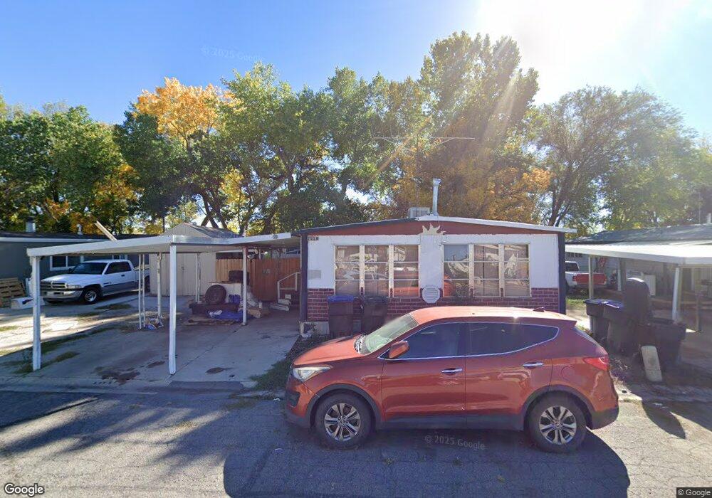
2010 W 350 N Unit 11 Provo, UT 84601
Lakeview Neighborhood
3
Beds
2
Baths
1,152
Sq Ft
5,227
Sq Ft Lot
About This Home
This home is located at 2010 W 350 N Unit 11, Provo, UT 84601. 2010 W 350 N Unit 11 is a home located in Utah County with nearby schools including Dixon Middle School, Provo High School, and Freedom Preparatory Academy.
Ownership History
Date
Name
Owned For
Owner Type
Purchase Details
Closed on
May 26, 2023
Sold by
Staker Scott
Bought by
Sanpitch Holdings Llc
Purchase Details
Closed on
Dec 18, 2002
Sold by
Washington Mutual Bank
Bought by
Staker Scott
Purchase Details
Closed on
Aug 22, 2002
Sold by
Nelson Kenneth H and Nelson Stephanie A
Bought by
Washington Mutual Bank
Purchase Details
Closed on
Apr 15, 2002
Sold by
Nelson Kenneth H and Nelson Stephanie A
Bought by
Atlas Properties Llc
Purchase Details
Closed on
Nov 4, 1996
Sold by
Siemer Robert L and Murdock Marie K
Bought by
Nelson Kenneth H and Nelson Stephanie A
Home Financials for this Owner
Home Financials are based on the most recent Mortgage that was taken out on this home.
Original Mortgage
$32,000
Interest Rate
8.14%
Mortgage Type
Purchase Money Mortgage
Create a Home Valuation Report for This Property
The Home Valuation Report is an in-depth analysis detailing your home's value as well as a comparison with similar homes in the area
Home Values in the Area
Average Home Value in this Area
Purchase History
| Date | Buyer | Sale Price | Title Company |
|---|---|---|---|
| Sanpitch Holdings Llc | -- | None Listed On Document | |
| Staker Scott | -- | Equity Title Agency Inc | |
| Washington Mutual Bank | $57,956 | -- | |
| Atlas Properties Llc | -- | -- | |
| Nelson Kenneth H | -- | -- |
Source: Public Records
Mortgage History
| Date | Status | Borrower | Loan Amount |
|---|---|---|---|
| Previous Owner | Nelson Kenneth H | $32,000 |
Source: Public Records
Tax History Compared to Growth
Map
Nearby Homes
- 392 N 2150 W
- 201 N Geneva Rd Unit 3
- 2216 W 480 N
- 255 N 1600 W Unit 148
- 255 N 1600 W Unit 52
- 255 N 1600 W Unit 84
- 255 N 1600 W Unit 108
- 1744 W 150 N
- 398 N 2380 W
- 227 West Ln
- 582 N 2310 W
- 1828 W 170 S
- 154 N 2560 W
- 147 S 1680 W
- 927 Independence Ave
- 1375 W 500 N Unit 95
- 273 S 1860 W
- 312 S 1920 W
- 962 Independence Ave
- 2727 W 220 N