2010 Winding Way Hammonton, NJ 08037
Estimated Value: $314,000 - $426,000
4
Beds
2
Baths
1,161
Sq Ft
$313/Sq Ft
Est. Value
About This Home
This home is located at 2010 Winding Way, Hammonton, NJ 08037 and is currently estimated at $363,011, approximately $312 per square foot. 2010 Winding Way is a home located in Atlantic County with nearby schools including Joseph Shaner School, George L. Hess Educational Complex, and William Davies Middle School.
Ownership History
Date
Name
Owned For
Owner Type
Purchase Details
Closed on
Sep 16, 2009
Sold by
Basiura Russell J
Bought by
Dougherty William B and Farley Dougherty Adriane M
Current Estimated Value
Home Financials for this Owner
Home Financials are based on the most recent Mortgage that was taken out on this home.
Original Mortgage
$232,753
Outstanding Balance
$152,914
Interest Rate
5.28%
Mortgage Type
FHA
Estimated Equity
$210,097
Purchase Details
Closed on
Jun 30, 2003
Sold by
Mcalister Albert T and Mcalister Rose C
Bought by
Basiura Russell J
Create a Home Valuation Report for This Property
The Home Valuation Report is an in-depth analysis detailing your home's value as well as a comparison with similar homes in the area
Home Values in the Area
Average Home Value in this Area
Purchase History
| Date | Buyer | Sale Price | Title Company |
|---|---|---|---|
| Dougherty William B | $247,500 | Landis Title Corporation | |
| Basiura Russell J | $195,000 | Fidelity National Title |
Source: Public Records
Mortgage History
| Date | Status | Borrower | Loan Amount |
|---|---|---|---|
| Open | Dougherty William B | $232,753 |
Source: Public Records
Tax History Compared to Growth
Tax History
| Year | Tax Paid | Tax Assessment Tax Assessment Total Assessment is a certain percentage of the fair market value that is determined by local assessors to be the total taxable value of land and additions on the property. | Land | Improvement |
|---|---|---|---|---|
| 2025 | $6,286 | $183,200 | $58,000 | $125,200 |
| 2024 | $6,286 | $183,200 | $58,000 | $125,200 |
| 2023 | $5,910 | $183,200 | $58,000 | $125,200 |
| 2022 | $5,910 | $183,200 | $58,000 | $125,200 |
| 2021 | $5,897 | $183,200 | $58,000 | $125,200 |
| 2020 | $5,897 | $183,200 | $58,000 | $125,200 |
| 2019 | $5,912 | $183,200 | $58,000 | $125,200 |
| 2018 | $5,705 | $183,200 | $58,000 | $125,200 |
| 2017 | $5,615 | $183,200 | $58,000 | $125,200 |
| 2016 | $5,458 | $183,200 | $58,000 | $125,200 |
| 2015 | $5,273 | $183,200 | $58,000 | $125,200 |
| 2014 | $5,246 | $199,700 | $67,000 | $132,700 |
Source: Public Records
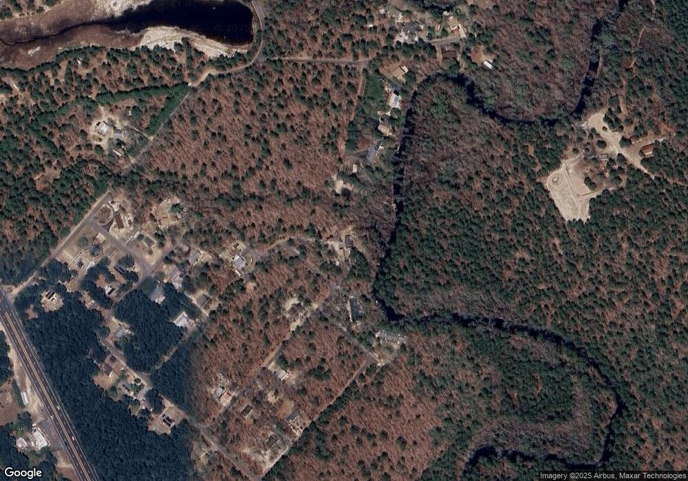
Map
Nearby Homes
- 2015 High Bank Rd
- 7640 Black Horse Pike
- 7684 E Black Horse Pike
- 7411 Black Horse Pike
- 7390 Black Horse Pike
- 1930 Mccall Ave
- 7351 Driftwood Ln
- 2216 Evergreen Dr
- 2212 Evergreen Dr
- 3117 N Pinewood Dr
- 7417 3rd Ave
- 7415 3rd Ave
- First 1st Ave
- 7322 Black Horse Pike
- 1307 Black Horse Pike
- 1601 Mccall Ave
- 7491 Smith Ave
- 1 Belmont Ave
- 7571 Strand Ave
- 1528 Mays Landing Rd
- 2020 Little Eagle Dr
- 2014 Winding Way
- 2011 Deer Track Ln
- 2024 Little Eagle Dr
- 2016 Winding Way
- 2011 Bear Claw Ln
- 2026 Little Eagle Dr
- 2009 Deer Track Ln
- 2020 Ballard Dr
- 2008 Deer Track Ln
- 2010 Blue Fox Ln
- 2007 Bear Claw Ln
- 2030 Ballard Dr
- 2006 Deer Track Ln
- 2008 Blue Fox Ln
- 2005 Mohrfield Dr
- 2011 Blue Fox Ln
- 2003 Deer Track Ln
- 2006 Blue Fox Ln
- 2004 Deer Track Ln