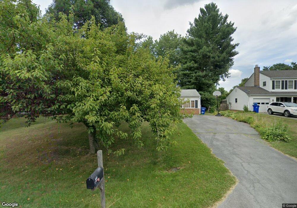
20101 Westerly Ave Poolesville, MD 20837
Estimated Value: $579,363 - $699,000
3
Beds
3
Baths
1,599
Sq Ft
$398/Sq Ft
Est. Value
About This Home
This home is located at 20101 Westerly Ave, Poolesville, MD 20837 and is currently estimated at $636,841, approximately $398 per square foot. 20101 Westerly Ave is a home located in Montgomery County with nearby schools including Poolesville Elementary School, John H. Poole Middle School, and Poolesville High School.
Ownership History
Date
Name
Owned For
Owner Type
Purchase Details
Closed on
Aug 12, 1999
Sold by
Bell Marc L and M Et J
Bought by
Gorres Mark G and Gorres B N
Current Estimated Value
Purchase Details
Closed on
Jul 26, 1994
Sold by
Bayne Kathryn A
Bought by
Bellet Marc L
Home Financials for this Owner
Home Financials are based on the most recent Mortgage that was taken out on this home.
Original Mortgage
$162,000
Interest Rate
8.19%
Create a Home Valuation Report for This Property
The Home Valuation Report is an in-depth analysis detailing your home's value as well as a comparison with similar homes in the area
Home Values in the Area
Average Home Value in this Area
Purchase History
| Date | Buyer | Sale Price | Title Company |
|---|---|---|---|
| Gorres Mark G | $202,900 | -- | |
| Bellet Marc L | $180,000 | -- |
Source: Public Records
Mortgage History
| Date | Status | Borrower | Loan Amount |
|---|---|---|---|
| Previous Owner | Bellet Marc L | $162,000 |
Source: Public Records
Tax History
| Year | Tax Paid | Tax Assessment Tax Assessment Total Assessment is a certain percentage of the fair market value that is determined by local assessors to be the total taxable value of land and additions on the property. | Land | Improvement |
|---|---|---|---|---|
| 2025 | $5,258 | $428,033 | -- | -- |
| 2024 | $5,258 | $404,900 | $184,600 | $220,300 |
| 2023 | $5,647 | $386,167 | $0 | $0 |
| 2022 | $3,883 | $367,433 | $0 | $0 |
| 2021 | $3,604 | $348,700 | $184,600 | $164,100 |
| 2020 | $3,604 | $345,333 | $0 | $0 |
| 2019 | $3,570 | $341,967 | $0 | $0 |
| 2018 | $3,541 | $338,600 | $184,600 | $154,000 |
| 2017 | $3,515 | $331,667 | $0 | $0 |
| 2016 | -- | $324,733 | $0 | $0 |
| 2015 | $3,139 | $317,800 | $0 | $0 |
| 2014 | $3,139 | $317,800 | $0 | $0 |
Source: Public Records
Map
Nearby Homes
- 17116 Chiswell Rd
- 17425 Hughes Rd
- 19656 Wootton Ave
- 19110 Tatie Way
- 17403 Fyffe Rd
- 17100 Evans Way
- 19507 Fisher Ave Unit (LOT 3)
- 19509 Fisher Ave Unit (LOT 2)
- 19505 Fisher Ave Unit (LOT 1)
- 19225 Walters Ave
- 17108 Wild Turkey Way
- 0 Wild Turkey Way
- 21331 Big Woods Rd
- 17112 Wild Turkey Way
- 0 Beallsville Rd Unit MDMC2136882
- 18524 Beallsville Rd
- 21100 W Offutt Rd
- 0 Peach Tree Rd Unit MDMC2210762
- 18820 Wasche Rd
- 15701 Edwards Ferry Rd
- 20013 Westerly Ave
- 20105 Westerly Ave
- 17301 W Willard Rd
- 20009 Westerly Ave
- 20109 Westerly Ave
- 17112 Oxley Farm Rd
- 20005 Westerly Ave
- 20104 Westerly Ave
- 20012 Westerly Ave
- 20108 Westerly Ave
- 20113 Westerly Ave
- 17204 General Custer Way
- 17108 Oxley Farm Rd
- 20001 Westerly Ave
- 20008 Westerly Ave
- 17109 Oxley Farm Rd
- 17208 General Custer Way
- 20004 Westerly Ave
- 17104 Oxley Farm Rd
- 17105 Oxley Farm Rd
Your Personal Tour Guide
Ask me questions while you tour the home.