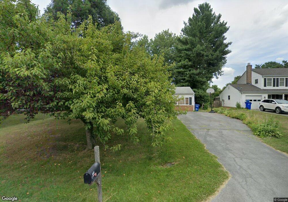
20101 Westerly Ave Poolesville, MD 20837
Poolesville AreaEstimated Value: $595,934 - $715,000
About This Home
This home is located at 20101 Westerly Ave, Poolesville, MD 20837 and is currently estimated at $638,984, approximately $399 per square foot. 20101 Westerly Ave is a home located in Montgomery County with nearby schools including Poolesville Elementary School, John H. Poole Middle School, and Poolesville High School.
Ownership History
We collect this data history from publicly available records. To have your information removed, we recommend requesting removal directly through your county’s website.
Purchase Details
Purchase Details
Home Values in the Area
Average Home Value in this Area
Purchase History
We collect this data history from publicly available records. To have your information removed, we recommend requesting removal directly through your county’s website.
| Date | Buyer | Sale Price | Title Company |
|---|---|---|---|
| $202,900 | -- | ||
| $180,000 | -- |
Mortgage History
We collect this data history from publicly available records. To have your information removed, we recommend requesting removal directly through your county’s website.
| Date | Status | Borrower | Loan Amount |
|---|---|---|---|
| Open | $252,910 | ||
| Closed | $279,200 |
Tax History
We collect this data history from publicly available records. To have your information removed, we recommend requesting removal directly through your county’s website.
| Year | Tax Paid | Tax Assessment Tax Assessment Total Assessment is a certain percentage of the fair market value that is determined by local assessors to be the total taxable value of land and additions on the property. | Land | Improvement |
|---|---|---|---|---|
| 2025 | $5,621 | $428,033 | ||
| 2024 | $5,258 | $404,900 | $184,600 | $220,300 |
| 2023 | $5,647 | $386,167 | $0 | $0 |
| 2022 | $3,883 | $367,433 | $0 | $0 |
| 2021 | $3,604 | $348,700 | $184,600 | $164,100 |
| 2020 | $3,604 | $345,333 | $0 | $0 |
| 2019 | $3,570 | $341,967 | $0 | $0 |
| 2018 | $3,541 | $338,600 | $184,600 | $154,000 |
| 2017 | $3,515 | $331,667 | $0 | $0 |
| 2016 | -- | $324,733 | $0 | $0 |
| 2015 | $3,139 | $317,800 | $0 | $0 |
| 2014 | $3,139 | $317,800 | $0 | $0 |
Map
- 19932 Westerly Ave
- 19809 Sedgwick Way
- 17086 Oxley Farm Rd
- 19804 Westerly Ave
- 17212 Whites Rd
- 19740 Wootton Ave
- 19613 Bodmer Ave
- 19110 Tatie Way
- 8 Haller Ct
- 17403 Fyffe Rd
- 17100 Evans Way
- 207 Allen Ln
- 209 Allen Ln
- 102 Allen
- 112 Allen Ln
- 19509 Fisher Ave Unit (LOT 2)
- 19505 Fisher Ave Unit (LOT 1)
- 19501 Fisher Ave
- 17929 Bliss Dr
- 17004 Spates Hill Rd
- 17301 W Willard Rd
- 20105 Westerly Ave
- 20013 Westerly Ave
- 20109 Westerly Ave
- 20009 Westerly Ave
- 17311 W Willard Rd
- 20113 Westerly Ave
- 20005 Westerly Ave
- 17204 General Custer Way
- 17208 General Custer Way
- 17112 Oxley Farm Rd
- 20001 Westerly Ave
- 20012 Westerly Ave
- 20108 Westerly Ave
- 17212 General Custer Way
- 20008 Westerly Ave
- 17108 Oxley Farm Rd
- 17321 W Willard Rd
- 17216 General Custer Way
- 17300 W Willard Rd
Ask me questions while you tour the home.