20105 S Yale Rd Spangle, WA 99031
Estimated Value: $611,762 - $713,000
2
Beds
1
Bath
3,040
Sq Ft
$213/Sq Ft
Est. Value
About This Home
This home is located at 20105 S Yale Rd, Spangle, WA 99031 and is currently estimated at $647,921, approximately $213 per square foot. 20105 S Yale Rd is a home located in Spokane County with nearby schools including Liberty Elementary/Junior High School and Liberty High School.
Ownership History
Date
Name
Owned For
Owner Type
Purchase Details
Closed on
Jul 17, 2023
Sold by
Cherny Mikhail
Bought by
Cherny Greg
Current Estimated Value
Purchase Details
Closed on
Aug 7, 1996
Sold by
Mcpherson Richard R and Mcpherson Tina D
Bought by
Cherny Michael G and Cherny Madia N
Purchase Details
Closed on
Aug 10, 1994
Sold by
Williams Cliff H and Williams Kathy A
Bought by
Mcpherson Richard R and Mcpherson Tina D
Purchase Details
Closed on
Aug 5, 1994
Sold by
Mccandles Bruce F and Mccandless Lucy M
Bought by
Mcpherson Richard R and Mcpherson Tina D
Create a Home Valuation Report for This Property
The Home Valuation Report is an in-depth analysis detailing your home's value as well as a comparison with similar homes in the area
Purchase History
| Date | Buyer | Sale Price | Title Company |
|---|---|---|---|
| Cherny Greg | -- | None Listed On Document | |
| Cherny Michael G | -- | Pioneer Title Company | |
| Mcpherson Richard R | -- | Pioneer Title Company | |
| Mcpherson Richard R | -- | Transamerica Title Services |
Source: Public Records
Tax History
| Year | Tax Paid | Tax Assessment Tax Assessment Total Assessment is a certain percentage of the fair market value that is determined by local assessors to be the total taxable value of land and additions on the property. | Land | Improvement |
|---|---|---|---|---|
| 2025 | $4,497 | $492,710 | $175,710 | $317,000 |
| 2024 | $4,497 | $527,100 | $187,300 | $339,800 |
| 2023 | $3,889 | $527,100 | $187,300 | $339,800 |
| 2022 | $3,671 | $475,350 | $131,450 | $343,900 |
| 2021 | $3,680 | $340,710 | $73,910 | $266,800 |
| 2020 | $3,520 | $316,010 | $73,910 | $242,100 |
| 2019 | $2,848 | $272,300 | $76,200 | $196,100 |
| 2018 | $3,182 | $258,560 | $66,260 | $192,300 |
| 2017 | $2,964 | $249,000 | $61,100 | $187,900 |
| 2016 | $2,509 | $231,600 | $61,100 | $170,500 |
| 2015 | $2,548 | $222,300 | $57,100 | $165,200 |
| 2014 | -- | $246,600 | $57,800 | $188,800 |
| 2013 | -- | $0 | $0 | $0 |
Source: Public Records
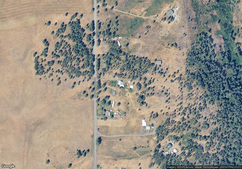
Map
Nearby Homes
- XXX E Cornwall Rd
- 3013 E Watt Rd
- 102 E Cameron Rd
- 365 N Pine St
- 205 E 1st St
- 7617 E Elder Rd
- 497 E Stutler Rd
- Lot 2 Nka Cheney Spangle Rd Unit Parcel 32085.9041
- 1112 E Jennings Rd
- 15010 S Stentz Rd
- 20xxx S Parker Rd
- 13853 S Serenity Ln
- 22XX E Miller Rd
- 13417 S Bluegrouse Ln
- 1813 E Estates Rd
- 1225 E Estates Rd
- 177XX S Smythe Rd
- 13110 S Fairway Ridge Ln
- 2410 E Hangman Creek Ln
- 1517 E Wildflower Ln
- 20137 S Yale Rd
- 20203 S Yale Rd
- 19919 S Yale Rd
- 20011 S Yale Rd
- 20217 S Yale Rd
- 0 S Yale Rd
- 20309 S Yale Rd
- 20403 S Yale Rd
- 19817 S Yale Rd
- 19725 S Yale Rd
- 205XX S Yale Rd
- 19707 S Yale Rd
- 20511 S Yale Rd
- 19611 S Yale Rd
- 20615 S Yale Rd
- 20701 S Yale Rd
- 19409 S Yale Rd
- 20801 S Yale Rd
- 19428 S Yale Rd
- 21017 S Yale Rd
Your Personal Tour Guide
Ask me questions while you tour the home.