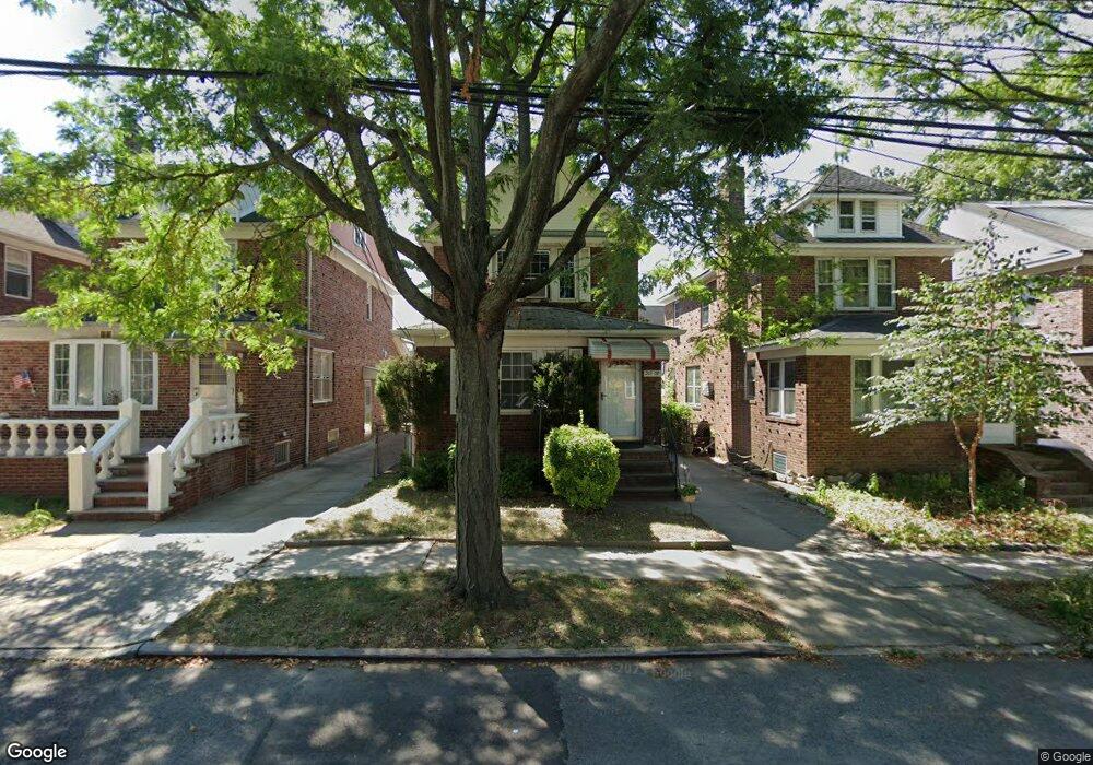
20108 36th Ave Bayside, NY 11361
Auburndale NeighborhoodEstimated Value: $1,018,000 - $1,140,437
--
Bed
--
Bath
1,893
Sq Ft
$576/Sq Ft
Est. Value
About This Home
This home is located at 20108 36th Ave, Bayside, NY 11361 and is currently estimated at $1,090,359, approximately $575 per square foot. 20108 36th Ave is a home located in Queens County with nearby schools including P.S. 159 Queens, I.S. 25 Adrien Block, and Bayside High School.
Ownership History
Date
Name
Owned For
Owner Type
Purchase Details
Closed on
May 15, 2009
Sold by
O'Connor Daniel and O'Connor Siobhan
Bought by
Li Yansui and Yiming Maimaiti
Current Estimated Value
Home Financials for this Owner
Home Financials are based on the most recent Mortgage that was taken out on this home.
Original Mortgage
$417,000
Outstanding Balance
$263,754
Interest Rate
4.87%
Mortgage Type
Purchase Money Mortgage
Estimated Equity
$826,605
Purchase Details
Closed on
Jun 8, 2001
Sold by
Singh Ramnaris and Singh Irene
Bought by
O'Connor Siobhan and O'Connor Daniel
Home Financials for this Owner
Home Financials are based on the most recent Mortgage that was taken out on this home.
Original Mortgage
$269,000
Interest Rate
6.77%
Create a Home Valuation Report for This Property
The Home Valuation Report is an in-depth analysis detailing your home's value as well as a comparison with similar homes in the area
Home Values in the Area
Average Home Value in this Area
Purchase History
| Date | Buyer | Sale Price | Title Company |
|---|---|---|---|
| Li Yansui | $542,000 | -- | |
| O'Connor Siobhan | -- | -- |
Source: Public Records
Mortgage History
| Date | Status | Borrower | Loan Amount |
|---|---|---|---|
| Open | Li Yansui | $417,000 | |
| Previous Owner | O'Connor Siobhan | $269,000 |
Source: Public Records
Tax History Compared to Growth
Tax History
| Year | Tax Paid | Tax Assessment Tax Assessment Total Assessment is a certain percentage of the fair market value that is determined by local assessors to be the total taxable value of land and additions on the property. | Land | Improvement |
|---|---|---|---|---|
| 2025 | $8,268 | $43,316 | $7,490 | $35,826 |
| 2024 | $8,280 | $42,564 | $7,290 | $35,274 |
| 2023 | $7,836 | $40,415 | $6,239 | $34,176 |
| 2022 | $7,351 | $61,140 | $10,800 | $50,340 |
| 2021 | $7,305 | $62,160 | $10,800 | $51,360 |
| 2020 | $7,345 | $65,760 | $10,800 | $54,960 |
| 2019 | $7,127 | $67,920 | $10,800 | $57,120 |
| 2018 | $6,568 | $33,679 | $6,662 | $27,017 |
| 2017 | $6,200 | $31,886 | $6,898 | $24,988 |
| 2016 | $5,707 | $31,886 | $6,898 | $24,988 |
| 2015 | $3,408 | $30,081 | $9,157 | $20,924 |
| 2014 | $3,408 | $29,559 | $9,660 | $19,899 |
Source: Public Records
Map
Nearby Homes
- 36-05 200th St
- 36- 40 201st St Unit A, B, C
- 35-16 203rd St
- 35-27 203rd St
- 37-02 Francis Lewis Blvd
- 3454 201st St
- 37-6 Francis Lewis Blvd
- 37-12 Francis Lewis Blvd
- 34-41 201st St
- 200-06 39th Ave
- 3611 204th St
- 20403 36th Ave Unit 397
- 203-07 35th Ave Unit B
- 35-42 205th St Unit 288
- 20070 39th Ave
- 204-8 35th Ave Unit 247
- 36-46 205th St
- 204-12 35th Ave Unit 254
- 35-31 205th St Unit 300
- 35-31 205th St Unit 302